11 October 2026
Showers becoming widespread this morning, possibly heavy, clearing to fine spells by early evening. The odd shower west of Tauranga at night. Northwesterlies developing this morning, dying out early evening.
Loading outdoor place details…
Whirinaki Te Pua-a-Tāne Conservation Park
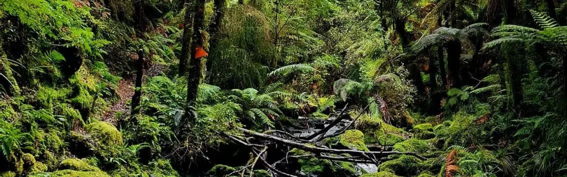
Walk through beech forest to lowland podocarp forests on this premier Whirinaki track.
Distance
25.6 km
Walking time
2 days
Difficulty
Intermediate
Dogs
Not allowed
Wheelchair access
Not marked friendly
Current status
Weather outlook
Issued 11 Oct 2026, 11:03 am
11 October 2026
Showers becoming widespread this morning, possibly heavy, clearing to fine spells by early evening. The odd shower west of Tauranga at night. Northwesterlies developing this morning, dying out early evening.
12 October 2026
A few showers. Northwesterlies developing for a time in the afternoon and evening.
13 October 2026
A few showers. Northwesterlies developing in the morning.
14 October 2026
A few showers. Northwesterlies developing in the morning.
15 October 2026
Rain, clearing in the evening. Northerlies, turning westerly in the morning.
Regional guidance only; elevation and terrain can produce different conditions.
Explore the area
Explore the track route and surrounding area before you set out.
Plateau Rd to Central Whirinaki Hut Time: 3 hr Distance: 9.6 km Begin your walk at the Plateau Road end. After about an hour, you’ll reach the Caves swing bridge. Be sure to look out for the large cave that gives this area its name. After crossing the swing bridge, continue with the river on your left until you arrive at the next major bridge, Taumutu. From the Taumutu bridge, carry on until you reach Central Whirinaki Hut . Note: About 30 minutes south of Central Whirinaki Hut, there is a soak hole. While there's plenty of room to pass, approach with caution. Central Whirinaki Hut to River Rd Time: 5 hr Distance: 16 km From Central Whirinaki Hut, continue north on the Whirinaki Track to Vern’s Camp , which has a shelter and toilet, and is about 2 hours 30 minutes (8 km) from Central. Follow the track along the river for another 3 km to Whirinaki Waterfall. The 200-meter detour to the falls is definitely worth the visit. Just across the bridge, about 100 m further, you’ll find a composting toilet and picnic tables. After visiting the falls, double back and continue on the track with the river on your left. Cross the Mangamate bridge and follow the trail along the river. After about an hour, you’ll cross the bridge over the stunning Te Whaiti-Nui-a-Toi Canyon. From there, it’s only a short walk to the River Rd car park.
This site may be damaged with slips, flooding or fallen trees from severe weather. Be prepared to turn back if needed.
Central Whirinaki Hut Verns Camp
The Track is 90 km south of Rotorua. Northern entrance – River Road carpark Turn off SH5 onto SH38 near Maunga Kākaramea. At Te Whaiti, turn into Minginui Road, then into Old Te Whaiti Road (gravel) at Minginui Village. Take first left into River Road and follow the signs. It's around 10 min to River Road carpark. Southern entrance – Plateau carpark From Minginui Village turn into Old Te Whaiti Road (gravel) Take the second left into Main South road and follow the road signs for 43 km to Plateau carpark. These roads are well signposted through to Plateau, Matakuhia, and Pukahunui carparks in the southern end of the Whirinaki Te Pua-a-Tāne Conservation Park.
We encourage you to continue gaining the skills and knowledge required for a safe trip. The NZ Mountain Safety Council has lots of free resources and information you can use. These can be accessed via www.mountainsafety.org.nz . We recommend trying these online learning tools: Trip Planning Tramping / field Skills Basic Navigation River Safety Additionally, check out the range of helpful videos available from the NZ Mountain Safety Council YouTube channel
No dogs.
Track information, access and weather can change. Confirm current alerts and land-manager information close to departure, tell someone your plans, and carry equipment appropriate for the route and conditions.