
11 October 2026
Fine, apart from showers before dawn, then some cloud in the west from afternoon. Northerlies changing westerly in the morning, dying out early evening.
Loading outdoor place details…
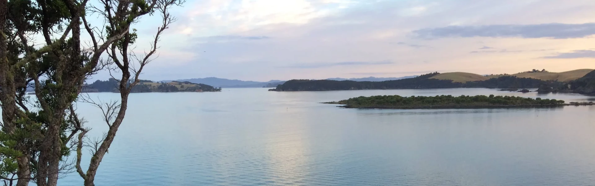
Akeake Historic Reserve
The track starts from Opito Bay and splits into a series of short, easy walks - visit a small beach in the Te Puna Inlet and a pa site on Tareha Point.
Distance
1.4 km
Walking time
15-30 min one way
Difficulty
Easy
Dogs
Not allowed
Wheelchair access
Not marked friendly
Current status
No active alerts found. Conditions can still change, so check again before leaving.
Weather outlook
Issued 10 Oct 2026, 11:01 pm
11 October 2026
Fine, apart from showers before dawn, then some cloud in the west from afternoon. Northerlies changing westerly in the morning, dying out early evening.
12 October 2026
Partly cloudy. Westerlies.
13 October 2026
Partly cloudy, with isolated showers in the afternoon and evening. Northwesterlies.
14 October 2026
Partly cloudy with isolated showers developing in the morning. Northwesterlies.
15 October 2026
Occasional rain, clearing. Northerlies, turning westerly.
Regional guidance only; elevation and terrain can produce different conditions.
Explore the area
Explore the track route and surrounding area before you set out.
Track description The track starts between two houses on Ake Ake Road, and heads up a hill to a 4 way intersection. The first option leads straight ahead to Lizard Bay. This rocky beach makes a lovely sheltered spot for a picnic. There is no loop option on this part of the track. The second option is to turn right to walk to the Tareha Point viewing platform. This area is an old pa site that used to guard the entrance to the Te Puna and Kerikeri inlets. Allow some time here to enjoy the views of Motupapa and Moturoa Islands. There is an option part way along the track to the platform to turn right and loop back to the boat ramp where you parked. The final option is to turn left at the 4 way intersection and to walk up to a seat that looks over the Point and Bay area. You can either return the way you came, or carry on for 5 minutes to an exit along a shared driveway which loops back to Opito Road. The tracks are well formed but parts of it are steep and there are some tree roots that could be a tripping hazard. Care needs to be taken along the sections of track above sheer cliffs. Children should be supervised on this part of the track. Please be respectful of the ecological and cultural significance of the area. Kiwi are found in the area and DOC ask that people clean their footwear before walking the track to prevent kauri dieback. Dogs must stay at home but this is a great walk for kids. Getting there It's about a 20 minute drive along sealed roads from Kerikeri to the start of the track. There are a few key turns to navigate along the western then northern sides of Kerikeri Inlet, but once you hit Rangitane Road, you basically head straight east until you get there. Park by the boat ramp and walk up Ake Ake Road. Look for the green DOC sign on your right, which marks the start of the track. Use this location in Google Maps to find your way there Helpful resources Find tips, guides and how-to videos to help you prepare for your walk at mountainsafety.org.nz
No dogs.
Track information, access and weather can change. Confirm current alerts and land-manager information close to departure, tell someone your plans, and carry equipment appropriate for the route and conditions.