11 October 2026
Showers, possibly heavy, clearing to fine in the morning, but returning at night. Northwesterlies developing in the morning.
Loading outdoor place details…
Long Bay Regional Park
A coastal walk from Long Bay Beach to the Okura River revealing impressive clifftop views of the Hauraki Gulf. Return around the shoreline at low tide to experience the Long Bay Okura Marine Reserve and see endangered shorebirds. You can return along the coastline at low tide but be aware of rock falls and slippery rocks.
Distance
8 km
Walking time
3 hours return
Difficulty
Easy
Dogs
Not allowed
Wheelchair access
Not marked friendly
Current status
No active alerts found. Conditions can still change, so check again before leaving.
Weather outlook
Issued 10 Oct 2026, 11:01 pm
11 October 2026
Showers, possibly heavy, clearing to fine in the morning, but returning at night. Northwesterlies developing in the morning.
12 October 2026
Mostly cloudy with isolated showers, becoming widespread for a time in the afternoon. Northwesterlies.
13 October 2026
Partly cloudy, with isolated showers in the afternoon and evening. Northwesterlies.
14 October 2026
A few showers clearing to fine in the afternoon. Northwesterlies.
15 October 2026
A few showers, some possibly heavy. Northerlies, turning westerly.
Regional guidance only; elevation and terrain can produce different conditions.
Explore the area
Explore the track route and surrounding area before you set out.
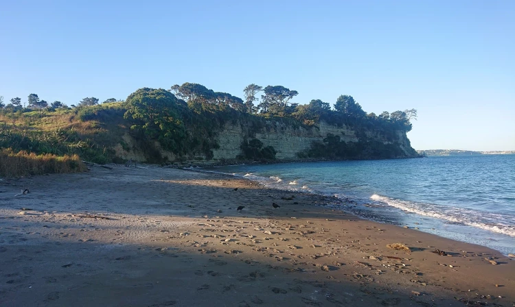
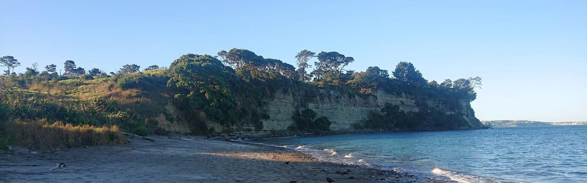
Long Bay is a beautiful sandy beach known for a great place to swim and surf. The Coastal Walk commences at the northern end of the car park. Follow the road past the security chain and turn left on to a flat walkway through fields and wetlands. Be on the lookout for plenty of birdlife. After approximately 300m, cross the stream using the bridge and start the climb to the top of the ridge. You'll winds your way uphill through native bush until it enters open grassland and heads towards the coastline with stunning views of the coast and back towards Auckland City. Just as you begin your descent towards Granny’s Bay, there is the option to take the detour to the Pillbox (about 400m return), a relic from Auckland’s defence system. A few meters further on there is the option to continue directly down the hill towards Granny’s Bay or enjoy the track through the 100 acre native bush. The 100 acre track will be muddy after a lot of rain and adds about 800m to your journey, but is a worthwhile addition if time permits. At the base of the hill, make your way out on to the sand at Granny’s Bay. Have a swim if the weather is right or just relax on the sand. If the tide is low, return to Long Bay around the beach and rocks. If the tide is high, return the same way you came back to the Long Bay car park, perhaps returning by the Nature Trail to complete your loop and see the historic Vaughan Homestead. The track is suitable for off-road prams/buggies, although some areas are steep and require good levels of fitness. You will not be able to return via the beach/rocks with a buggie. This walk can be completed by most people, although some general fitness would be an advantage given the up and down terrain. The tracks are in excellent condition. Facilities at Long Bay include toilets, drinking fountains, BBQs, picnic tables, a playground, parking and bus stop. Please note that these facilities are not available on the walk, they are all located in parkland behind the beach.
Visiting areas with healthy kauri trees Please make sure you follow these steps: Clean your footwear, tyres and equipment before and after visiting our kauri forests. If you are walking your dog, you should also make sure you clean their paws. Use cleaning stations every time you pass one while you are walking in a park. Stay on the tracks and keep off kauri roots. Stay away from closed tracks. Don't remove soil from, or bring soil into, areas with kauri trees.
The walk starts from the southern end of the Long Bay Regional Park. Parking is available in the car park off Beach Road. Use this location in Google Maps to find your way there.
We encourage you to continue gaining the skills and knowledge required for a safe trip. The NZ Mountain Safety Council has lots of free resources and information you can use. These can be accessed via www.mountainsafety.org.nz . We recommend trying these online learning tools: Trip Planning Tramping / field Skills Basic Navigation River Safety Additionally, check out the range of helpful videos available from the NZ Mountain Safety Council YouTube channel .
Prohibited
Track information, access and weather can change. Confirm current alerts and land-manager information close to departure, tell someone your plans, and carry equipment appropriate for the route and conditions.