10 October 2026
Mostly cloudy with showers, mainly about the ranges where some may be heavy. Northeasterlies, becoming strong in exposed places this afternoon.
Loading outdoor place details…
Franz Josef Glacier/Kā Roimata o Hine Hukatere
This challenging day hike to Roberts Point provides spectacular views of Franz Josef Glacier and the surrounding mountains. It requires good fitness and is best suited to experienced hikers.
Distance
12.3 km
Walking time
5 hr 20 min return
Difficulty
Advanced
Dogs
Not allowed
Wheelchair access
Not marked friendly
Current status
Weather outlook
Issued 10 Oct 2026, 4:55 pm
10 October 2026
Mostly cloudy with showers, mainly about the ranges where some may be heavy. Northeasterlies, becoming strong in exposed places this afternoon.
11 October 2026
Showers, possibly heavy, retreating to the ranges in the afternoon, clearing in the evening. Northeasterlies, dying out in the afternoon.
12 October 2026
Fine. Northerlies developing for a time in the afternoon.
13 October 2026
Rain becoming persistent in the morning. Light winds.
14 October 2026
Rain with heavy falls easing to a few showers in the afternoon. Light winds.
Regional guidance only; elevation and terrain can produce different conditions.
Explore the area
Explore the track route and surrounding area before you set out.
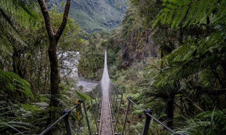
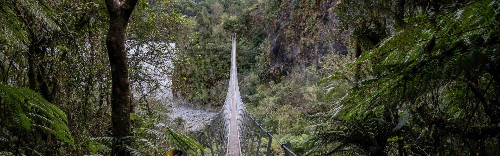
Time required : 5-6 hours return Starting from the Douglas Bridge, Roberts Point Track winds up the true right of the Waiho (Franz Josef Glacier) Valley, over ice-carved rock and across many side streams to a viewpoint high above the glacial ice. In around an hour the track opens out onto ice smoothed rock outcrops at Hende's Hut. This hut is unsuitable for overnight accommodation, but it does provide a sheltered lunch spot. The track climbs on through open scrubland to a suspension bridge crossing Rope Creek and continues steadily upwards to Roberts Point. The views from here are well worth the effort with the glacier, sheer rock walls, waterfalls and mountain peaks all visible.
This track does not provide access onto the glacier. Stay on the marked track - do not attempt to climb down to the main river from any point on the track. The track requires a good level of fitness and it is slippery in places. Good boots are essential. Check the current track conditions and weather forecasts at the Westland Tai Poutini National Park Visitor Centre before starting your trip. Crossing the streams on this track can be dangerous during and after rain – be careful and turn back if you are unsure. Never attempt to cross the Waiho River.
There are two ways to access the Roberts Point Track. You can drive or walk south from the Franz Josef Waiau township across the Waiho River bridge and turn left onto the Glacier Access Road or Te Ara a Waiau. Drive or walk for approximately 2 km (Alex Knob/Lake Wombat car park) or 4 km (road end car park). Use this location in Google Maps to find your way there.
We encourage you to continue gaining the skills and knowledge required for a safe trip. The NZ Mountain Safety Council has lots of free resources and information you can use. These can be accessed via www.mountainsafety.org.nz . We recommend trying these online learning tools: Trip Planning Tramping / field Skills Basic Navigation River Safety Additionally, check out the range of helpful videos available from the NZ Mountain Safety Council YouTube channel .
Fronts moving up from the south can bring rapidly deteriorating conditions. The valley is frequently exposed to heavy rain which makes side-creeks unsafe to cross.
No dogs.
Track information, access and weather can change. Confirm current alerts and land-manager information close to departure, tell someone your plans, and carry equipment appropriate for the route and conditions.