11 October 2026
Showers, possibly heavy, retreating to the ranges in the afternoon, clearing in the evening. Northeasterlies, dying out in the afternoon.
Loading outdoor place details…
Fox Glacier area
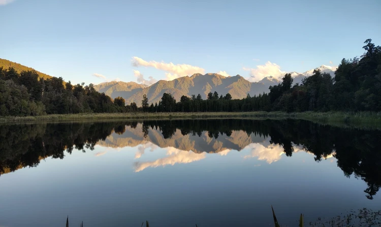
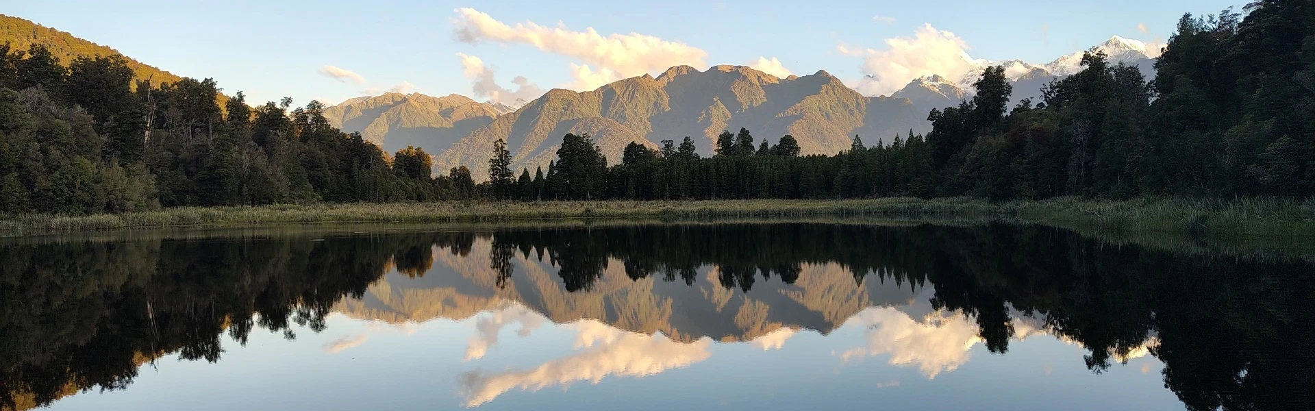
Walk through lush rainforest to Lake Matheson. It’s world-famous for its mirror reflections of New Zealand’s highest mountains.
Distance
4.4 km
Walking time
1 hr 30 min
Difficulty
Easiest, Easy
Dogs
Not allowed
Wheelchair access
Friendly
Current status
No active alerts found. Conditions can still change, so check again before leaving.
Weather outlook
Issued 10 Oct 2026, 11:01 pm
11 October 2026
Showers, possibly heavy, retreating to the ranges in the afternoon, clearing in the evening. Northeasterlies, dying out in the afternoon.
12 October 2026
Fine. Northwesterlies developing for a time in the afternoon.
13 October 2026
Rain developing in the morning. Northerlies developing in the morning.
14 October 2026
Rain, with heavy falls. Light winds.
15 October 2026
Showers, easing for a time. Southerlies developing.
Regional guidance only; elevation and terrain can produce different conditions.
Explore the area
Explore the track route and surrounding area before you set out.
A well-formed path loops around this dark-coloured lake, famous for its ability to mirror the surrounding mountains. The best chance of catching the stillness of the water is early in the morning or late in the evening. During the day, any slight breeze might spoil the delicate mirroring surface of the still waters. The path undulates under ancient forest canopy to a series of viewing platforms around the perimeter of the lake. Abundant infographics explain the surrounding flora and fauna and the colour of the water in the lake.
No watercraft is permitted on the lake Weather may change rapidly Toilets are available at the carpark A few resting areas are available along the track Bring water, warm clothing, insect repellent and sunscreen
From Fox Glacier, head north on SH6. Turn left onto Cook Flat Rd. Turn right onto Lake Matheson Rd. Use this location in Google Maps to find your way there.
We encourage you to continue gaining the skills and knowledge required for a safe trip. The NZ Mountain Safety Council has lots of free resources and information you can use. These can be accessed via www.mountainsafety.org.nz . We recommend trying these online learning tools: Trip Planning Tramping / field Skills Basic Navigation River Safety Additionally, check out the range of helpful videos available from the NZ Mountain Safety Council YouTube channel .
No dogs.
Track information, access and weather can change. Confirm current alerts and land-manager information close to departure, tell someone your plans, and carry equipment appropriate for the route and conditions.