09 October 2026
Fine. Easterlies, strong at times until early evening.
Loading outdoor place details…
Ruahine Forest Park
This track in the scenic Oroua River valley can be enjoyed as a half day tramp but it's also a good overnight tramp for families with children and new trampers.
Distance
2.4 km
Walking time
30 min one way
Difficulty
Easy
Dogs
Allowed — check local rules
Wheelchair access
Not marked friendly
Current status
No active alerts found. Conditions can still change, so check again before leaving.
Weather outlook
Issued 9 Oct 2026, 4:49 pm
09 October 2026
Fine. Easterlies, strong at times until early evening.
10 October 2026
Mainly fine to start, then cloud increasing and isolated showers developing in the afternoon. Northeasterlies, dying out for a time in the afternoon.
11 October 2026
Showers, some heavy. Northeasterlies, turning westerly in the morning.
12 October 2026
Cloud clearing and becoming fine in the morning. Light winds.
13 October 2026
Mostly cloudy, with isolated showers. Westerlies developing in the morning.
Regional guidance only; elevation and terrain can produce different conditions.
Explore the area
Explore the track route and surrounding area before you set out.
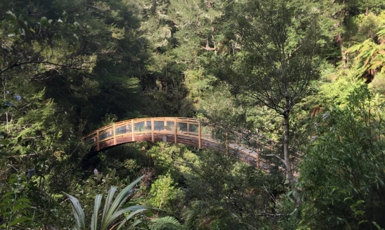
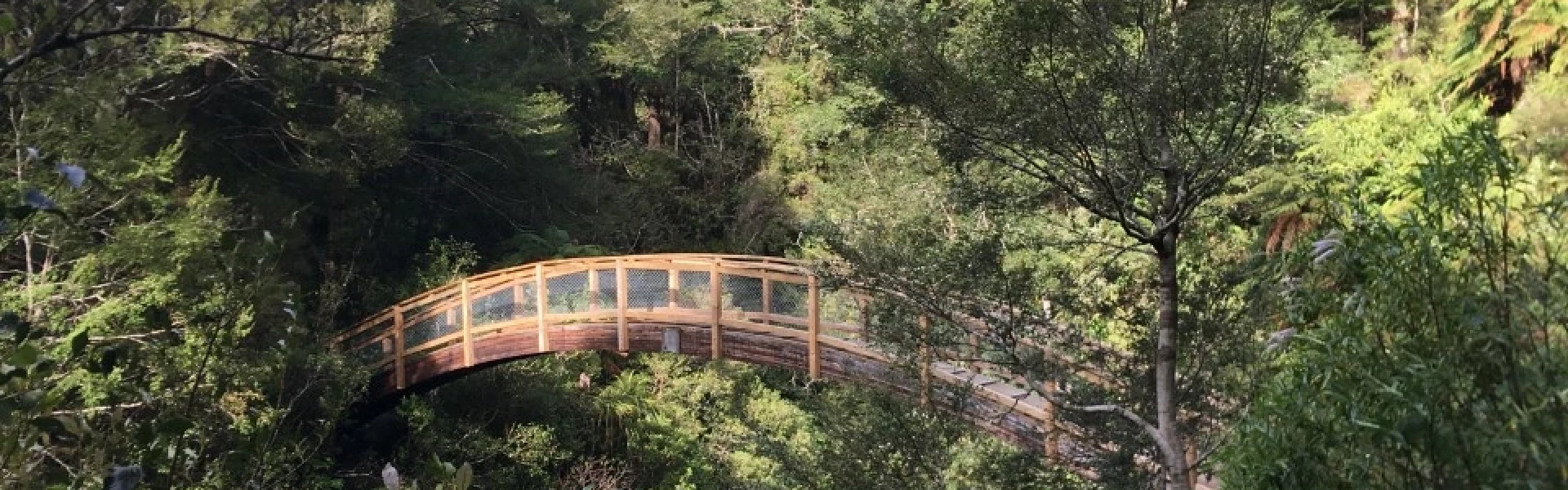
From the carpark a steadily graded track descends to the forest park boundary. Shortly after this a picturesque arched wooden bridge crosses high above a narrow gorge in Umutoi Creek. The final part of the walk is a bit more challenging than the beginning with more of an uphill climb. Just before reaching the hut, a side track leads down to flats beside the Oroua River, perfect for camping or picnicking. The track is well-marked with DOC markers along the way. Allow about 30 minutes to reach the lodge from the carpark, and 40 minutes to reach the river.
Alice Nash Memorial Lodge
The track is about an hour north of Palmerston North in the Ruahine Forest Park. Travel north through Apiti to Table Flat Road. Continue up the road, until you come to a Y junction. Take the left turn to Forest Park, up Pederson's Road It is a narrow winding gravel road, so please take care and keep to your left. Continue up a narrow winding road to the Table Flat Carpark Use this location on Google Maps to help find your way there.
We encourage you to continue gaining the skills and knowledge required for a safe trip. The NZ Mountain Safety Council has lots of free resources and information you can use. These can be accessed via www.mountainsafety.org.nz . We recommend trying these online learning tools: Trip Planning Tramping / field Skills Basic Navigation River Safety Additionally, check out the range of helpful videos available from the NZ Mountain Safety Council YouTube channel
Dogs with a DOC permit for recreational hunting or management purposes only.
Track information, access and weather can change. Confirm current alerts and land-manager information close to departure, tell someone your plans, and carry equipment appropriate for the route and conditions.