10 October 2026
Scattered showers, possibly heavy and thundery with hail, easing this evening.
Loading outdoor place details…
Selwyn District
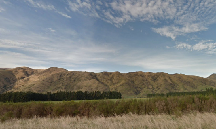
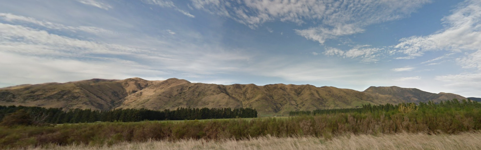
A scenic track through short tussock grassland with associated shrubs, to the summit of the Sugarloaf. Most of the track is on a 4WD track which is steep in some places. Good 360 degrees view covering Thirteen Mile Bush and the Torlesse Range foothills to the plains.
Distance
10 km
Walking time
4-5 hrs return
Difficulty
Intermediate
Dogs
Not allowed
Wheelchair access
Not marked friendly
Current status
Weather outlook
Issued 10 Oct 2026, 9:23 pm
10 October 2026
Scattered showers, possibly heavy and thundery with hail, easing this evening.
11 October 2026
Showers about the Divide, clearing in the evening, otherwise fine.
12 October 2026
Fine.
13 October 2026
Partly cloudy with isolated showers.
14 October 2026
Rain, with heavy falls.
Regional guidance only; elevation and terrain can produce different conditions.
Explore the area
Explore the track route and surrounding area before you set out.
Annavale Track follows an easement across private land from the Benmore Track in Thirteen Mile Bush. The track crosses regenerating bush on farmland along a 4WD track up to the summit of two peaks. These are the first hills above 1000m elevation before reaching the larger foothills that comprise Korowai/Torlesse Tussocklands. The trail is well signposted and provides beautiful views over Canterbury from this farmland hill. Annavale Track has the potential to connect with a half-day visit to Benmore Hut.
Leave gates as found. No dogs.
Approximately 12km west of Springfield, off Benmore Road, off West Coast Road. Supplies and facilities are available at Springfield, but not on track. 2 and 4WD parking is available. Foot access only.
The Thirteen Mile Bush (Benmore) Track is shown in the Department of Conservation’s Korowai/Torlesse Tussocklands brochure This track is part of the Herenga ā Nuku Aotearoa track database. Herenga ā Nuku has maps and advice about public access to the outdoors . We encourage you to continue gaining the skills and knowledge required for a safe trip. The NZ Mountain Safety Council has lots of free resources and information you can use. You can access them at www.mountainsafety.org.nz . We recommend trying these online learning tools: Trip Planning Tramping/field Skills Basic Navigation River Safety Additionally, check out the range of helpful videos available from the NZ Mountain Safety Council YouTube channel .
Track information, access and weather can change. Confirm current alerts and land-manager information close to departure, tell someone your plans, and carry equipment appropriate for the route and conditions.