11 October 2026
Showers about the Divide, clearing in the evening, otherwise fine.
Loading outdoor place details…
Peak Hill Conservation Area
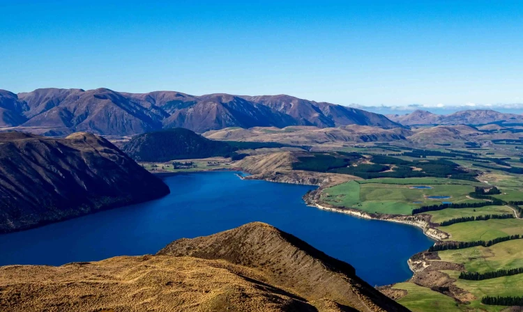
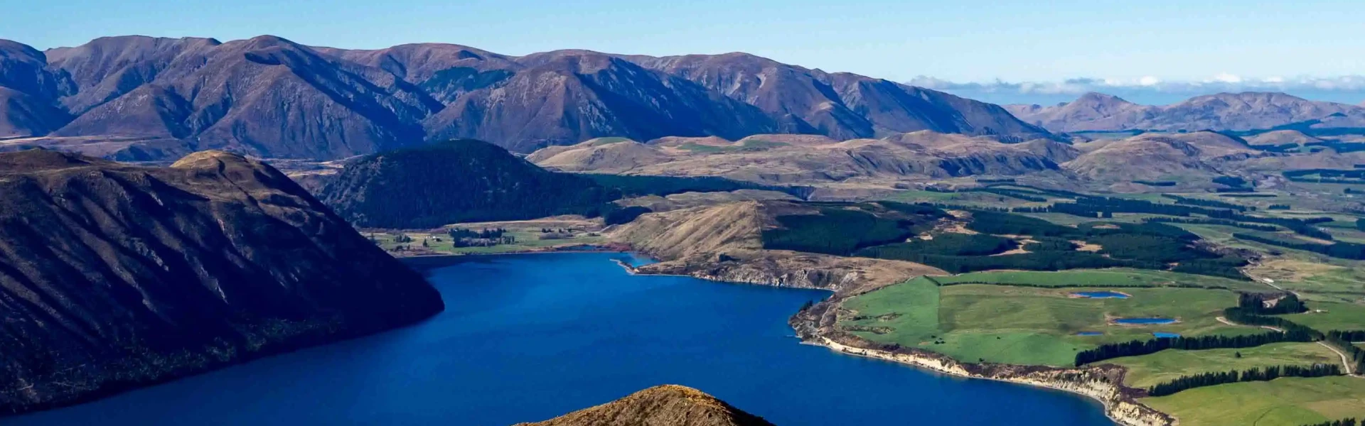
The climb to the top of Peak Hill rewards walkers with sweeping views of Lake Coleridge and its surrounds. The walk is extremely exposed to the weather and walkers should be well equipped.
Distance
3.01 km
Walking time
3 hr return
Difficulty
Expert
Dogs
Not allowed
Wheelchair access
Not marked friendly
Current status
No active alerts found. Conditions can still change, so check again before leaving.
Weather outlook
Issued 11 Oct 2026, 7:33 am
11 October 2026
Showers about the Divide, clearing in the evening, otherwise fine.
12 October 2026
Fine.
13 October 2026
Partly cloudy with isolated showers.
14 October 2026
Rain, with heavy falls.
15 October 2026
Rain developing, with snow to 600 metres.
Regional guidance only; elevation and terrain can produce different conditions.
Explore the area
Explore the track route and surrounding area before you set out.
You will begin on private farmland before crossing a stile to begin a steep ascent before the gradient becomes slightly easier as it makes its way up the ridge - a final steep climb takes you up to the summit marked by a large cairn. The track is easy-to-follow, well-marked and for the most part is a single hard-packed track through tussock and grasses which becomes rocky in a few places higher up. It is very exposed and therefore essential that you check the weather forecast and carry the right gear for the conditions.
This track is very exposed to the elements. Check the weather and wear appropriate gear No dogs allowed (crosses private farmland) Good footwear advised as track can become slippery from rain and loose stones It is a well-trafficked route suitable for walkers, families, and anyone of moderate fitness There is no water available There are no toilets
Parking for the track is approximately 9km up Algidus road after passing through Lake Coleridge village and is marked by a DOC information sign on the right-hand side. You can park on the grass verge. Use this location in Google Maps to find your way there.
We encourage you to continue gaining the skills and knowledge required for a safe trip. The NZ Mountain Safety Council has lots of free resources and information you can use. These can be accessed via www.mountainsafety.org.nz . We recommend trying these online learning tools: Trip Planning Tramping / field Skills Basic Navigation River Safety Additionally, check out the range of helpful videos available from the NZ Mountain Safety Council YouTube channel .
No dogs.
Track information, access and weather can change. Confirm current alerts and land-manager information close to departure, tell someone your plans, and carry equipment appropriate for the route and conditions.