11 October 2026
A few showers, possibly heavy, clearing to fine in the afternoon. Northeasterlies, turning northwesterly in the morning.
Loading outdoor place details…
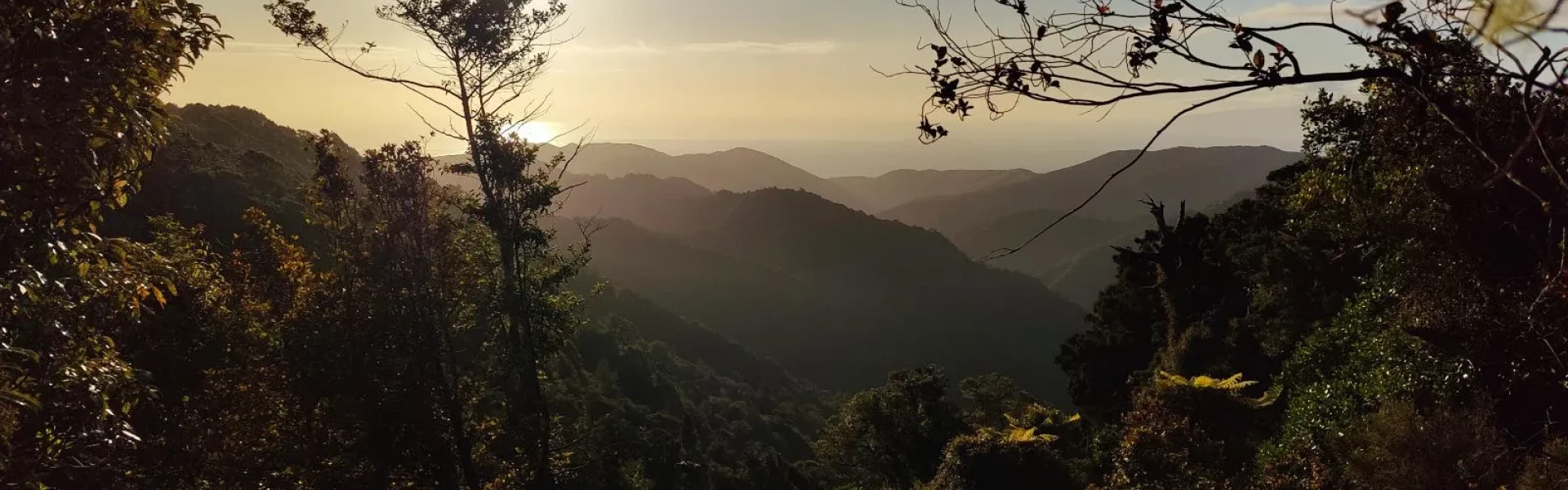
Aorangi Forest Park
Cross the Aorangi Range from Putangirua Pinnacles to Cape Palliser.
Distance
30 km
Walking time
2-3 days
Difficulty
Advanced
Dogs
Allowed — check local rules
Wheelchair access
Not marked friendly
Current status
Weather outlook
Issued 10 Oct 2026, 11:01 pm
11 October 2026
A few showers, possibly heavy, clearing to fine in the afternoon. Northeasterlies, turning northwesterly in the morning.
12 October 2026
Fine. Northwesterlies, dying out in the morning.
13 October 2026
Mainly fine, isolated showers developing in the afternoon. Northwesterlies.
14 October 2026
Partly cloudy with isolated showers. Northwesterlies.
15 October 2026
Rain developing. Northwesterlies, turning southwesterly.
Regional guidance only; elevation and terrain can produce different conditions.
Explore the area
Explore the track route and surrounding area before you set out.
Time: 4–5 hr Distance: 10 km Start on the Pinnacles Track about 10 min from the campsite carpark, then continue along an old, bulldozed track around and above the Pinnacles rock formations to the main bush edge. From there, follow the main ridge between the Huripi and Putangirua streams, turn sharply to the right along the Mt Surf ridge to a gradual spur down into the Makotukutuku (Washpool) valley, before dropping steeply to Washpool Hut. Washpool Hut (opens in browser) Standard hut 6 bunk beds heating non-flush toilets. water is from the stream Bookings not required – first come, first served
Time: 2 hr 30 min - 3 hr 30 min Distance: 4.7 km The track starts 100 m upstream from Washpool Hut, on the opposite bank. It climbs steadily over a high dividing ridge into the next valley and Pararaki Hut. Pararaki Hut (opens in browser) Standard hut 6 bunk beds heating non-flush toilets water is from the stream Bookings not required – first come, first served
Time: 2–3 hr Distance: 4.5 km Find the track 100 m downstream and on the opposite bank from Pararaki Hut. It climbs steadily into a low saddle, then sidles down the true left of Murphys Creek to the true right fork of the Kawakawa (Otakaha) Stream. From there it's an easy walk to Kawakawa Hut at the major confluence. Kawakawa Hut (opens in browser) Standard hut 6 bunk beds heating non-flush toilets water from tap – not treated, boil before use Bookings not required – first come, first served
Time: 2 hr 30 min - 3 hr 30 min Distance: 6.2 km The track starts in front of Kawakawa Hut and follows up the true left fork of the Kawakawa Stream. After 1 hour in the stream bed, it climbs steeply at first through a saddle and down into the true right-hand fork of the Mangatoetoe Stream. It meanders downstream to the hut. Mangatoetoe Hut (opens in browser) Standard hut 6 bunk beds heating non-flush toilets water from tap – not treated, boil before use Bookings not required – first come, first served
Time: 1 hr 30 min Distance: 4.5 km From the hut, follow an unmarked route down the true left of the Mangatoetoe Stream to Cape Palliser Road.
The track involves many stream crossings, which could become dangerous after heavy rain.
Washpool Hut (opens in browser) Standard hut 6 bunk beds heating non-flush toilets. water is from the stream Bookings not required – first come, first served Pararaki Hut (opens in browser) Standard hut 6 bunk beds heating non-flush toilets water is from the stream Bookings not required – first come, first served Kawakawa Hut (opens in browser) Standard hut 6 bunk beds heating non-flush toilets water from tap – not treated, boil before use Bookings not required – first come, first served Mangatoetoe Hut (opens in browser) Standard hut 6 bunk beds heating non-flush toilets water from tap – not treated, boil before use Bookings not required – first come, first served
The track starts 45 km south of Martinborough, at Putangirua Pinnacles Campsite. Follow Lake Ferry Road for about 32 km, then turn onto Cape Palliser Road and follow this for a further 14 km to the campsite. Use this link in Google Maps to find your way there.
We encourage you to continue gaining the skills and knowledge required for a safe trip. The NZ Mountain Safety Council has lots of free resources and information you can use. These can be accessed via www.mountainsafety.org.nz . We recommend trying these online learning tools: Trip Planning Tramping / field Skills Basic Navigation River Safety Additionally, check out the range of helpful videos available from the NZ Mountain Safety Council YouTube channel
Dogs allowed. Keep dog under control at all times.
Track information, access and weather can change. Confirm current alerts and land-manager information close to departure, tell someone your plans, and carry equipment appropriate for the route and conditions.