11 October 2026
Fine spells. Clouding over this evening with possible late drizzle. Northerlies.
Loading outdoor place details…
Tararua Forest Park
The Southern Crossing is one of the four classic tramps of the Tararua Range.
Distance
35.2 km
Walking time
3 days
Difficulty
Advanced
Dogs
Allowed — check local rules
Wheelchair access
Not marked friendly
Current status
Weather outlook
Issued 11 Oct 2026, 4:35 pm
11 October 2026
Fine spells. Clouding over this evening with possible late drizzle. Northerlies.
12 October 2026
Mostly cloudy with patchy drizzle, clearing to fine in the morning. Cloud returning in the evening. Light winds.
13 October 2026
Occasional rain. Northwesterlies developing in the morning.
14 October 2026
Occasional rain, becoming persistent about the ranges in the evening. Northwesterlies.
15 October 2026
Showers, some heavy. Westerlies, turning southerly in the evening.
Regional guidance only; elevation and terrain can produce different conditions.
Explore the area
Explore the track route and surrounding area before you set out.
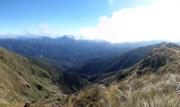
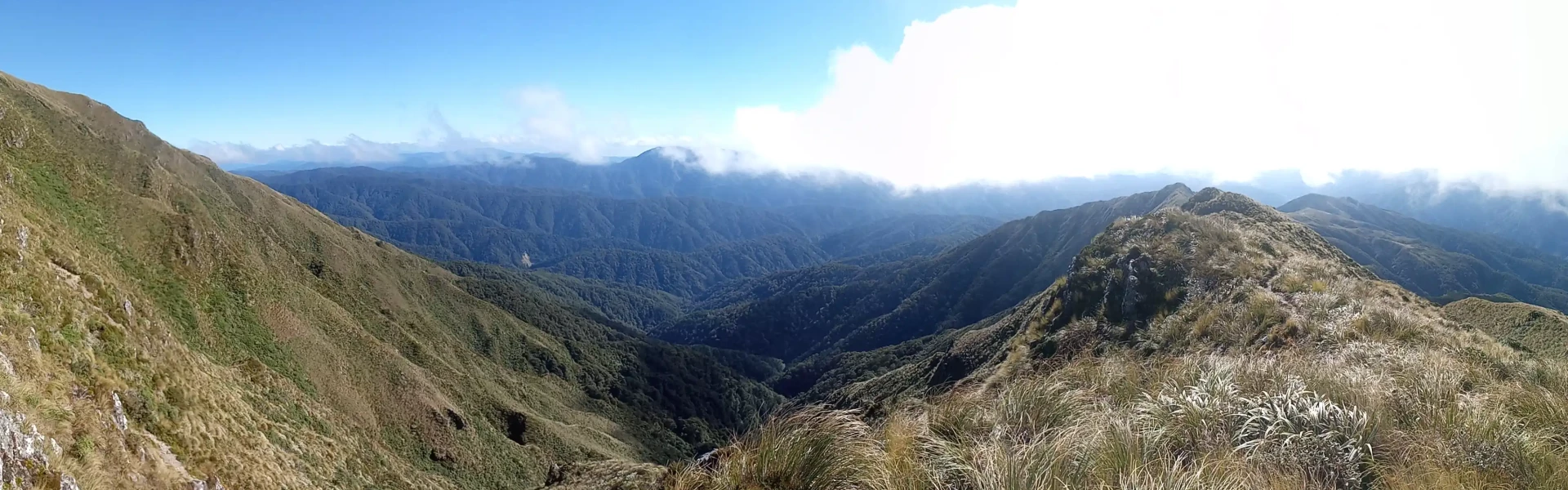
Time required: 3 days The crossing of the alpine tops section from Table Top to Mount Alpha (1361 m) involves about 6-8 hours of travel, with superb views to the south of Wellington Harbour, the Marlborough Sounds and the Kaikoura Mountains. On very clear days one can even spot Taranaki and Ruapehu. The highest point of the route, Mount Hector (1529 m), carries a large wooden cross erected in 1950 (and replaced in 1980) as a memorial to trampers who lost their lives in World War II. The track down from Alpha Hut to the Kaitoke carpark leads through the saddle of Hell’s Gate, over Omega, and through the stunted silver beech along the Marchant Ridge.
The route across the tops is recommended for experienced trampers only. Good navigation skills are required, as particularly in misty, cloudy, and windy conditions route finding can be difficult. Always carry a map and compass and know how to use them or ensure you have at least one experienced person in your party.
Most walkers stay overnight at Field and Alpha Huts, just below the bushline on the western and eastern sides of the alpine section of the crossing. Kime Hut , near Hut Mound, is an alpine refuge in bad weather, although it is very cold in winter because of the lack of heating. Bookings are not required for any of the huts.
Otaki Forks is 19 km inland from Otaki township – approx. 1½ hours drive from Wellington or Palmerston North. The easiest turn-off from State Highway 1 is at Otaki Gorge Road, just south of the State Highway 1 bridge over the Otaki River. Follow signs to Tararua Forest Park. The last 5 km of the Ōtaki Gorge Road is unsealed, narrow and windy – drive carefully. Use this location in Google Maps to find your way there. At the opposite end, the track ends on Kiwi Ranch Road, Kaitoke .
We encourage you to continue gaining the skills and knowledge required for a safe trip. The NZ Mountain Safety Council has lots of free resources and information you can use. These can be accessed via www.mountainsafety.org.nz . We recommend trying these online learning tools: Trip Planning Tramping / field Skills Basic Navigation River Safety Additionally, check out the range of helpful videos available from the NZ Mountain Safety Council YouTube channel .
The Southern Crossing is often plagued by bad weather and is especially exposed to cold southerlies, the cause of several fatalities over the years. Gale northwesterly winds are very likely along the Tararua Range. Winds frequently make walking the tops impossible, be very critical of this when departing your hut and as the day goes on. Substantial accumulations of rain are possible even on days when Wellington remains dry. Be wary of southerly wind changes which can bring rapidly deteriorating conditions.
Dogs allowed. Keep dog under control at all times.
Track information, access and weather can change. Confirm current alerts and land-manager information close to departure, tell someone your plans, and carry equipment appropriate for the route and conditions.