09 October 2026
Partly cloudy, with the chance of a shower about the ranges. Light winds, but easterlies about Golden Bay.
Loading outdoor place details…
Aorere Goldfields Conservation Area
Aorere Goldfields Track is a 3-hour loop, which gives you access to explore some of the more accessible gold-mining remnants.
Distance
5.49 km
Walking time
3 hr loop
Difficulty
Easy
Dogs
Not allowed
Wheelchair access
Not marked friendly
Current status
No active alerts found. Conditions can still change, so check again before leaving.
Weather outlook
Issued 9 Oct 2026, 4:49 pm
09 October 2026
Partly cloudy, with the chance of a shower about the ranges. Light winds, but easterlies about Golden Bay.
10 October 2026
Cloud increasing with showers developing in the morning, then becoming rain overnight. Easterlies easing in the morning, then northerlies in the evening.
11 October 2026
Showers becoming isolated with longer fine breaks in the afternoon. Northeasterlies, turning westerly in the afternoon.
12 October 2026
Mainly fine, but isolated showers in the afternoon. Light winds.
13 October 2026
Partly cloudy. Light winds.
Regional guidance only; elevation and terrain can produce different conditions.
Explore the area
Explore the track route and surrounding area before you set out.
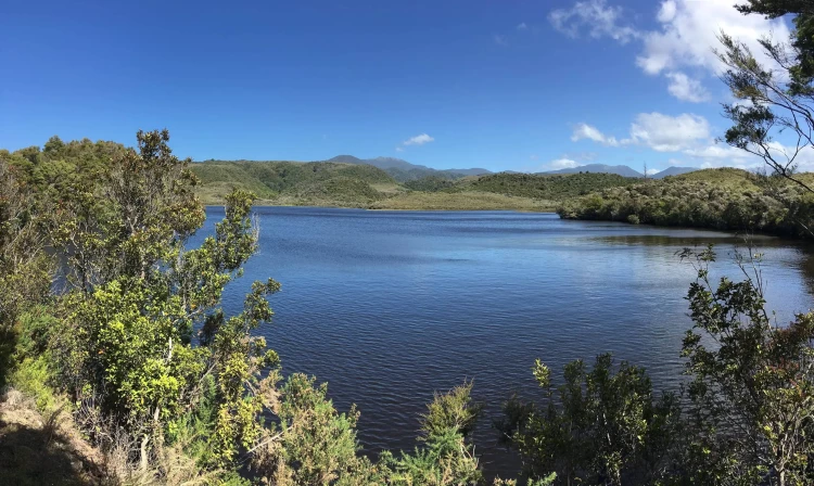
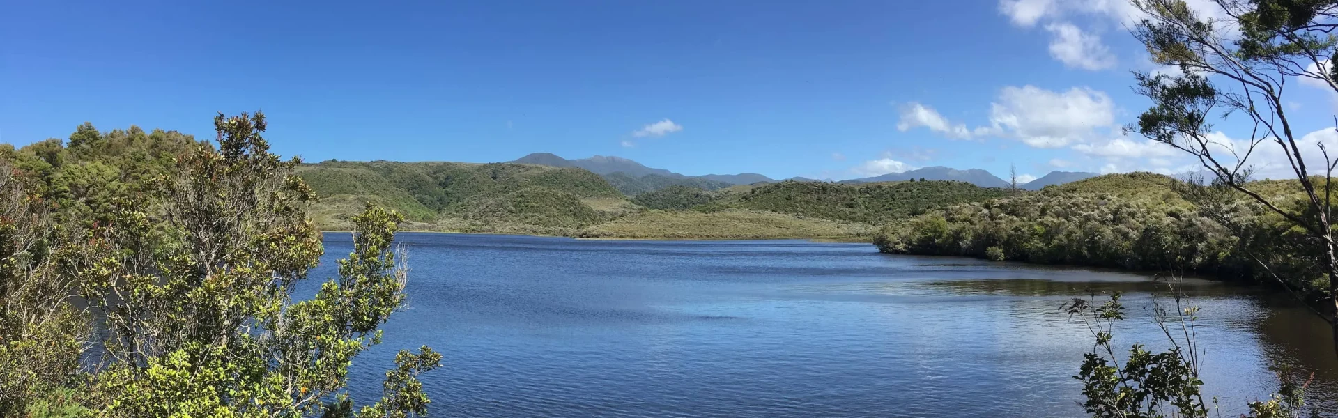
Starting at the Aorere Goldfields carpark, a 4WD track leads to an old ground-sluicing claim from the 1880s. Continuing along the track, you will come to a vast open area partly covered by pakihi vegetation, known as Druggan's Flat. The trail ascends steadily from this point, passing a side track that guides you through the pristine bush of Stanton's Creek. It then follows a portion of the original miners' track. At the first junction, proceed straight ahead. On the right, you will encounter the end of a water race and a tunnel before reaching the short side track leading to Stafford's Cave. Exploring Stafford's Cave and Ballroom Cave (accessible via short side tracks a little further on) is possible with appropriate clothing, a torch, and careful footing. The caves bear the names of early miners who inscribed them on the formations; take care to preserve these markings. Ballroom Cave is rumored to have been utilized by miners for dance events. Continuing on, it is a 20-30 minute trek to the dam. On a clear day, this section of the track offers stunning vistas of the Wakamarama and Burnett ranges, Ruataniwha Inlet, and north to Farewell Spit. Just before the dam, there is a tunnel cut through the rock that leads to an iron control gate. Please refrain from entering this tunnel. Upon reaching the reservoir, a suitable spot to rest or have lunch is on the left as you follow the track around the water's edge, passing the race intake control atop Druggan's Dam. The track then ascends around the reservoir. After another 20 minutes, you will reach a junction in the track. A few minutes' walk from there will lead you to a 4WD (or mountain bike) track. Turn right and follow it downhill back to the car park. Alternatively, from the track junction, you can take a short trail that links back to the initial junction, retracing the first segment of the track to return to the car park.
Much of the track is exposed, so ensure you have adequate sun protection, water and warm and wet weather gear. Footwear with adequate grip is required.
From Collingwood, head inland through the Aorere Valley. After 7 kilometres, turn off the main road at Rockville where you'll see signs to Aorere Goldfields and Devil's Boots. After passing Devil's Boots, continue along the road, which becomes a rough farm track, for another 2 kilometres until you reach the Aorere Goldfields car park. Use this location in Google Maps to find your way there.
We encourage you to continue gaining the skills and knowledge required for a safe trip. The NZ Mountain Safety Council has lots of free resources and information you can use. These can be accessed via www.mountainsafety.org.nz . We recommend trying these online learning tools: Trip Planning Tramping / field Skills Basic Navigation River Safety Additionally, check out the range of helpful videos available from the NZ Mountain Safety Council YouTube channel .
No dogs.
Track information, access and weather can change. Confirm current alerts and land-manager information close to departure, tell someone your plans, and carry equipment appropriate for the route and conditions.