8 October 2026
Partly cloudy.
Loading outdoor place details…
Skippers area
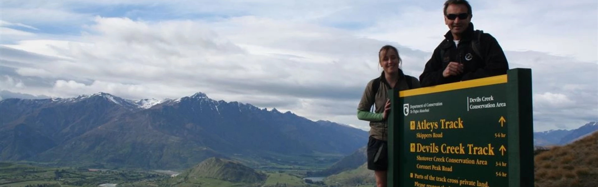
You can see many historic gold mining features from Atleys Track and there are superb views from the summit of Mt Dewar.
Distance
18 km
Walking time
5 - 6 hr
Difficulty
Advanced
Dogs
Not allowed
Wheelchair access
Not marked friendly
Current status
Weather outlook
Issued 8 Oct 2026, 7:33 am
8 October 2026
Partly cloudy.
9 October 2026
Cloud about the terrain lifting in the morning, then returning in the evening. Isolated afternoon and evening showers.
10 October 2026
Partly cloudy. A few showers developing in the afternoon, frequent about the northwest ranges.
11 October 2026
Partly cloudy.
12 October 2026
Fine.
Regional guidance only; elevation and terrain can produce different conditions.
Explore the area
Explore the track route and surrounding area before you set out.
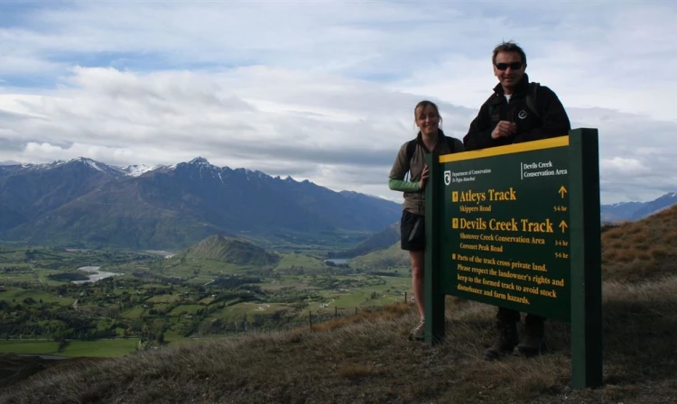
Away from the traditional tracks in the Queenstown area is a hidden hiking gem close to Coronet Peak. After crossing a stile to access the trail, follow a simple 4WD track to the summit, which is a bit of a steep slog in places, but you'll soon be rewarded with panoramic views over the Wakatipu basin and into Skippers Canyon. There are a number of radio masts at the summit but if you carefully walk around these to the other side keep an eye out for a small cross and grave, rumoured to be that of a beloved local dog. (If you go in Spring, the grave is covered in beautiful daffodils). To continue down to Atleys Terrace Hut, continue along Devils Creek Track for another 300m to the well-signposted junction and continue straight ahead along the ridgeline. Soon afterwards you'll start descending steadily down towards the Shotover River, eventually arriving at Atleys Terrace Hut, which is roughly halfway. Leaving the hut you’ll be following the Shotover River from above for the next 2km. And the track changes to single trail. There are a couple of tricky bits where the track has washed away, but the track is still easy to navigate. Eventually the track diverts away from the river before arriving at Skippers Road. From here, head up the road back to Skippers Saddle, or arrange for someone to pick you up from here.
It is possible to stay overnight at Atleys Terrace Hut which is a small, not-so-glamourous historic hut. It has two bunks, and also plenty of space to set up a tent.
The best place to start is from Skippers Saddle. From Queenstown or Arrowtown, head to Arthurs Point and then turn up Coronet Peak Road. About 4.7km up the road, turn left onto Skippers Road, and then follow this around the corner to the Skippers Saddle carpark. Use this location in google maps to find your way there. Alternatively, you can also start further down Skippers Road, however there is less space available to park a car.
We encourage you to continue gaining the skills and knowledge required for a safe trip. The NZ Mountain Safety Council has lots of free resources and information you can use. These can be accessed via www.mountainsafety.org.nz . We recommend trying these online learning tools: Trip Planning Tramping / field Skills Basic Navigation River Safety Additionally, check out the range of helpful videos available from the NZ Mountain Safety Council YouTube channel .
No dogs.
Track information, access and weather can change. Confirm current alerts and land-manager information close to departure, tell someone your plans, and carry equipment appropriate for the route and conditions.