10 October 2026
Cloudy, then showers from afternoon, possibly heavy and thundery with hail.
Loading outdoor place details…
Arthur's Pass National Park
This route makes a good weekend trip, all against a backdrop of some of the best features of Arthur’s Pass National Park – glaciers, mountain peaks and ice-fed rivers. Crow Hut is at the bush edge in an alpine meadow.
Distance
19.3 km
Walking time
2 days
Difficulty
Expert
Dogs
Not allowed
Wheelchair access
Not marked friendly
Current status
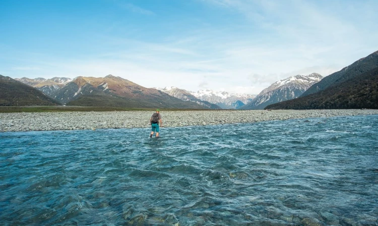
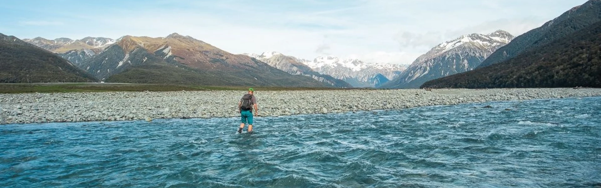
The track to Carrington Hut has been cut off by the Waimakariri River 2 km upstream from Anti Crow Hut. It is still marked on the topographic maps but is now impassable. You will need to cross the Waimakariri River at least two times before rejoining the track. This river crossing is always difficult. Be prepared to turn back.
Weather outlook
Issued 10 Oct 2026, 7:33 am
10 October 2026
Cloudy, then showers from afternoon, possibly heavy and thundery with hail.
11 October 2026
A few showers, mainly in the west, clearing in the evening. Snow to 2000 metres at first.
12 October 2026
Fine.
13 October 2026
Showers.
14 October 2026
Heavy rain easing.
Regional guidance only; elevation and terrain can produce different conditions.
Explore the area
Explore the track route and surrounding area before you set out.
Time: 3–4 hours one way Two tracks lead to Avalanche Peak : Avalanche Peak Track is steeper and more direct. It starts not far from the DOC Visitor Centre. Scotts Track climbs more gradually, offers better views, and is easier on the knees. It starts at the Devil's Punchbowl carpark. Both are marked to the summit.
Time: 1 hour The ridge from Avalanche Peak summit is narrow and rocky, so the unmarked route often sidles below it. To reach the main ridge behind Avalanche Peak, take the unexpected opposite direction from the summit. Descend the south side onto the top of a shingle scree. (Note: On the ascent from the village, south is on your left, with Mount Rolleston to the north.) From the scree, head northwest under the main peak to a saddle between Avalanche Peak and the Rolleston ridge. From there, sidle along the eastern (village) side of the ridge, descending to the main ridge toward Mount Rolleston. Follow this ridge for about 30 minutes to a marked point indicating the descent into Crow Valley. Warning: If traveling in reverse, do not attempt to shortcut into the upper basins of McGrath Creek. These basins end in bluffs (cliffs) and are not a viable route.
Time: 1 hour 30 minutes The route leaves the ridge, descending a scree slope that leads directly to the Crow River. Warning: It is crucial to find the correct descent point. Do not attempt to descend before the marked point, as earlier screes end in bluffs. Check these four features to confirm you are at the right spot: The point is marked with stakes and a rock cairn. You can see the full length of the scree from the ridge to the Crow Valley. The entire drop of Devils Punchbowl Falls is visible on the opposite slope. Just beyond the descent point, the ridge steepens toward Mount Rolleston. This scree provides a safe, bluff-free descent but is avalanche-prone in heavy snow. Take care not to dislodge loose rocks onto others below and be cautious of rockfall. Towards the bottom, the scree narrows before fanning out. From here, Crow Hut is visible on the true right bank of Crow River. Follow the riverbed downstream for about 20 minutes to reach the hut. If the river is high, look for a crossing as far upstream as possible. The 10-bunk Crow Hut sits in a clearing on a terrace at the bush edge. The Crow face of Mount Rolleston at the head of the valley is a popular winter climbing route.
Time: 4 hours one way From Crow Hut, follow the true right bank of Crow River, alternating between easy riverbank travel and marked bush sections where the river runs close to the bank. About 15 minutes downstream, cross an active rockfall area quickly but cautiously. Cross Crow River where it widens before meeting the Waimakariri River. Then, take a marked track through a beech forest to the grassy Waimakariri flats. If Crow River is not easily crossed, continue downstream to its junction with the Waimakariri. There is no track here, but crossing may be possible where the river widens. Beyond Crow River, the terrain alternates between grassy flats and shingle riverbed. As the Waimakariri flows against steep bluffs, you must cross and then re-cross the river to reach the road end into Waimakariri Valley. A short gravel road leads to Klondyke Corner. If the second river crossing is difficult, an alternative route follows the scrub-covered fan (Turkey Flat) opposite the Crow confluence. This connects to a marked track that climbs above the river and descends to the road bridge at Bealey on SH73. Warning: If the Waimakariri River is high or in flood, wait for safe conditions before attempting a crossing.
This route is extremely steep in places and exposed to the weather. It is not continuously marked so you need to be able to find your own way and therefore is only suitable for people with high level backcountry (remote areas) skills and experience. Navigation and survival skills as well as complete self-sufficiency required. Do not attempt the route in poor visibility or high winds. In winter and spring (July to November) the route over Avalanche Peak is avalanche prone. Do not travel this route during heavy snow conditions. Before setting out, check the latest track conditions and avalanche advisory with the Arthur's Pass Visitor Centre.
The trip starts from Arthur's Pass village on SH73, 150 km from Christchurch. It finishes at Klondyke Corner 8 km south of Arthur’s Pass village. You can leave a car here, or catch a shuttle bus - services run between Christchurch and Greymouth.
We encourage you to continue gaining the skills and knowledge required for a safe trip. The NZ Mountain Safety Council has lots of free resources and information you can use. These can be accessed via www.mountainsafety.org.nz . We recommend trying these online learning tools: Trip Planning Tramping / field Skills Basic Navigation River Safety Additionally, check out the range of helpful videos available from the NZ Mountain Safety Council YouTube channel
No dogs.
Track information, access and weather can change. Confirm current alerts and land-manager information close to departure, tell someone your plans, and carry equipment appropriate for the route and conditions.