11 October 2026
Showers, becoming few and far between in the afternoon, then clearing to fine in the evening.
Loading outdoor place details…
Arthur's Pass National Park
This track ends at the Bealey River, the track is subject to avalanche hazard in winter past this point.
Distance
4 km
Walking time
50 mins return
Difficulty
Easy
Dogs
Not allowed
Wheelchair access
Not marked friendly
Current status
No active alerts found. Conditions can still change, so check again before leaving.
Weather outlook
Issued 10 Oct 2026, 9:23 pm
11 October 2026
Showers, becoming few and far between in the afternoon, then clearing to fine in the evening.
12 October 2026
Fine.
13 October 2026
A few showers developing.
14 October 2026
Rain, with heavy falls. Snow lowering to 2200 metres.
15 October 2026
A few showers, some possibly heavy, with snow to 700 metres.
Regional guidance only; elevation and terrain can produce different conditions.
Explore the area
Explore the track route and surrounding area before you set out.
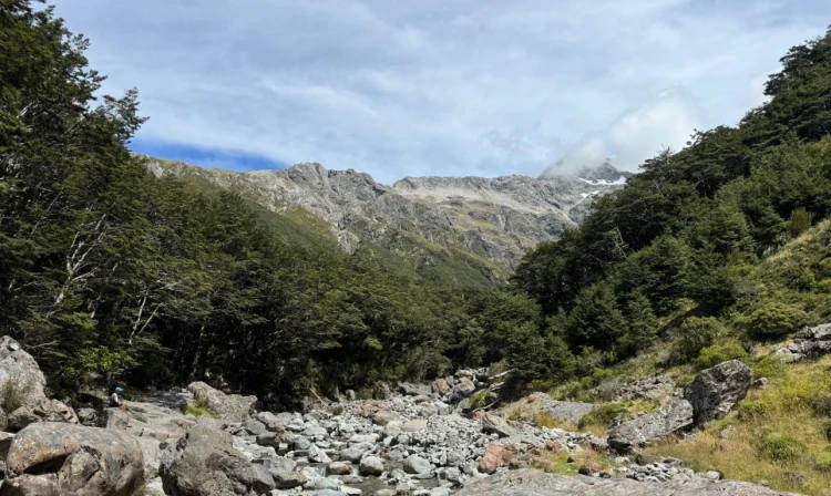
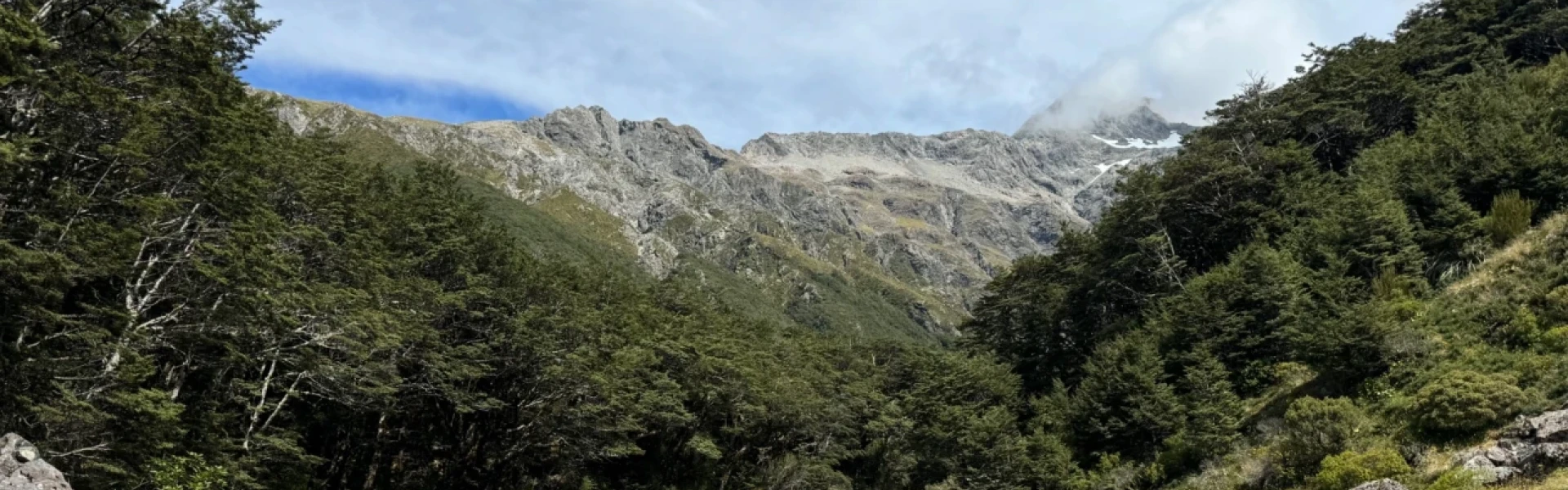
Time: 5 min to Bealey Chasm or 25 min to track end (both times one way). Set out north on the Arthur’s Pass Walking Track from State Highway 73 at the car park opposite the green Jacks Hut. The track is mostly level and relaxing as it winds through a mossy beech forest. After about 175 m, reach a marked junction and turn left onto the Bealey Valley Track to descend toward the river. The track drops gently down a series of steps to a wooden boardwalk, then levels out as it continues through beech trees. Further on, more stairs lead to the bridge crossing Bealey Chasm, where the river cascades over huge boulders through a narrow rocky channel. Beyond the bridge, the track continues for about 900 m through the forest to a viewpoint with stunning views of Mt Rolleston. The track ends at the Bealey River, which is subject to avalanche hazard in winter. Pay close attention to the warning sign at the end of the track, as avalanches have been known to reach this point. The walk starts from the car park opposite Jacks Hut in Arthurs Pass Village on SH 73, about 150 km from Christchurch. Use this location on Google Maps to help find your way there.
No dogs.
Track information, access and weather can change. Confirm current alerts and land-manager information close to departure, tell someone your plans, and carry equipment appropriate for the route and conditions.