9 October 2026
Partly cloudy. Isolated afternoon and evening showers.
Loading outdoor place details…
Paparoa National Park
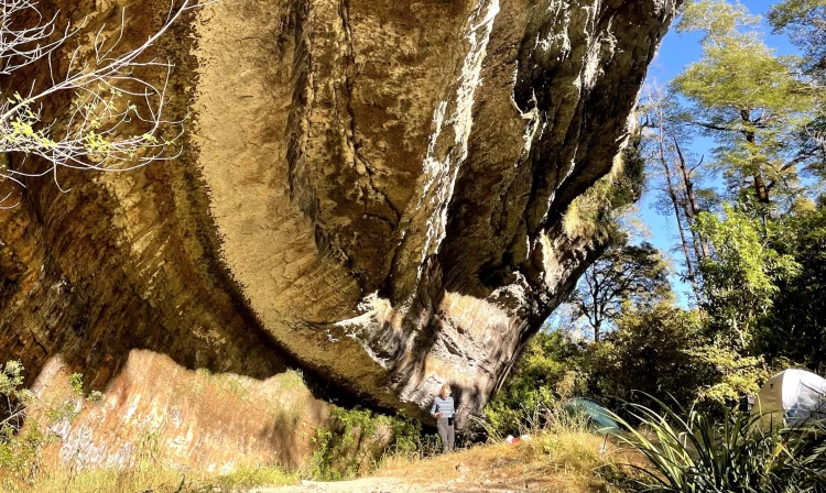
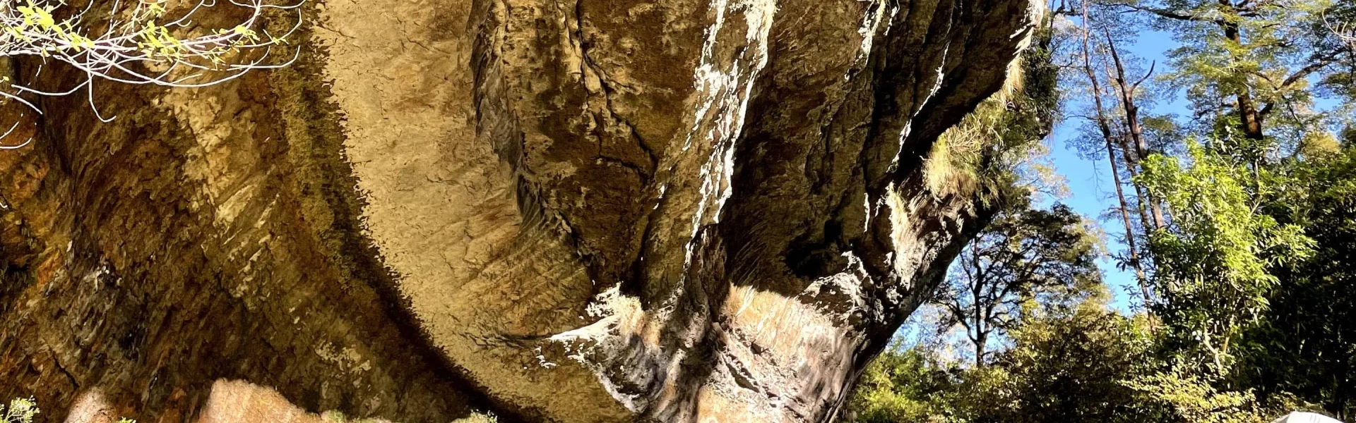
Experience some of the Paparoa National Park's finest limestone features, including a large limestone outcrop.
Distance
12 km
Walking time
4 hr return
Difficulty
Advanced, Expert
Dogs
Not allowed
Wheelchair access
Not marked friendly
Current status
Weather outlook
Issued 8 Oct 2026, 9:24 pm
9 October 2026
Partly cloudy. Isolated afternoon and evening showers.
10 October 2026
Partly cloudy. A few showers in the afternoon and evening.
11 October 2026
Fine apart from isolated showers.
12 October 2026
Fine.
13 October 2026
Mostly cloudy with isolated showers.
Regional guidance only; elevation and terrain can produce different conditions.
Explore the area
Explore the track route and surrounding area before you set out.
The Ballroom Overhang is accessed via the Inland Pack Track from the car park at the mouth of the Fox River. The track begins on the true right of the river, passing through bush and braided riverbed sections. After about 30 minutes, a river crossing is required to rejoin the track on the true left. Note that the first crossing is not always the deepest - the crossing at the junction of Fox River and Dilemma Creek can be deeper. On the true left, the track continues for 2 km through the gorge, climbing and dropping to negotiate bluffs. About 40 minutes from the car park, a 60 m section of track is badly damaged; follow the marked diversion. The formed track ends at the confluence of Fox River and Dilemma Creek. From here, the route involves 500 m of riverbed travel and crossings to reach the Ballroom Overhang Campsite on the true left of Fox River.
This is a challenging tramping track, recommended for experienced trampers only. It requires navigation and river crossing skills. The track is steep, rough and unformed in places. It follows the riverbed at times and has many river crossings. Avoid this track during and after heavy rain, and when rain is forecast , as the Fox River may be flooded and unsafe to cross. Some river crossings could be fairly deep and strong currents and small rapids might form in narrow sections. Sturdy footwear is advised. Boardwalks, steps and tree roots that can be slippery in wet weather. No dogs are allowed This is a limestone (kaarst) area, which means sinkholes, chasms and flash flooding are common. These sinkholes and chasms are not marked and can be hard to see. Stay on the track to avoid them. Beware of ongaonga (stinging nettle). It is especially common in limestone areas and the sting is painful.
From Punakaiki, head northeast on State Hwy 6 for 12km. The parking area is immediately after crossing Fox River. Use this location on Google Maps to help find your way there.
We encourage you to continue gaining the skills and knowledge required for a safe trip. The NZ Mountain Safety Council has lots of free resources and information you can use. These can be accessed via www.mountainsafety.org.nz . We recommend trying these online learning tools: Trip Planning Tramping / field Skills Basic Navigation River Safety Additionally, check out the range of helpful videos available from the NZ Mountain Safety Council YouTube channel
No dogs.
Track information, access and weather can change. Confirm current alerts and land-manager information close to departure, tell someone your plans, and carry equipment appropriate for the route and conditions.