11 October 2026
Showers, clearing early afternoon but remaining mostly cloudy. Possible evening drizzle north of Wellington Harbour. Northerlies.
Loading outdoor place details…
Hutt Valley
Pack your camera and enjoy this half-day scenic walk through mature native forest.
Distance
9.7 km
Walking time
4 hr return
Difficulty
Easy
Dogs
On-lead only
Wheelchair access
Not marked friendly
Current status
No active alerts found. Conditions can still change, so check again before leaving.
Weather outlook
Issued 11 Oct 2026, 11:03 am
11 October 2026
Showers, clearing early afternoon but remaining mostly cloudy. Possible evening drizzle north of Wellington Harbour. Northerlies.
12 October 2026
Cloud clearing and becoming fine in the morning. Northerlies.
13 October 2026
A few showers. Northerlies.
14 October 2026
Rain becoming persistent in the evening. Northwesterlies, becoming strong in the evening.
15 October 2026
Showers, easing for a time. Northwesterlies, turning southerly in the evening.
Regional guidance only; elevation and terrain can produce different conditions.
Explore the area
Explore the track route and surrounding area before you set out.
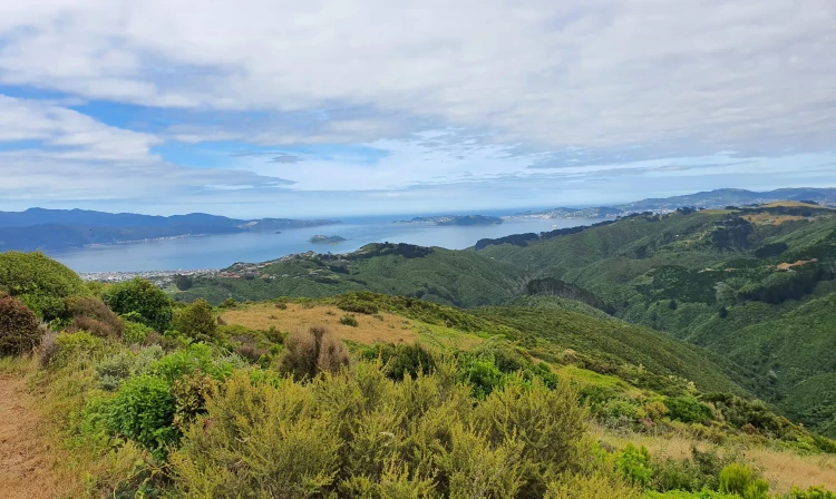
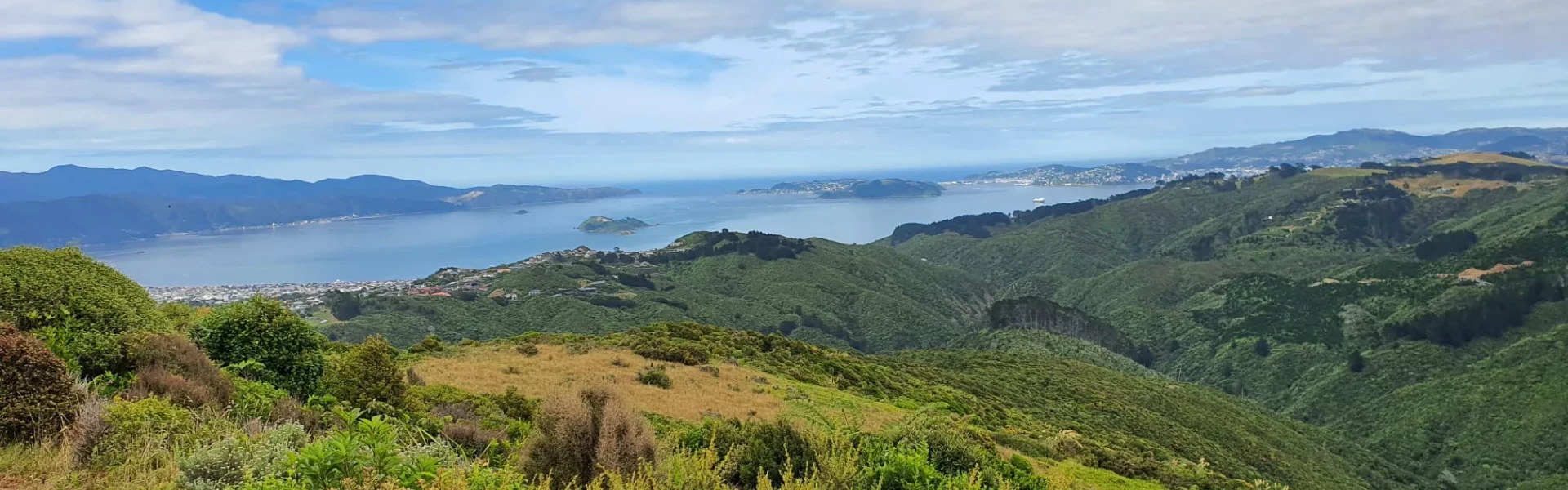
Get a little taste of backcountry life on this spectacular trail surrounded by native forest and birdlife. The trail descends to the Korokoro Dam then follows the stream down to Baked Beans Bend. From there, follow the Puke Ariki Trail uphill through beautiful bush to the Belmont Trig. You’ll be rewarded with 360-degree views from the Tararua Ranges all the way to the Kaikōura Ranges. Next, continue eastwards down the 4WD track through farmland and then turn right into the forest before getting to the bottom to return to Oakleigh Street. Along the way you'll walk through stunning native bush including Tawa, Kahikatea and Rimu. Pick a clear day and pack a picnic, plenty of water and your camera and enjoy the sights and sounds of Wellington’s premier native bush. This trail is often used by bikers, but walking is permitted. It is not suitable for mountain buggies. Alternative tracks For a shorter, but more direct walk to Belmont Trig, start further north at Stratton Street, using the 4WD track up and back. This is 4.7km return, and takes approximately 2 hours.
The trail starts and finishes at the Oakleigh Street entrance to Belmont Regional Park. There are regular bus and train services to Lower Hutt and the surrounding area. Use this location in Google Maps to find your way there.
We encourage you to continue gaining the skills and knowledge required for a safe trip. The NZ Mountain Safety Council has lots of free resources and information you can use. These can be accessed via www.mountainsafety.org.nz . We recommend trying these online learning tools: Trip Planning Tramping / field Skills Basic Navigation River Safety Additionally, check out the range of helpful videos available from the NZ Mountain Safety Council YouTube channel .
Yes (on lead)
Track information, access and weather can change. Confirm current alerts and land-manager information close to departure, tell someone your plans, and carry equipment appropriate for the route and conditions.