11 October 2026
Fine spells, with the odd shower about the Hutt Valley. Northerlies.
12° / 17°
Loading outdoor place details…
Rangituhi/Colonial Knob Scenic Reserve
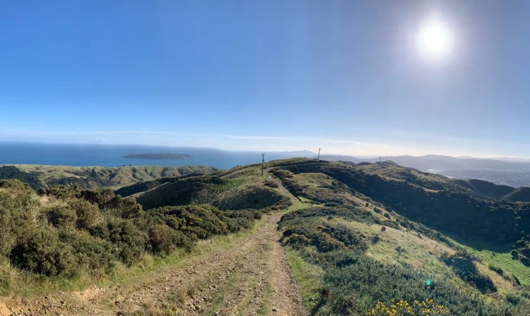
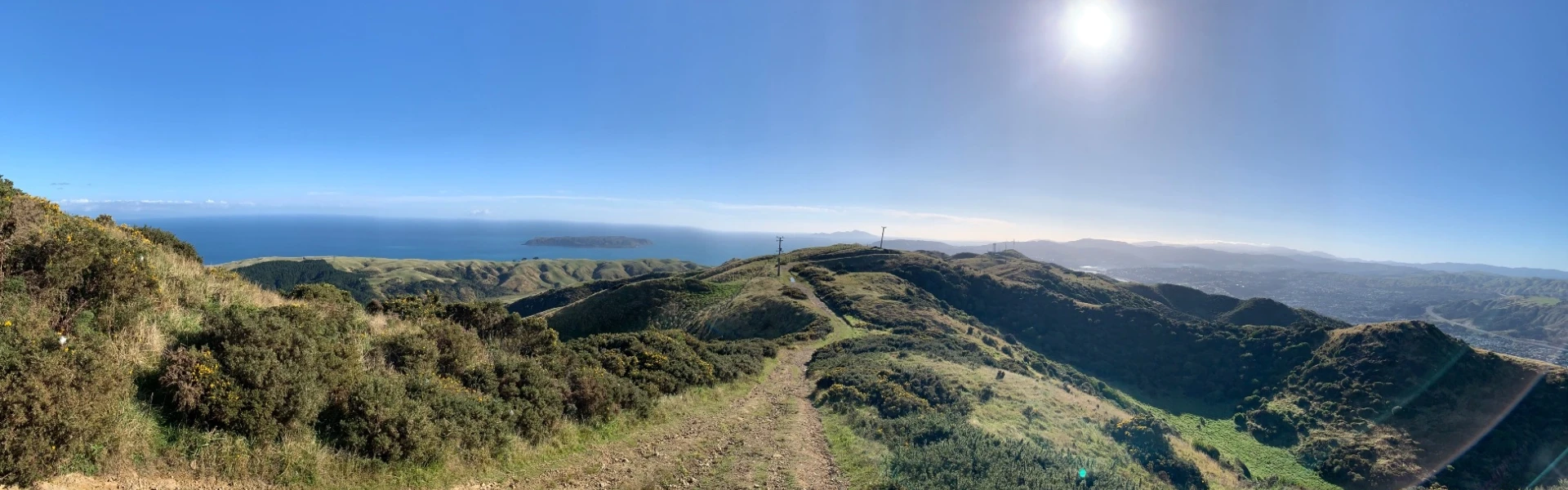
Climb to the summit of this 468 m peak for views on clear day from the Inland Kaikoura Range in the south to Mt Taranaki in the north-west - it's a good option for older children. This track is part of Te Araroa Trail.
Distance
6.75 km
Walking time
3-5 hr return
Difficulty
Easy
Dogs
Not allowed
Wheelchair access
Not marked friendly
Current status
No active alerts found. Conditions can still change, so check again before leaving.
Weather outlook
Issued 11 Oct 2026, 6:22 pm
11 October 2026
Fine spells, with the odd shower about the Hutt Valley. Northerlies.
12° / 17°
12 October 2026
Mostly cloudy with possible drizzle north of Wellington Harbour, clearing to fine in the morning. Cloud returning in the evening. Northerlies.
12° / 18°
13 October 2026
A few showers. Northerlies.
13° / 17°
14 October 2026
Rain becoming persistent in the evening. Northwesterlies, becoming strong in the evening.
11° / 17°
15 October 2026
Showers, easing for a time in the morning. Northwesterlies, turning southerly in the evening.
7° / 15°
Regional guidance only; elevation and terrain can produce different conditions.
Explore the area
Explore the track route and surrounding area before you set out.
Time required : 3-5 hr return There are three routes up to Rangituhi/Colonial Knob, offering a loop walk taking from three to five hours. One starts at the Broken Hill Road carpark (at Spicer Botanical Park). This is the more scenic route taking you into the Rangituhi/Colonial Knob Scenic Reserve, past the man-made lakes which once supplied water to Porirua Hospital, and through kohekohe forest. You can also get up from Raiha Street through the Porirua Scenic Reserve, and from Raiha Street up the gravel farm road to the radio station.
The track passes through private farmland in places, keep to the marked route. Weather on the summit can quickly change. Have warm clothes, food, water and good walking shoes.
The track starts at the Broken Hill Road carpark at Spicer Botanical Park, or from Raiha Street in Porirua. Use this location in Google Maps to find your way there.
We encourage you to continue gaining the skills and knowledge required for a safe trip. The NZ Mountain Safety Council has lots of free resources and information you can use. These can be accessed via www.mountainsafety.org.nz . We recommend trying these online learning tools: Trip Planning Tramping / field Skills Basic Navigation River Safety Additionally, check out the range of helpful videos available from the NZ Mountain Safety Council YouTube channel .
No dogs.
Track information, access and weather can change. Confirm current alerts and land-manager information close to departure, tell someone your plans, and carry equipment appropriate for the route and conditions.