
11 October 2026
Showers about the Divide, clearing in the evening, otherwise fine.
Loading outdoor place details…
Selwyn District
This accessible circuit takes you through tussock-covered farmland to the cosy Benmore Hut for the night.
Distance
16.85 km
Walking time
4-6 hours
Difficulty
Intermediate
Dogs
Not allowed
Wheelchair access
Not marked friendly
Current status
Weather outlook
Issued 11 Oct 2026, 7:33 am
11 October 2026
Showers about the Divide, clearing in the evening, otherwise fine.
12 October 2026
Fine.
13 October 2026
Partly cloudy with isolated showers.
14 October 2026
Heavy rain easing.
15 October 2026
A period of rain with snow to 700 metres, otherwise isolated showers.
Regional guidance only; elevation and terrain can produce different conditions.
Explore the area
Explore the track route and surrounding area before you set out.
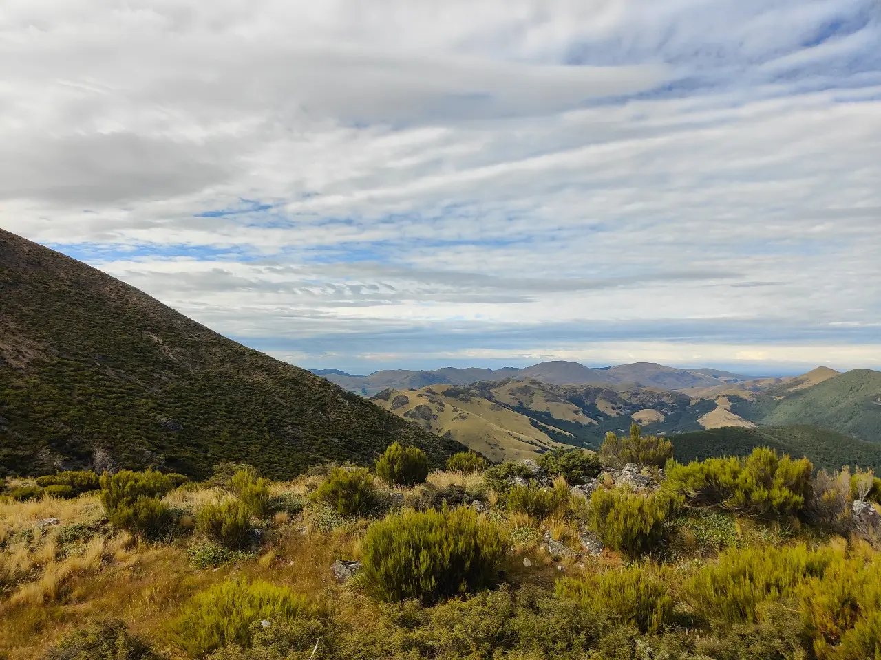
From the car park, the Benmore Track follows an easement through Benmore Station. Keep to the markers and leave gates as you find them. This section follows a 4WD track beside Thirteen Mile Bush Stream before reaching public conservation land. At around 2.3 km the track crosses the stream, so be prepared for wet feet. Half a kilometre further on, a sign offers two options: continue on the Benmore Track along Thirteen Mile Bush Stream to Benmore Hut (3.2 km), or turn left onto the Annavale Track towards Sugarloaf, marked as Pt1203 on the topo map and the highest point on the Russell Range. The Annavale Track crosses a fence and leaves the stream, climbing open tussock-covered hillsides on a 4WD track. The ascent is steep in places but well contoured, gaining 600 m of elevation with excellent views over the Canterbury Plains. After about two hours the Annavale/Benmore Link Track is reached. This track is not shown on topo maps and descends the western spur of the Russell Range towards Pt915 and Benmore Hut. From the junction, it is worth continuing the climb to Sugarloaf for panoramic views of the Torlesse and Big Ben ranges. This is a 60 minute return trip. Back at the Link Track, turn west and descend a spur through tussock before entering beech forest. The narrow trail has some steep sections before emerging, 1.6 km later, at the orange NZ Deerstalkers Association’s Benmore Hut. To complete the circuit, follow the Benmore Track, which is well marked through the bush, to the Thirteen Mile Bush Stream flats. The track undulates gently before a short, steep zigzag leads down to the river flats, where it rejoins the 4WD track back to the car park.
Access through Benmore Station to Thirteen Mile Bush is closed June–July. Leave gates as found. No dogs.
Benmore Hut
Approximately 12km west of Springfield, off Benmore Road, off West Coast Road. Use this location in Google Maps to find your way there.
We encourage you to continue gaining the skills and knowledge required for a safe trip. The NZ Mountain Safety Council has lots of free resources and information you can use. These can be accessed via www.mountainsafety.org.nz . Level up in your outdoor knowledge with these interactive online learning tools: Trip Planning Tramping / field Skills Basic Navigation River Safety Additionally, check out the range of helpful videos available from the NZ Mountain Safety Council YouTube channel .
No dogs.
Track information, access and weather can change. Confirm current alerts and land-manager information close to departure, tell someone your plans, and carry equipment appropriate for the route and conditions.