11 October 2026
Showers about the Divide, clearing in the evening, otherwise fine.
Loading outdoor place details…
Hakatere Conservation Park
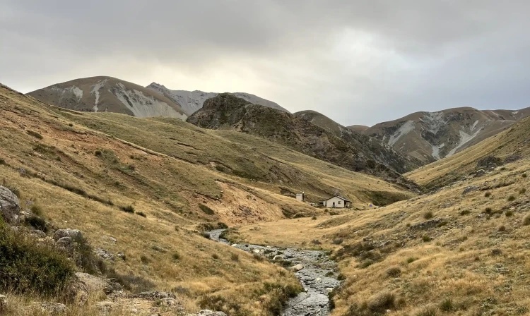
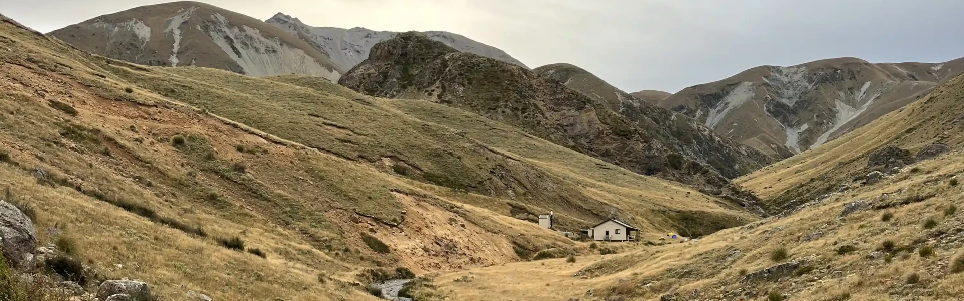
Mount Somers Track links the popular Pinnacles and Woolshed Creek huts. There are impressive rock formations, historic mines and stunning views.
Distance
17.1 km
Walking time
2 days
Difficulty
Intermediate
Dogs
Not allowed
Wheelchair access
Not marked friendly
Current status
No active alerts found. Conditions can still change, so check again before leaving.
Weather outlook
Issued 11 Oct 2026, 7:33 am
11 October 2026
Showers about the Divide, clearing in the evening, otherwise fine.
12 October 2026
Fine.
13 October 2026
Isolated showers, becoming widespread in the evening.
14 October 2026
Heavy rain easing.
15 October 2026
A period of rain with snow to 700 metres, otherwise isolated showers.
Regional guidance only; elevation and terrain can produce different conditions.
Explore the area
Explore the track route and surrounding area before you set out.
Time required: 2 days Mt Somers Track runs from the Sharplin Falls carpark to the Woolshed Creek carpark along the northern side of Mt Somers. There are two huts on the track – Woolshed Creek and Pinnacles Huts. The track can be walked in either direction. Walking options For an easy overnight tramp suitable for children, do the return walk to Woolshed Creek Hut. The track from Sharplin Falls Carpark into Pinnacles Hut is more physically demanding but is still suited for family or school groups. For a circuit trip to Woolshed Creek Hut, walk in on the Miners Track and out via Rhyolite Ridge Track. For a more challenging circuit, walk from Sharplin Falls carpark to Woolshed Creek Hut and return via the southern face of Mt Somers.
The Mt Somers area is an alpine environment and adverse weather can occur at any time of the year. Ensure you are well equipped and always check the latest information about facilities, tracks and local weather conditions. Wasps may be present in high numbers, particularly during summer. Consider carrying an antihistamine product and if you are allergic to stings, ensure you bring your medication. Use NZTopo50 map sheets BX19 and BX20.
Pinnacles Hut Woolshed Creek Hut Bookings are required for both huts. The track is a two-day tramp suitable for families.
There are two options to start from: Sharplin Falls carpark, which is at the end of Flynns Road, Staveley. From Staveley, follow Boyds Road for approx. 450 m, then turn right onto Flynns Road. Use this location in Google Maps to find your way there. Woolshed Creek carpark, which is on Jig Road. From Mount Somers township, follow Ashburton Gorge Road for approximately 10 km before turning right into Jig Road. Follow Jig Road to the end. Use this location in Google Maps to find your way there. If you intend to walk only one way from Woolshed Creek car park and require vehicle transport, a local service is available - phone Marilyn Gray on +64 3 303 0809 before you start your trip.
We encourage you to continue gaining the skills and knowledge required for a safe trip. The NZ Mountain Safety Council has lots of free resources and information you can use. These can be accessed via www.mountainsafety.org.nz . We recommend trying these online learning tools: Trip Planning Tramping / field Skills Basic Navigation River Safety Additionally, check out the range of helpful videos available from the NZ Mountain Safety Council YouTube channel .
North-westerly winds can be very strong. Southerly wind changes can bring rapidly deteriorating conditions with snow possible at any time of year.
No dogs.
Track information, access and weather can change. Confirm current alerts and land-manager information close to departure, tell someone your plans, and carry equipment appropriate for the route and conditions.