11 October 2026
Areas of early low cloud otherwise fine. Isolated afternoon showers, mainly about the foothills. Northeasterlies, then northwesterly from afternoon but light winds south of Rakaia River then becoming southerly there at night.
Loading outdoor place details…
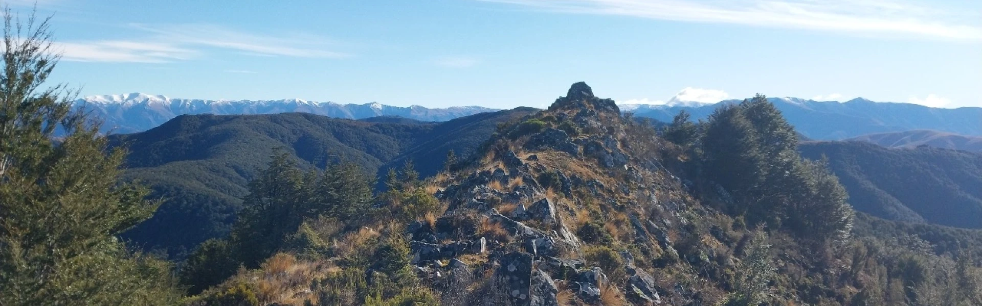
Mount Thomas Forest Conservation Area
Visit a cute bivvy with an unusual curved roof.
Distance
20.73 km
Walking time
5 hr one way
Difficulty
Expert
Dogs
On-lead only
Wheelchair access
Not marked friendly
Current status
Weather outlook
Issued 10 Oct 2026, 11:01 pm
11 October 2026
Areas of early low cloud otherwise fine. Isolated afternoon showers, mainly about the foothills. Northeasterlies, then northwesterly from afternoon but light winds south of Rakaia River then becoming southerly there at night.
12 October 2026
Fine. Northeasterlies developing for a time in the afternoon and evening.
13 October 2026
Fine. Northwesterlies.
14 October 2026
Rain, easing in the evening. Light winds.
15 October 2026
Rain developing. Southerlies developing.
Regional guidance only; elevation and terrain can produce different conditions.
Explore the area
Explore the track route and surrounding area before you set out.
This route begins at the junction of the Ridge Track and the Bob’s Camp Bivouac Track which can be reached from the Mt Thomas Conservation Area carpark and then ascending via the Wooded Gully or Ridge Walking Tracks. Once at the top of the ridge line you will walk along it in the opposite direction to the Mt Thomas summit until the sign that signals the start of the Bob’s Camp Bivouac Route. From here the track is approx. 4.5km long and ends at the 2-berth bivvy dating back to 1983. The ridge line undulates its way through mostly forest before it opens to an area of tussock where you will be directed down through the tussock by marker poles to the final section of bush which takes you to the Bivvy itself.
Amenities Toilets available at the carpark and the bivvy. Water is available from a stream near the bivvy but may run dry during summer months. Be aware This is a backcountry route rated as difficult, suitable for hikers of good fitness. Dogs are allowed on a lead. Wasps can be prevalent in the summer months .
Camping spots are available at Bob's Camp Bivvy and by the car park at Wooded Gully campsite .
This track can be accessed from the Mt Thomas Forest Conservation area at the end of Hayland Road. Use this location in Google Maps to find your way there.
We encourage you to continue gaining the skills and knowledge required for a safe trip. The NZ Mountain Safety Council has lots of free resources and information you can use. These can be accessed via www.mountainsafety.org.nz . We recommend trying these online learning tools: Trip Planning Tramping / field Skills Basic Navigation River Safety Additionally, check out the range of helpful videos available from the NZ Mountain Safety Council YouTube channel .
Dogs on a leash only.
Track information, access and weather can change. Confirm current alerts and land-manager information close to departure, tell someone your plans, and carry equipment appropriate for the route and conditions.