11 October 2026
Showers, possibly heavy, easing in the afternoon, clearing early evening. Northerlies, turning westerly in the afternoon, easing in the evening.
Loading outdoor place details…
Paparoa National Park
Walk through forest and subalpine scrub to Buckland Peaks for stunning views of the Paparoa Range.
Distance
11 km
Walking time
5-11 hrs
Difficulty
Advanced, Expert
Dogs
Not allowed
Wheelchair access
Not marked friendly
Current status
No active alerts found. Conditions can still change, so check again before leaving.
Weather outlook
Issued 10 Oct 2026, 11:01 pm
11 October 2026
Showers, possibly heavy, easing in the afternoon, clearing early evening. Northerlies, turning westerly in the afternoon, easing in the evening.
12 October 2026
Fine. Northwesterlies developing for a time in the afternoon.
13 October 2026
Mostly cloudy with isolated showers, becoming widespread for a time in the morning and afternoon. Northwesterlies developing in the morning.
14 October 2026
Rain with some heavy falls. Northerlies.
15 October 2026
Showers, some heavy. Southeasterlies developing.
Regional guidance only; elevation and terrain can produce different conditions.
Explore the area
Explore the track route and surrounding area before you set out.
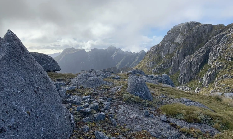
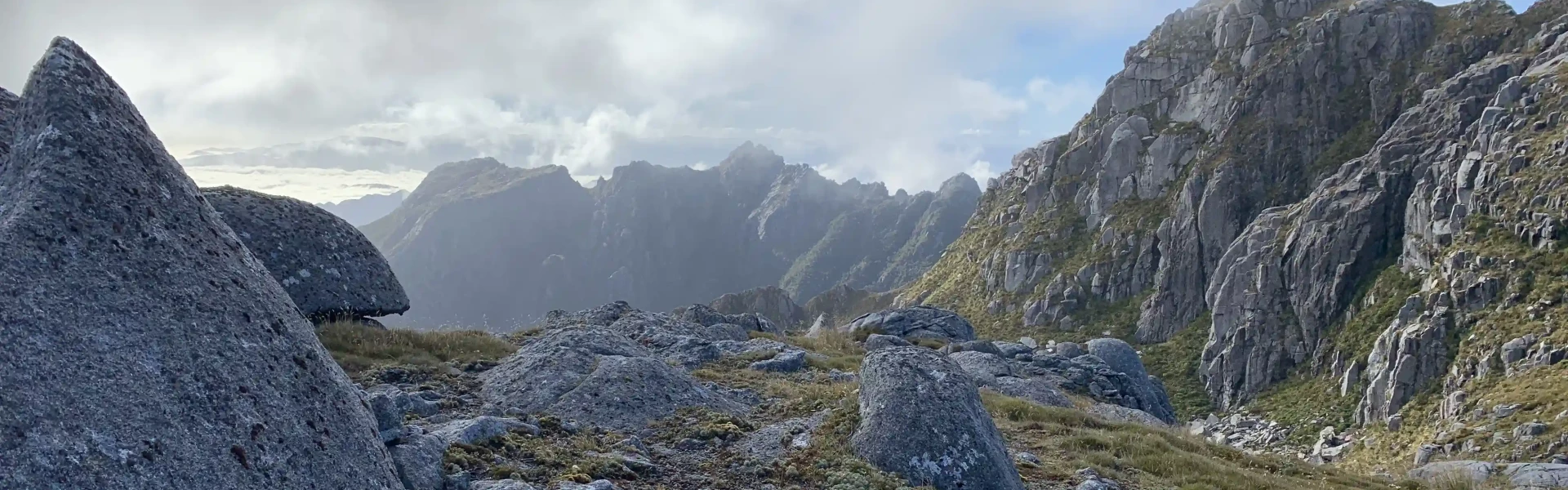
Car park to track head Time: 1 hr Distance: 6 km Starting from the car park, the first hour of the track follows a locked four wheel drive track across Caroline Terrace. This part is walking access only – no vehicles including bikes allowed. Buckland Peaks Track to Buckland Peak Hut Time: 4 hr Distance: 4.53 km This tramping track starts in regenerating cutover forest. You quickly reach diverse podocarp beech forest, climbing relatively steeply from 200 m to 1,100 m. There is a clearing marked as Halfway House which can be good for a rest stop. Mixed podocarp forest changes to dracophyllum to subalpine scrub as you reach the tussock tops. Here you will see Buckland Peaks Hut in the basin about 100 m below the track. If continuing onto the peaks you do not need to drop to the hut. Buckland Peaks Hut to Buckland Peaks (unmarked route) Time: 1 hour From the hut follow the markers back up to the top of the basin. There is no track beyond this point. The unmarked route drops down from point 1175 and continues towards the true peak. Cloud can appear suddenly at any time and vastly decrease visibility. Route finding skills are essential. The Buckland Peaks have amazing granite boulders and formations as well as a large diversity of alpine flora. Here you have stunning views of the rugged Paparoa Range.
Weather in Paparoa Ranges is changeable. Heavy rain, snow, ice, fog and strong winds are possible at all times of the year, especially on the exposed sections of the track. You must be well equipped and prepared for all weather conditions and carry warm and waterproof clothing. If the weather becomes severe, stay put in the hut or turn back until conditions improve.
There are many camping spots on the knobbly ridge above and to the right of the basin from the hut, and also up on the Buckland Peaks. Get water from Buckland Peak Hut as you pass, and ensure you leave no rubbish behind.
The track starts at a car park 1.3 km down Bucklands Peak Road, which is 6.5 km south of Westport. Use this location on Google Maps to help find your way there.
We encourage you to continue gaining the skills and knowledge required for a safe trip. The NZ Mountain Safety Council has lots of free resources and information you can use. These can be accessed via www.mountainsafety.org.nz . We recommend trying these online learning tools: Trip Planning Tramping / field Skills Basic Navigation River Safety Additionally, check out the range of helpful videos available from the NZ Mountain Safety Council YouTube channel
Not Applicable
Track information, access and weather can change. Confirm current alerts and land-manager information close to departure, tell someone your plans, and carry equipment appropriate for the route and conditions.