10 October 2026
Partly cloudy with the chance of a shower. Light winds.
Loading outdoor place details…
Porirua
Worth the effort, this half-day hike offers great views around the Hutt Valley, Wellington and Porirua harbours and towards the South Island.
Distance
6.5 km
Walking time
3 hours
Difficulty
Advanced
Dogs
Not allowed
Wheelchair access
Not marked friendly
Current status
No active alerts found. Conditions can still change, so check again before leaving.
Weather outlook
Issued 10 Oct 2026, 4:55 pm
10 October 2026
Partly cloudy with the chance of a shower. Light winds.
11 October 2026
Showers, clearing to fine spells early afternoon, then clouding over towards evening with drizzle on the ranges. Northerlies.
12 October 2026
Mainly fine, isolated showers at night. Northerlies.
13 October 2026
Occasional rain. Northwesterlies.
14 October 2026
Rain becoming persistent in the morning. Northwesterlies.
Regional guidance only; elevation and terrain can produce different conditions.
Explore the area
Explore the track route and surrounding area before you set out.
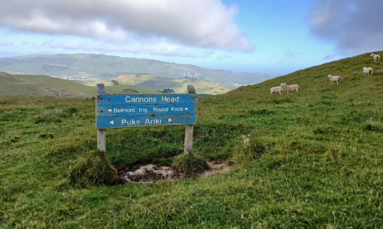
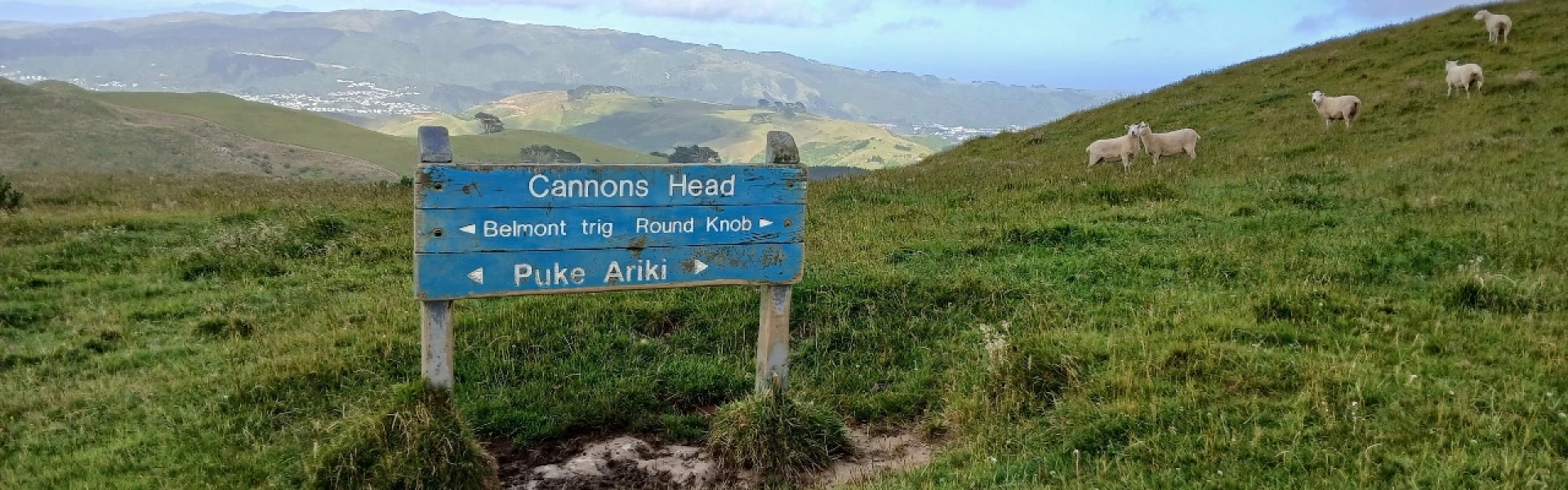
Entering from the Takapu Road entrance, follow signs to Takapu Ridge Track until intersecting with the Dress Circle tramping track which follows the top of the range. As a 30 minute side trip, consider turning right at this point to Belmont Trig, otherwise turn left and follow the open ridge towards Cannons Head trig. From the trig, the track runs northwards along the ridge top before turning left onto a farm track back down to Takapu Road. The farm track runs into the gully and at the bottom crosses Cannons Creek, which is not bridged. The creek is about a metre wide but not very deep. Note that as this is a working farm, there are a couple of gates that are usually locked. Climb the gates at the hinge end.
The park has moderately steep hills and is exposed on the tops to wind, rain and mist. Weather conditions can change quickly, so please: check the weather forecast before your trip carry warm and waterproof clothing and enough food and drink for your trip carry sun protection plan your route and tell someone your intentions wear strong lace-up boots or walking shoes to avoid streams during heavy rain This track is not suitable for mountain buggies. Dogs are not permitted on farmland in Belmont Regional Park. As a large part of this track is on farmland, please leave the dog at home. Please keep to the marked routes as you walk, cycle or ride in the farming areas.
The main starting point is from Takapu Rd, which is accessed from the SH1 Tawa interchange at Grenada North. Parking is available near the substation overlooking Transmission Gully. Use this location in Google Maps to find your way there.
Greater Wellington map of Belmont Park We encourage you to continue gaining the skills and knowledge required for a safe trip. The NZ Mountain Safety Council has lots of free resources and information you can use. These can be accessed via www.mountainsafety.org.nz . We recommend trying these online learning tools: Trip Planning Tramping/field Skills Basic Navigation River Safety Additionally, check out the range of helpful videos available from the NZ Mountain Safety Council YouTube channel .
Track information, access and weather can change. Confirm current alerts and land-manager information close to departure, tell someone your plans, and carry equipment appropriate for the route and conditions.