11 October 2026
Fine, but the chance of an afternoon shower. Northeasterlies dying out in the afternoon.
Loading outdoor place details…
Port Hills
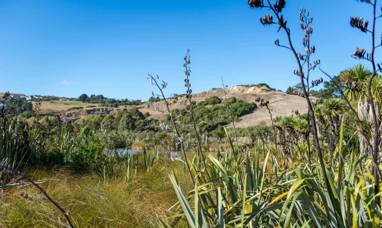
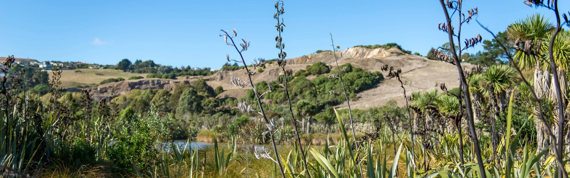
A short walk through the wetlands and native plantings of the Halswell Quarry Conservation Area.
Distance
800 km
Walking time
15 minutes
Difficulty
Easiest
Dogs
Not allowed
Wheelchair access
Not marked friendly
Current status
No active alerts found. Conditions can still change, so check again before leaving.
Weather outlook
Issued 11 Oct 2026, 4:35 pm
11 October 2026
Fine, but the chance of an afternoon shower. Northeasterlies dying out in the afternoon.
12 October 2026
Fine, but some morning low cloud or fog. Light winds, then northeasterlies developing in the afternoon.
13 October 2026
Fine, then a few showers at night. Northwesterlies, turning northeasterly in the evening.
14 October 2026
Showers developing in the morning. Northeasterlies, dying out in the evening.
15 October 2026
Showers developing in the morning, with snow to 800 metres. Southwesterlies developing in the morning.
Regional guidance only; elevation and terrain can produce different conditions.
Explore the area
Explore the track route and surrounding area before you set out.
The information about this track is provided by the Christchurch City Council . For updates on track closures, damage or maintenance, check the walking track status page before heading out. Port Hills tracks Some tracks and reserves remain closed due to significant rockfall risk identified after the Canterbury earthquakes in 2011. Specialist contractors may be rolling and deconstructing rocks in these areas. Obey any closure or warning signs. Care should be taken with open tracks as hazards are not always immediately obvious. Hazard indicators include signs of rocks having moved, cracks and slumping of the ground or rock debris at the base of cliffs. Walkers are advised to remain well clear of the tops and bottoms of coastal cliffs, bluffs and rocky outcrops. Coastal tracks Obey any closure or warning signs. Walkers are advised to remain well clear of the tops and bottoms of coastal cliffs. Shared use tracks If you are mountain biking, please check the MTB track status page .
Use this location in google maps to find your way there.
We encourage you to continue gaining the skills and knowledge required for a safe trip. The NZ Mountain Safety Council has lots of free resources and information you can use. These can be accessed via www.mountainsafety.org.nz . We recommend trying these online learning tools: Trip Planning Tramping / field Skills Basic Navigation River Safety Additionally, check out the range of helpful videos available from the NZ Mountain Safety Council YouTube channel
Prohibited
Track information, access and weather can change. Confirm current alerts and land-manager information close to departure, tell someone your plans, and carry equipment appropriate for the route and conditions.