10 October 2026
Partly cloudy with the odd shower, then rain developing in the evening, possibly heavy. Northeasterlies developing in the morning.
Loading outdoor place details…
Cape Brett and Whangamumu area
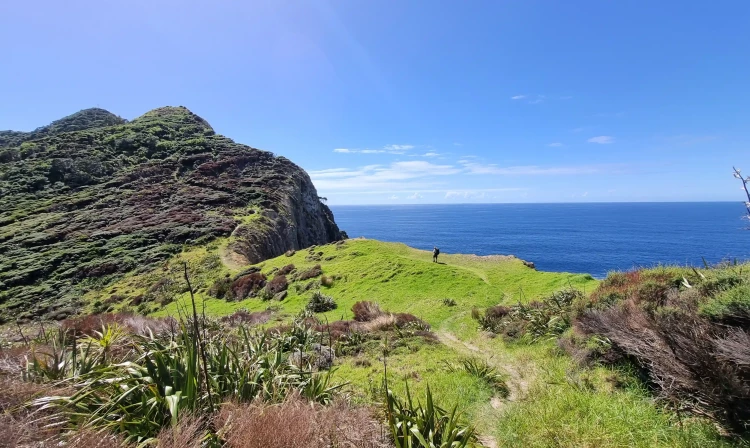
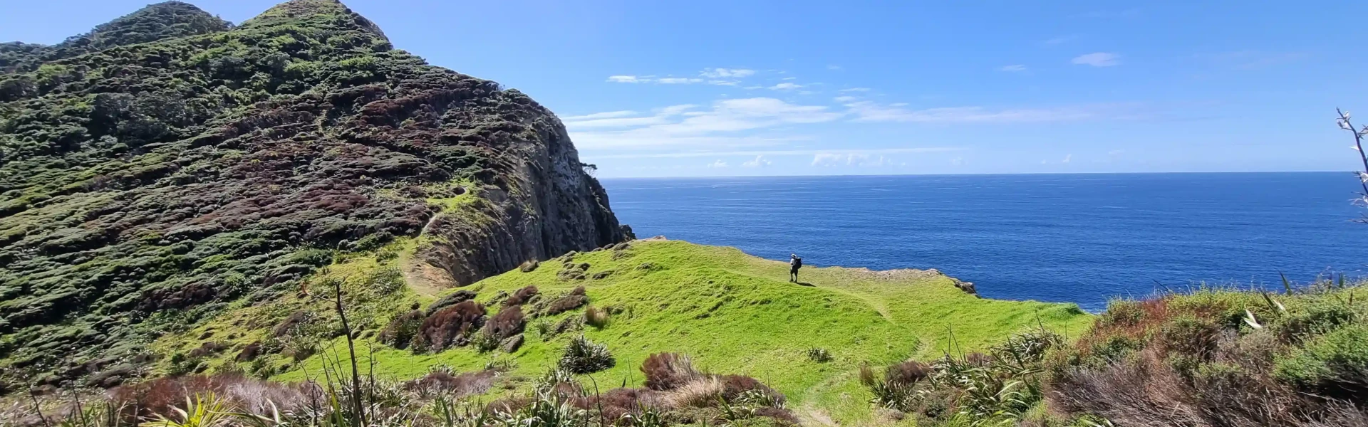
The Cape Brett Track traverses rugged terrain for 16 km through native and regenerating bush. Expect dramatic coastal views; steep cliffs and drop-offs to the side of the track are a feature.
Distance
16.3 km
Walking time
8 hours each way
Difficulty
Advanced
Dogs
Not allowed
Wheelchair access
Not marked friendly
Current status
Beware of tides The entrance to Cape Brett walking track is tidal (from Oke bay). Monitor Bay of islands tide movements and avoid high tide times and northerly swell conditions before you enter/exit. If you attempt to cross within an hour either-side of high tide, expect to get wet, and if carrying backpacks, caution must be taken. This beach crossing may become dangerous in northerly winds that generate large waves.
Weather outlook
Issued 10 Oct 2026, 10:55 am
10 October 2026
Partly cloudy with the odd shower, then rain developing in the evening, possibly heavy. Northeasterlies developing in the morning.
11 October 2026
Occasional rain, clearing for a time in the morning and afternoon. Northwesterlies.
12 October 2026
Cloud clearing and becoming fine in the morning. Northerlies, turning westerly before dawn.
13 October 2026
Partly cloudy, with showers in the afternoon. Westerlies developing in the morning.
14 October 2026
Isolated showers, with increasing cloudy periods. Northwesterlies.
Regional guidance only; elevation and terrain can produce different conditions.
Explore the area
Explore the track route and surrounding area before you set out.
Time required : 8 hours Cape Brett Track traverses through native and regenerating bush. After a brief start on the beach at Oke Bay, the track runs along the ridge through Maori-owned land before reaching conservation land at Deep Water Cove - Manawahuna for the last 6 km of the track. You can take a side-track (1 hr return) down to Deep Water Cove, where you can enjoy a refreshing swim and snorkel. From the forested ridges, you can take in spectacular coastal scenery. Towards the Cape, walking alongside the dramatic cliff-face, you can see abundant fish and bird life below - often dolphins and seals will come close to shore. From Deep Water Cove onwards, the track gets more challenging and becomes quite exposed with steep drop-offs to the sea below. Although it is not that far to the lighthouse, it will take you about 2-3 hours, and can be quite tiring. The effort is rewarded with outstanding views of the outer Bay of Islands, north to the Cavalli Islands and south to Whangaruru and beyond to the Poor Knights Islands.
All trampers must pay a track maintenance fee, and a fee to use the Cape Brett Hut. Adult: $40 | Child: $20 You can do this when booking beds at the hut. There is no charge for the section of track between Deep Water Cove and Cape Brett, or Whangamumu to Te Toroa Bay. To walk this 16 km undulating track, you need to: be self-sufficient and have have a high degree of fitness and experience take extreme caution as there are many bluffs and steep cliffs remain on the track at all times do not take shortcuts have 8 hours of daylight one way to complete the journey to the old lighthouse settlement wear tramping/hiking boots or shoes, especially if the track is wet take plenty of water to drink during the tramp carry a water treatment system if you are staying at the Cape Brett hut as the quality of drinking water cannot be guaranteed during summer give way to other people when on narrow sections of the track Before tramping in or staying at the hut, check with the DOC Bay of Islands office about the water supply.
Clean your footwear, tyres and equipment before and after visiting our kauri forests. If you are walking your dog, you should also make sure you clean their paws. Use cleaning stations every time you pass one while you are walking in a park. Stay on the tracks and keep off kauri roots. Stay away from closed tracks. Don't remove soil from, or bring soil into, areas with kauri trees.
Cape Brett Hut is the old lighthouse keeper’s house. Bookings are required. It has 23 bunks and gas burners for cooking. Water is not reliable, so bring your own for drinking and cooking. Camping is not allowed.
Cape Brett is 30 km north east of Russell. You can get to Cape Brett and Whangamumu via Rawhiti Road. From Russell, take the Russell-Whakapara Road for 13.8 km and turning off at Kempthorne Road. Follow the road through Parekura Bay, continuing on to Manawaora Road. At the top of the road, turn left onto Rawhiti Road. From Whangarei travel north turning off SH1 at Whakapara. Follow the Russell Road until you get to Rawhiti Road. Parking is available for a small fee at: 253 Rawhiti Road, Kaingahoa (Julie Witehira) Kaingahoa Marae, 243 Rawhiti Road, Rawhiti Hartwells, Kaimarama Bay. Use this location in Google Maps to find your way there.
We encourage you to continue gaining the skills and knowledge required for a safe trip. The NZ Mountain Safety Council has lots of free resources and information you can use. These can be accessed via www.mountainsafety.org.nz . We recommend trying these online learning tools: Trip Planning Tramping / field Skills Basic Navigation River Safety Additionally, check out the range of helpful videos available from the NZ Mountain Safety Council YouTube channel .
No dogs.
Track information, access and weather can change. Confirm current alerts and land-manager information close to departure, tell someone your plans, and carry equipment appropriate for the route and conditions.