9 October 2026
Cloud about the tops, clearing to fine this evening.
Loading outdoor place details…
Arthur's Pass National Park
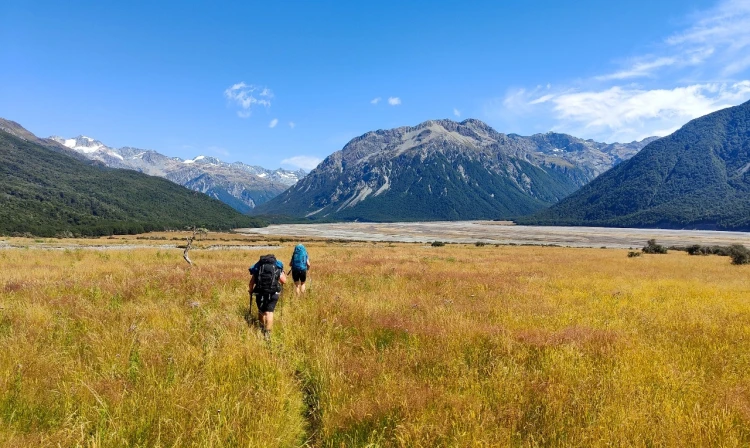
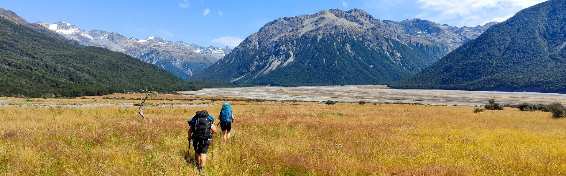
This route up the braided riverbed of the Waimakariri leads to a comfortable hut situated below the park’s highest peaks. Carrington Hut is a good base for exploring the upper Waimakariri catchment.
Distance
12.3 km
Walking time
4-6 hr to Carrington Hut one way
Difficulty
Expert
Dogs
Not allowed
Wheelchair access
Not marked friendly
Current status
The track to Carrington Hut has been cut off by the Waimakariri River 2 km upstream from Anti Crow Hut. It is still marked on the topographic maps but is now impassable. You will need to cross the Waimakariri River at least two times before rejoining the track. This river crossing is always difficult. Be prepared to turn back.
Weather outlook
Issued 9 Oct 2026, 9:24 pm
9 October 2026
Cloud about the tops, clearing to fine this evening.
10 October 2026
Cloud developing about the tops in the morning, then showers from afternoon, possibly heavy and thundery with hail.
11 October 2026
A few showers, clearing in the evening.
12 October 2026
Fine.
13 October 2026
Showers.
Regional guidance only; elevation and terrain can produce different conditions.
Explore the area
Explore the track route and surrounding area before you set out.
The Carrington Hut Route takes you up the Waimakariri River to Carrington Hut, which provides good access to the surrounding passes and mountains. This route requires experience with crossing rivers and good judgement as the Waimakariri River and side streams can rise quickly with rain. There are two options for this route, the more direct route starts on the true left (western side) of the Waimakariri River where a 2km gravel road leads to the riverbed. From here, head straight up the valley, crossing the river when required. After Turkey Flat either get onto the track after Anti Crow Hut or continue up the riverbed. Alternatively, there is a more formed route that starts on the true right of the Waimakariri immediately before the road bridge. This track is marked as O’Malley Track and is more suitable when the river is high.
Due to its proximity to the Main Divide, this route can be prone to bad weather. After a significant rain event, the Waimakariri and side streams can be difficult or become impassable. No dogs are permitted. Arthurs Pass to the west has minimal supplies and a petrol station, Springfield to the east has a petrol station and a Four Square.
Carrington Hut is a standard hut with 36 bunks, a non-flushing toilet and untreated tap water. There is a wood burner and a hut radio. Shelter can also be gained at Anti Crow Hut on the way. Anti Crow Hut is more basic with 6 bunks.
Park at Klondyke Corner or on the true right of the Waimakariri before the bridge on SH73. Use this location in Google Maps to find your way there.
We encourage you to continue gaining the skills and knowledge required for a safe trip. The NZ Mountain Safety Council has lots of free resources and information you can use. These can be accessed via www.mountainsafety.org.nz . We recommend trying these online learning tools: Trip Planning Tramping / field Skills Basic Navigation River Safety Additionally, check out the range of helpful videos available from the NZ Mountain Safety Council YouTube channel .
No dogs.
Track information, access and weather can change. Confirm current alerts and land-manager information close to departure, tell someone your plans, and carry equipment appropriate for the route and conditions.