10 October 2026
Showers, possibly heavy and thundery with hail, easing this evening.
Loading outdoor place details…
Arthur's Pass National Park
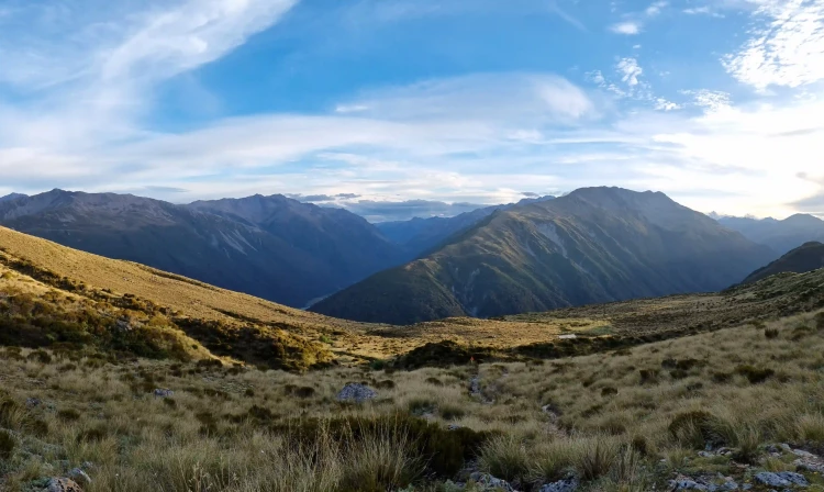
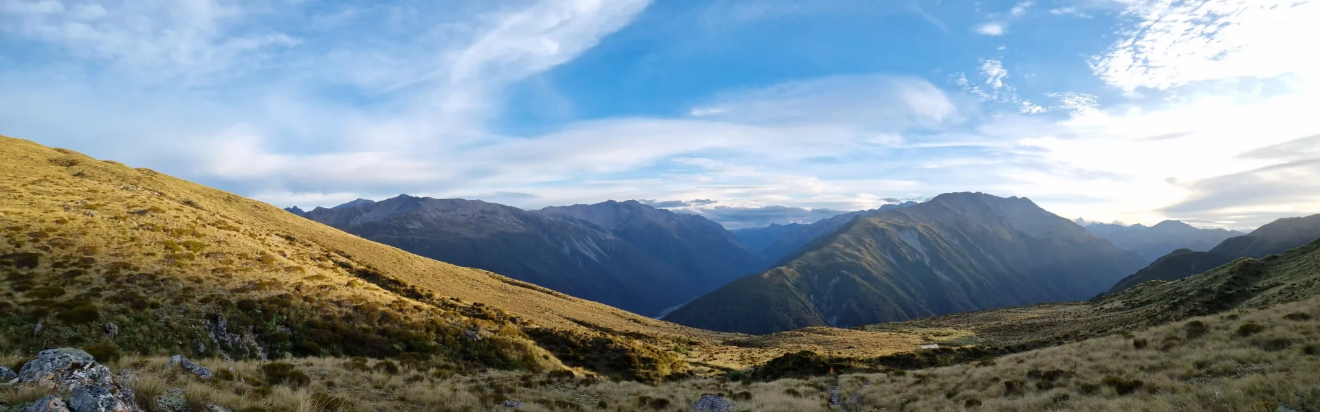
Climb steeply up 760 m to Carroll Hut for good views (on fine days) down the Taramakau River to the West Coast.
Distance
5 km
Walking time
6 hr
Difficulty
Advanced
Dogs
Not allowed
Wheelchair access
Not marked friendly
Current status
Weather outlook
Issued 10 Oct 2026, 9:23 pm
10 October 2026
Showers, possibly heavy and thundery with hail, easing this evening.
11 October 2026
Showers, becoming few and far between in the afternoon, then clearing to fine in the evening.
12 October 2026
Fine.
13 October 2026
A few showers developing.
14 October 2026
Rain, with heavy falls. Snow lowering to 2200 metres.
Regional guidance only; elevation and terrain can produce different conditions.
Explore the area
Explore the track route and surrounding area before you set out.
Shortly after leaving the carpark, you'll cross the side stream on the true left of Kellys River. This side stream can flood in heavy rain and may be impassable. Beyond this, the track is steep and requires backcountry experience. At times you will need to use tree roots to pull yourself up steeper sections. Once above the bushline, the track sidles steep terrain before levelling out towards the hut. Although only 2.5 km to Carroll Hut, the track takes 3hrs each way with approximately 800m elevation gain. Beyond the Hut, it is another 300 metres uphill to the tarns at Kelly Saddle, taking around 15 minutes.
This track is steep, requiring a reasonable level of fitness As it is located close to the main divide, this area can experience sudden changes in weather.
Carroll Hut is a standard DOC hut with 10 bunks. Hut tickets or the Backcountry hut pass are required to stay in this hut. They can be purchased at any DOC Visitor Centre. There is a DOC Visitor Centre located in Arthurs Pass.
Just north of Otira on SH73, after crossing the bridge, there is a turn off which leads to the carpark for Cockayne Nature Walk, which is also the carpark for Carroll Hut Track. Please note that thefts have been reported in this area and it is best to not leave valuables inside your vehicle. Use this location in Google Maps to find your way there.
We encourage you to continue gaining the skills and knowledge required for a safe trip. The NZ Mountain Safety Council has lots of free resources and information you can use. These can be accessed via www.mountainsafety.org.nz . We recommend trying these online learning tools: Trip Planning Tramping / field Skills Basic Navigation River Safety Additionally, check out the range of helpful videos available from the NZ Mountain Safety Council YouTube channel .
No dogs.
Track information, access and weather can change. Confirm current alerts and land-manager information close to departure, tell someone your plans, and carry equipment appropriate for the route and conditions.