10 October 2026
Cloud about the tops, and light showers developing this evening.
Loading outdoor place details…
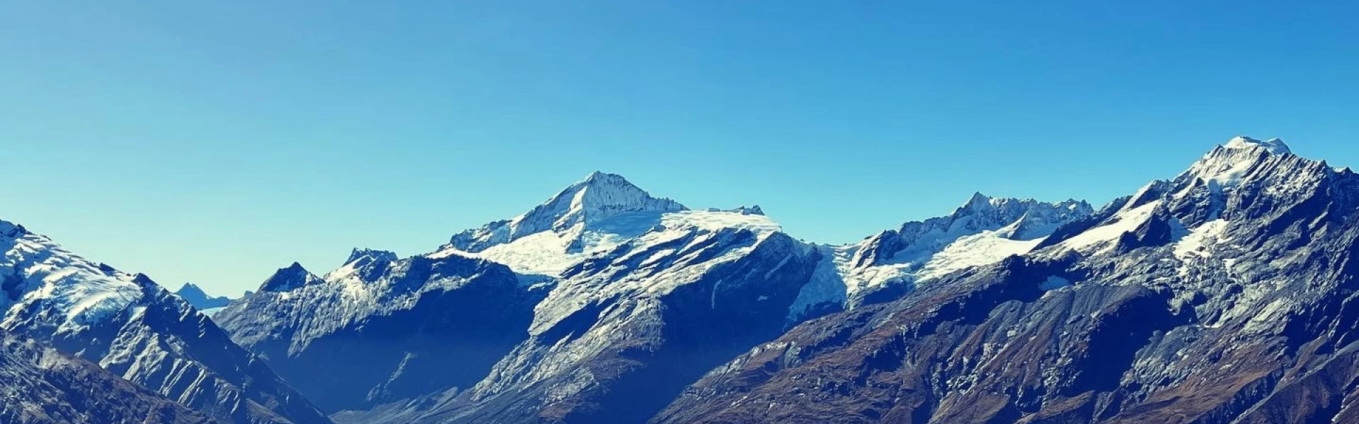
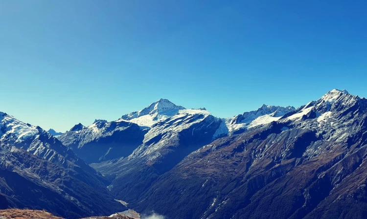
Matukituki Valley area
The Cascade Saddle Route is an alpine crossing recommended for experienced trampers as a fine weather, summer route.
Distance
52 km
Walking time
4-5 days one way
Difficulty
Expert
Dogs
Not allowed
Wheelchair access
Not marked friendly
Current status
Weather outlook
Issued 10 Oct 2026, 7:33 am
10 October 2026
Cloud about the tops, and light showers developing this evening.
11 October 2026
Showers clearing to partly cloudy in the afternoon. Snow to 1900 metres at first.
12 October 2026
Fine, but becoming overcast at night.
13 October 2026
Showers turning to heavy rain. Snow lowering to 2300 metres.
14 October 2026
Heavy rain easing. Snow to 1700 metres.
Regional guidance only; elevation and terrain can produce different conditions.
Explore the area
Explore the track route and surrounding area before you set out.
Time required: 3-4 days. While the route begins at Aspiring Hut in the West Matukituki Valley and ends at Dart Hut in the Dart Valley, the whole experience starts from Raspberry Flat carpark along the West Matukituki Track, and finishes by walking from Dart Hut along the Rees Track to Muddy Creek carpark. It is not recommended to attempt Cascade Saddle Route between April and mid-December due to the high amount of snowfall it receives. Although the route can be completed in either direction, DOC recommends trampers begin from the Matukituki side as ascending from there is much safer than descending. Getting to Dart Hut in a day is possible in good summer weather conditions but takes around 8-10 hours. To avoid a very long day, stay overnight at Aspiring Hut or Aspiring campsite, or at the campsite at Cascade Creek which is approximately halfway. The route is signposted from Aspiring Hut and climbs steadily up through mixed beech forest. Above the bushline, the track becomes a route and is marked with orange poles. It follows a steep snow grass and tussock ridge with some rocky outcrops and ledges to negotiate. The route reaches the pylon at the top of the ridge (1835 m) via a steep and narrow gully that holds snow for much of the year. After the pylon follow the poles down to Cascade Creek. Here there is a camping site with a toilet. It's the only suitable camping site along the route. From the campsite, cross the creek and follow the clear path along the flats towards Cascade Saddle. The route to Dart Hut veers off to the left, just before you reach Cascade Saddle. Follow the orange poles along the ridge, then the rock cairns through the steep and unstable slopes down to the valley floor and lateral moraines of the Dart Glacier. The traverse from the ridge to the valley floor is above 1500 metres and very exposed to the weather. Stay on the true left bank of the Dart River/Te Awa Whakatipu – the left side looking down river. You will need to ford several side streams. The water level rises quickly with either rain or afternoon snow melt, take care in particular with streams further down the valley, close to Dart Hut. Slightly upstream from the confluence of the Dart and Snowy Creek, a bridge over the creek leads to Dart Hut. From Dart Hut, follow Rees Track, as Dart Track is indefinitely closed due to a large slip which has made it impassable. Rees Track takes two additional days.
This route is only suitable for people with navigation and high-level backcountry skills and experience. The route from Matukituki Valley has very exposed sections, particularly at the top, which are not for the faint-hearted. Multiple fatalities have occurred on this route; make sure you have the right skills and equipment and be prepared to turn back if conditions are unfavourable – failure to make good decisions while attempting this traverse may result in serious injury or death.
Aspiring Hut , with it's historic stone walls, is a beautifully renovated hut with incredible views. It has gas cookers, lighting and heating, and flushing toilets. Bookings are required. Aspiring Campsite is just outside the hut, however campers may not use the hut's facilities. Bookings are not required, and fees must be pre-paid at the Tititea/Mount Aspiring Visitor Centre in Wānaka. Cascade Saddle Campsite (also known as Cascade Creek campsite) is approximately halfway time-wise between Aspiring Hut and Dart Hut. Be aware that there have been reports of Kea chewing tents and stealing gear at the campsite. Bookings are not required, and it is free to camp. Dart Hut does not require bookings - first come, first served. However, it is strongly recommended to carry a tent for emergency use along Cascade Saddle Route, and in case the hut is full when you arrive. Dart Campsite is across the bridge from Dart Hut, and has space for 18 tents. Bookings are not required, but it does cost. Prepay at the nearest DOC Visitor Centre. Campers may use hut water supply and toilets. Shelter Rock Hut does not require bookings - first come, first served. However, it is strongly recommended to carry a tent for emergency use along Cascade Saddle Route, and in case the hut is full when you arrive. Shelter Rock Campsite is outside the hut, and has space for 10 tents. Bookings are not required, but it does cost. Prepay at the nearest DOC Visitor Centre. Campers may use hut water supply and toilets.
From Wanaka it is 54 km to the Raspberry Creek car park – the last 30 km is unsealed. The route is then accessed from the West Matukituki Valley, which is the recommended starting point. Use this location in Google Maps to find your way there. You'll need to arrange someone to pick you up from Muddy Creek carpark. Use this location in Google Maps to find your way there. Public transport is also available to and from all the connecting tracks.
We encourage you to continue gaining the skills and knowledge required for a safe trip. The NZ Mountain Safety Council has lots of free resources and information you can use. These can be accessed via www.mountainsafety.org.nz . We recommend trying these online learning tools: Trip Planning Tramping / field Skills Basic Navigation River Safety Additionally, check out the range of helpful videos available from the NZ Mountain Safety Council YouTube channel .
Sudden cold storms with snow affect this area, even during summer. The route is exposed to very heavy rain from the west which often causes river levels to rise rapidly and make the side creeks of the Dart River unsafe to cross. Bring an emergency shelter or tent in case you need to wait for creek levels to drop. Steep snow grass slopes on the Matukituki side become treacherous and slippery when wet or covered with snow and ice. In winter through early summer, crampons and ice axes may be required. Strong winds from the northwest are also prevalent when rain is expected.
No dogs.
Track information, access and weather can change. Confirm current alerts and land-manager information close to departure, tell someone your plans, and carry equipment appropriate for the route and conditions.