11 October 2026
Showers, clearing in the afternoon, but some cloud remaining about the tops.
Loading outdoor place details…
Matukituki Valley area
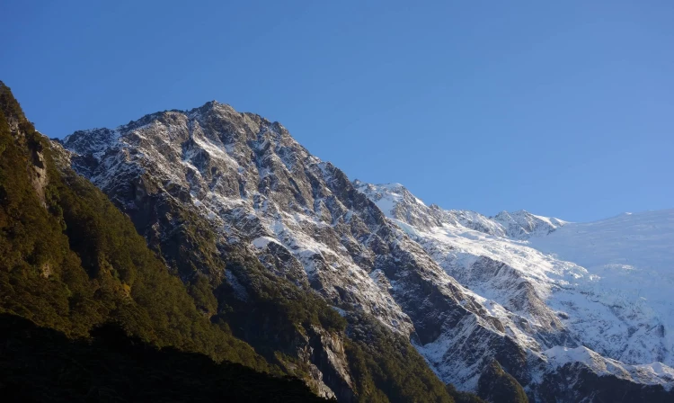
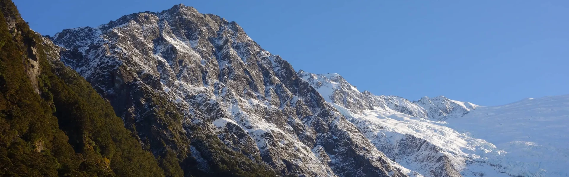
This track offers an easy route into a dramatic alpine landscape that includes snowfields, glaciers, sheer rock cliffs and waterfalls. Older children should be able to complete the track.
Distance
10 km
Walking time
3–4 hr
Difficulty
Easy
Dogs
Not allowed
Wheelchair access
Not marked friendly
Current status
Weather outlook
Issued 10 Oct 2026, 9:23 pm
11 October 2026
Showers, clearing in the afternoon, but some cloud remaining about the tops.
12 October 2026
Fine, but becoming overcast at night.
13 October 2026
Showers turning to heavy rain. Snow lowering to 2500 metres.
14 October 2026
Heavy rain easing to showers. Snow to 2200 metres.
15 October 2026
A few showers.
Regional guidance only; elevation and terrain can produce different conditions.
Explore the area
Explore the track route and surrounding area before you set out.
Time required : 3 – 4 hours return About 15 minutes from the Raspberry Flat car park, cross a swing bridge across the West Matukituki River. The track climbs through a small gorge into beech forest, then into alpine vegetation at the head of the valley, with good views of the Rob Roy Glacier.
Sections of the track have steep drop-offs. Take care when crossing. Access is restricted to the lower lookout when avalanche danger is present (May–November).
The track starts at the Raspberry Creek car park, 54 km west of Wanaka on the Wanaka-Mount Aspiring Road. The last 30 km are unsealed. The drive takes about an hour. Drive carefully and be courteous to drivers coming the other way by slowing down to avoid stones flicking up and hitting the other vehicle. Use this location in Google Maps to find your way there. Transport services from Wanaka to the car park are also available.
We encourage you to continue gaining the skills and knowledge required for a safe trip. The NZ Mountain Safety Council has lots of free resources and information you can use. These can be accessed via www.mountainsafety.org.nz . We recommend trying these online learning tools: Trip Planning Tramping / field Skills Basic Navigation River Safety Additionally, check out the range of helpful videos available from the NZ Mountain Safety Council YouTube channel .
Weather in this area can be unpredictable and alpine conditions can arrive at any time of year – take appropriate clothing, and check weather and road conditions before you go. While only a short walk, the weather can change abruptly in this part of the country.
No dogs.
Track information, access and weather can change. Confirm current alerts and land-manager information close to departure, tell someone your plans, and carry equipment appropriate for the route and conditions.