10 October 2026
Partly cloudy with the chance of a shower. Light winds.
Loading outdoor place details…
Catchpool Valley & Ōrongorongo Valley
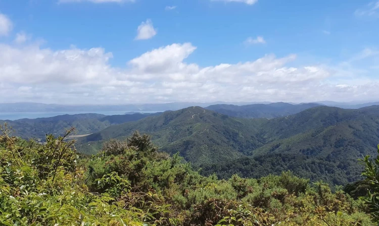
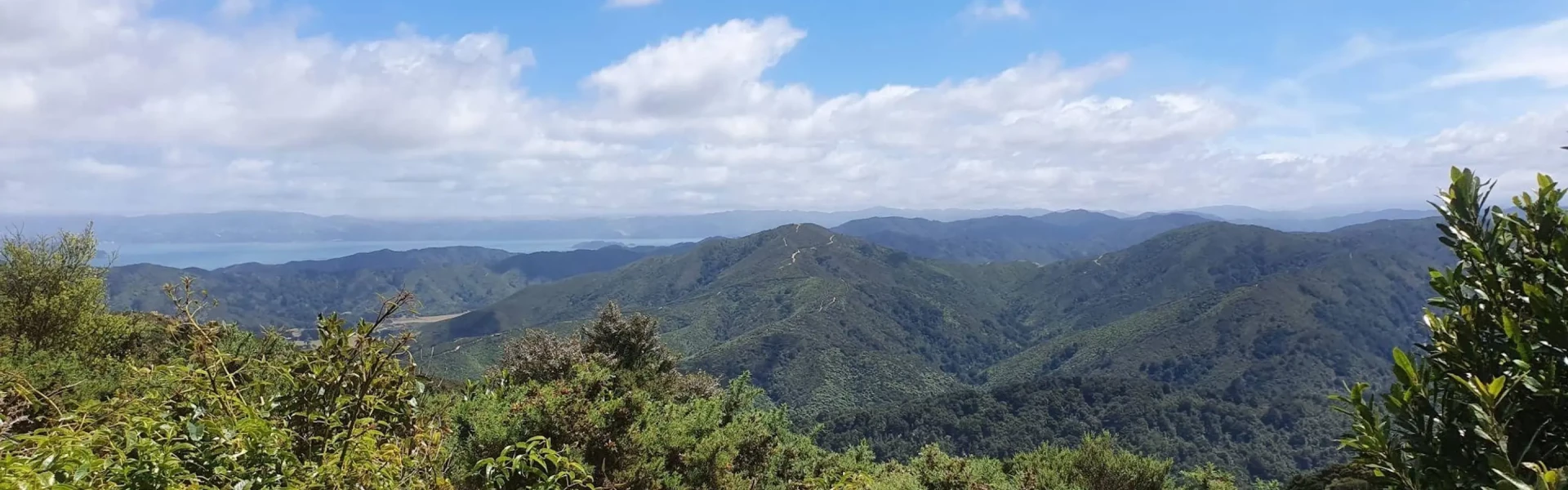
This track gives outstanding views of the Remutaka Range and Ōrongorongo Valley.
Distance
12.99 km
Walking time
4 hrs 30 mins
Difficulty
Advanced
Dogs
On-lead only
Wheelchair access
Not marked friendly
Current status
Weather outlook
Issued 10 Oct 2026, 4:55 pm
10 October 2026
Partly cloudy with the chance of a shower. Light winds.
11 October 2026
Showers, clearing to fine spells early afternoon, then clouding over towards evening with drizzle on the ranges. Northerlies.
12 October 2026
Mainly fine, isolated showers at night. Northerlies.
13 October 2026
Occasional rain. Northwesterlies.
14 October 2026
Rain becoming persistent in the morning. Northwesterlies.
Regional guidance only; elevation and terrain can produce different conditions.
Explore the area
Explore the track route and surrounding area before you set out.
To begin, start from Catchpool Valley carpark along the Orongorongo Track. After 500m, Butcher Track begins on your right, and climbs for 1.8km. This is a steep climb which can take up to 2 hours. At the top of this track, a lookout can be found 100m to the right. Then return to the top of Butcher Track to follow Cattle Ridge Track for 4.6kms. After contouring around the hill, the track then follows the ridgeline with a gentle elevation loss until a short steep descent to rejoin the Ōrongorongo Track. Cattle Ridge Track will take around 1.5 hours. From here, either turn right to visit Ōrongorongo River or left to return back along the Ōrongorongo Track to lead back out to the carpark, which will take a further hour on this fairly flat valley track.
There are bathroom and water amenities available at the carpark entrance at Catchpool Valley. As this is an alpine walk, the weather and temperature can be drastically different from your start point. Ensure you have lots of layers and appropriate equipment all year round. This walk uses orange triangles to mark the route. The gate to Catchpool valley is open during summer daylight savings 6 am – 8 pm. In winter 6 am – 6 pm. Dogs are allowed, but must be on a leash at all times. There is little to no cell phone coverage in this area.
Catchpool Valley campsite is a popular campsite in Catchpool Valley, with plenty of short and longer walks to explore. Graces Stream Campsite is a great little backcountry campsite not far from the start of the track. Turere Lodge is the largest and most popular of the DOC huts in Ōrongorongo Valley. It is suitable for families and larger groups and does not require crossing the Ōrongorongo River. It must be booked in advance. Each room has eight bunks and is sole occupancy. Individual bunks are not available. Jans Hut and Raukawa Hut are closer to the end of the track, but require a crossing of the river. The Ōrongorongo River rises quickly and can take several days to drop to a level that is safe to cross. Check the flow before leaving home. Do not cross the river when it's in flood or if sustained rainfall is forecast in the area. These huts must be booked in advance. As with most other DOC huts in the valley, the booking system is for booking the entire hut as sole occupancy. Individual bunks are not available. Other huts can be booked through DOC’s website or Wellington Tramping and Mountaineering Club.
Catchpool Valley is 12 km south of Wainuiomata. Follow the Coast Road for 10 km to the Remutaka Forest Park entrance, then follow the Catchpool Valley Road for 2 km to the car park and information area. If the water is flowing over the ford on the road, park before the ford and use the Nga Taonga Nature Walk to reach the car park. The track starts from the main car park next to the small information shelter. Use this location in Google Maps to find your way there.
We encourage you to continue gaining the skills and knowledge required for a safe trip. The NZ Mountain Safety Council has lots of free resources and information you can use. These can be accessed via www.mountainsafety.org.nz . We recommend trying these online learning tools: Trip Planning Tramping / field Skills Basic Navigation River Safety Additionally, check out the range of helpful videos available from the NZ Mountain Safety Council YouTube channel .
Dogs on a leash only.
Track information, access and weather can change. Confirm current alerts and land-manager information close to departure, tell someone your plans, and carry equipment appropriate for the route and conditions.