9 October 2026
Cloud about the tops.
Loading outdoor place details…
Kahurangi National Park
Chummies Track is a steep climb up to John Reid Hut. It fords the Wangapeka River which is impassable if running high.
Distance
7.2 km
Walking time
3-5 hr
Difficulty
Intermediate
Dogs
Allowed — check local rules
Wheelchair access
Not marked friendly
Current status
Weather outlook
Issued 9 Oct 2026, 7:33 am
9 October 2026
Cloud about the tops.
10 October 2026
Cloud increasing with showers developing in the morning, becoming rain at night.
11 October 2026
Rain clearing to fine in the afternoon.
12 October 2026
Partly cloudy with isolated showers.
13 October 2026
Partly cloudy.
Regional guidance only; elevation and terrain can produce different conditions.
Explore the area
Explore the track route and surrounding area before you set out.
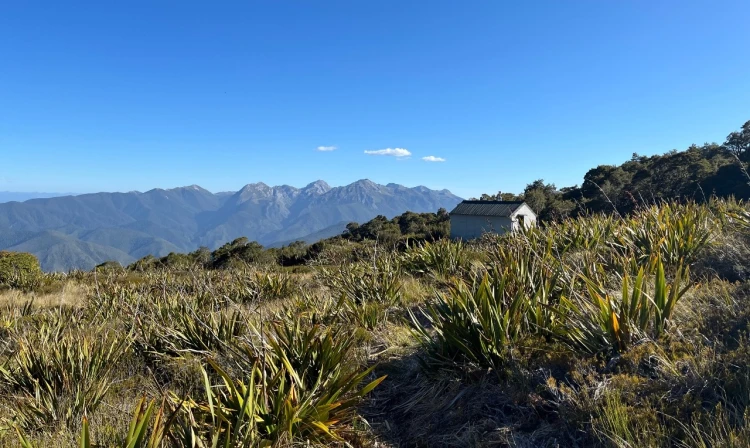
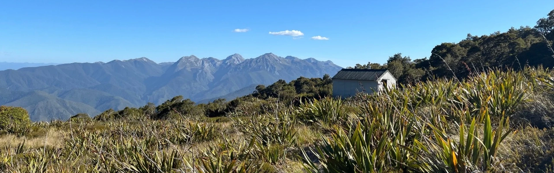
Chummies Track begins with a ford of the Wangapeka River. There is no bridge, and the river is impassable when running high. The track climbs steeply, gaining 500 m of elevation in just over a kilometre to reach the ridge crest. From here, the gradient eases, and occasional clearings offer views north to Mt Baldy and Mt Gomorrah in the Arthur Range. Above the bushline, the track sidles across open tussock and mountain flax slopes, crossing several small streams before reaching John Reid Hut. Chummies Track and John Reid Hut can be combined with the Kiwi Saddle Hut Track to form a three-day loop.
Chummies Track fords the Wangapeka River which is impassable if running high. It is located in an alpine environment, so proper preparation and care should be made to ensure a safe trip. Always be prepared for freezing conditions and take extra care if snow and ice and are present. Make sure you carry plenty of water with you as there are no water sources on the way up.
John Reid Hut
Chummies Track begins near the start of the Wangapeka Track , in the Wangapeka Valley, southwest of Nelson. From Tapawera, cross the Motueka River and head southwest along Tadmor Valley Rd, then turn right onto Tadmor-Bushend Rd. From Matariki the road is unsealed. Follow the road to the Dart River Ford; this cannot be crossed when running high. Continue for a further 7 km to the Kahurangi National Park boundary, where a grassed area allows parking and an information panel provides a map and track details. This is where Chummies Track starts. Caution required on Dart River Ford on the Wangapeka River If you’re planning to cross the Dart Ford by vehicle, identify suitable conditions first. Due to ongoing gravel migration filling the ford, the river is flowing over the ford even at low water levels. The ford may be impassable after heavy rain. Check river flow for Wangapeka at Walter Peak on the Tasman District Council website before you set off.As a guide, if the flow indicated on the graph exceeds 40 cumecs then it is not advisable to cross. However, the river may still be unsafe to cross because: the flow shown on the website can be inaccurate, or the Dart River may be flowing higher than the Wangapeka indicates, or the culverts under the ford may be choked with gravel. So you must re-assess the flow conditions once you arrive in terms of your vehicle and driving skill level. Don’t forget to check the weather forecast for your return trip too. Use this location on Google Maps to help find your way there.
We encourage you to continue gaining the skills and knowledge required for a safe trip. The NZ Mountain Safety Council has lots of free resources and information you can use. These can be accessed via www.mountainsafety.org.nz . Level up in your outdoor knowledge with these interactive online learning tools: Trip Planning Tramping / field Skills Basic Navigation River Safety Additionally, check out the range of helpful videos available from the NZ Mountain Safety Council YouTube channel .
Dogs are prohibited.
Track information, access and weather can change. Confirm current alerts and land-manager information close to departure, tell someone your plans, and carry equipment appropriate for the route and conditions.