9 October 2026
Cloud about the tops.
Loading outdoor place details…
Cobb Valley
Walk up the valley beside the Cobb River to Fenella Hut. There are several huts along the way and plenty of options for swimming, picnicking and fishing.
Distance
12.6 km
Walking time
4–5 hr one way
Difficulty
Advanced
Dogs
Not allowed
Wheelchair access
Not marked friendly
Current status
Weather outlook
Issued 9 Oct 2026, 7:33 am
9 October 2026
Cloud about the tops.
10 October 2026
Cloud increasing with showers developing in the morning, becoming rain at night.
11 October 2026
Rain clearing to fine in the afternoon.
12 October 2026
Partly cloudy with isolated showers.
13 October 2026
Partly cloudy.
Regional guidance only; elevation and terrain can produce different conditions.
Explore the area
Explore the track route and surrounding area before you set out.
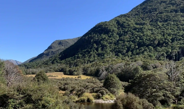
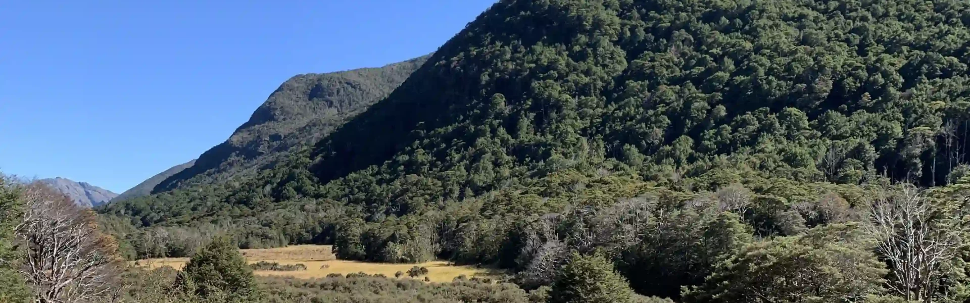
Trilobite Hut to Chaffey Hut Time: 1 hr 30 min Distance: 5 km The Cobb Valley Track begins at Trilobite Hut, following the true right of the Cobb River along the valley floor. The track gently ascends through a mix of open grassy meadows and beech forest. Along the way, enjoy views of the surrounding ranges, with Mt Benson standing prominently ahead. Chaffey Hut is located a short distance from a bend in the Cobb River. Chaffey Hut to Cobb Hut Time: 2 hr 30 min Distance: 6 km The tramping track continues up the valley floor, passing the restored Tent Camp and onto Cobb Hutt . Side trip: Lake Cobb and Round Lake From Cobb Hut it is a 30-minute walk to Lake Cobb, with Round Lake a further hour beyond that. Cobb Hut to Fenella Hut Time: 30 min Distance: 1 km Beyond Cobb Hut, the track climbs for about 30 minutes to a series of glacier-worn rocky steps to Fenella Hut.
From Richmond, take State Highway 60 west over Takaka Hill. At Upper Takaka, turn left onto Cobb Dam Road and follow it into Cobb Valley, crossing the ridge to Cobb Reservoir. The road is narrow with steep drop-offs to the Takaka River, so drive cautiously. It becomes unsealed at the turbine house and reaches 1100 m at Cobb Ridge, where snow and ice can be present year-round. Descend to the reservoir and follow the road along its edge to Trilobite Hut, where a parking area is available. 4WD is recommended on the access road into the Cobb valley (Cobb Dam Road) in winter, due to ice and/or snow. Use this location on Google Maps to help find your way there.
We encourage you to continue gaining the skills and knowledge required for a safe trip. The NZ Mountain Safety Council has lots of free resources and information you can use. These can be accessed via www.mountainsafety.org.nz . We recommend trying these online learning tools: Trip Planning Tramping / field Skills Basic Navigation River Safety Additionally, check out the range of helpful videos available from the NZ Mountain Safety Council YouTube channel
No dogs.
Track information, access and weather can change. Confirm current alerts and land-manager information close to departure, tell someone your plans, and carry equipment appropriate for the route and conditions.