09 October 2026
Mainly fine, some cloud late morning and afternoon. Easterlies for a time afternoon and early evening.
Loading outdoor place details…
Waitākere West Regional Park
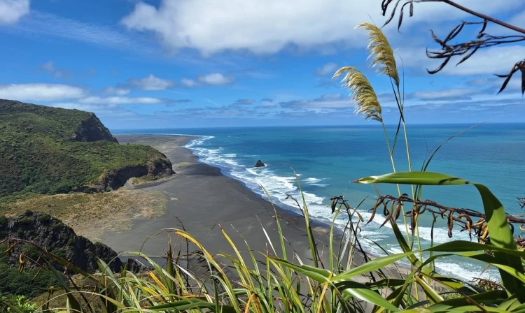
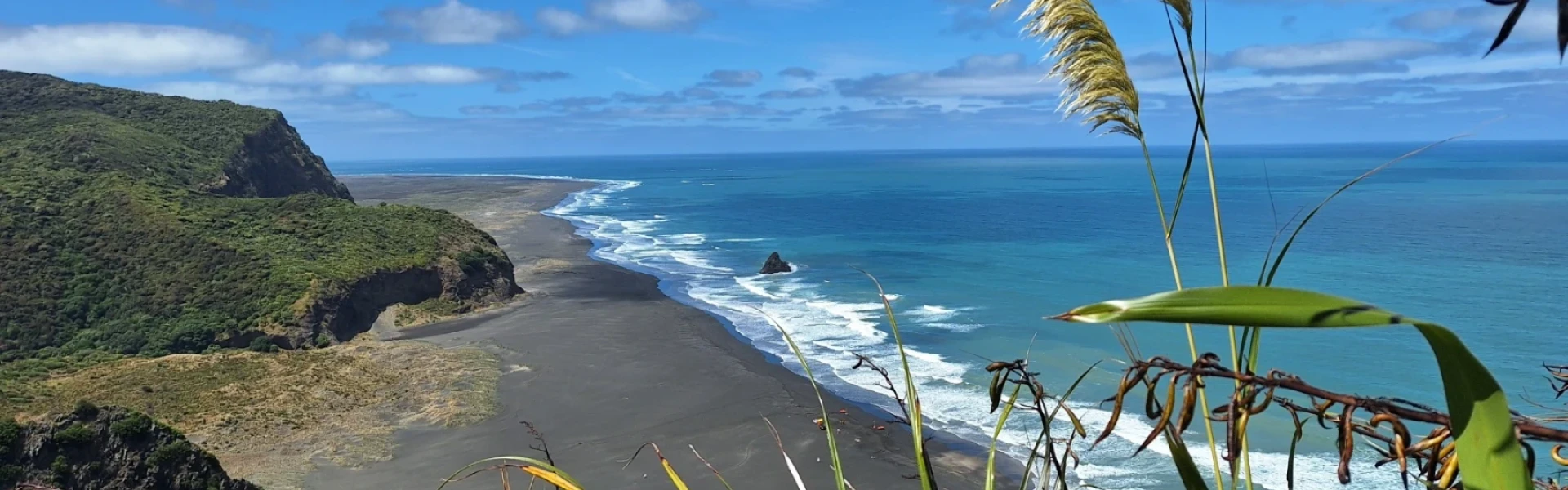
Discover this 7.24 km, loop trail near Karekare. Its a moderately challenging route featuring native bush and glorious west coast views.
Distance
7.2 km
Walking time
2.5 hours
Difficulty
Intermediate
Dogs
Allowed — check local rules
Wheelchair access
Not marked friendly
Current status
No active alerts found. Conditions can still change, so check again before leaving.
Weather outlook
Issued 9 Oct 2026, 3:39 am
09 October 2026
Mainly fine, some cloud late morning and afternoon. Easterlies for a time afternoon and early evening.
10 October 2026
Cloudy, but becoming fine for a time in the afternoon and evening. Northeasterlies developing in the morning.
11 October 2026
A few showers. Northerlies, turning westerly in the morning.
12 October 2026
Showers becoming isolated with longer fine breaks in the morning. Westerlies, dying out in the morning.
13 October 2026
Mostly cloudy, with isolated showers. Light winds.
Regional guidance only; elevation and terrain can produce different conditions.
Explore the area
Explore the track route and surrounding area before you set out.
From high above Piha's sea cliffs, this loop walk is a very scenic way to enjoy the west coast of Waitakere Regional Park. Starting at Mercer Bay carpark, follow south along Mercer Bay Loop Walk before turning left onto Comans Track. There are several lookout points along this section. From the junction, continue on until reaching the Ahu Ahu Track junction. Here you can choose to descend either track. Descending Ahu Ahu track is wider and well graded, so a little bit easier on the knees, but Comans Track has more views. Both tracks join again at the base of the hill. Turning left at this point leads into Karekare, whereas turning right leads to the beach at Tāhoro / Union Bay. To continue the full loop, head up Coman's Track to the junction with Mercer Bay Loop Walk , then continue left to head down to the lookout and the former site of Te Ahua Pā before continuing around the loop walk and returning to the carpark. Stick to the track, as leaving it is both culturally and environmentally insensitive, and can also put you at risk of falling down the multiple sea cliffs.
When visiting areas with healthy kauri trees, please make sure you follow these steps: Clean your footwear, tyres and equipment before and after visiting our kauri forests. If you are walking your dog, you should also make sure you clean their paws. Use cleaning stations every time you pass one while you are walking in a park. Stay on the tracks and keep off kauri roots. Stay away from closed tracks. Don't remove soil from, or bring soil into, areas with kauri trees.
McCreadies Paddock Campground is a short way up the road from Karekare, and is only accessible on foot. Use this location in Google Maps to find your way there. Toilets and a cooking shelter are provided. The only water source is from the stream, so boil before use. Bookings must be made through Auckland Council
This track starts from the carpark at the end of Log Race Road. Use this location in Google Maps to find your way there. Alternatively, the track can also be started from Karekare .
We encourage you to continue gaining the skills and knowledge required for a safe trip. The NZ Mountain Safety Council has lots of free resources and information you can use. These can be accessed via www.mountainsafety.org.nz . We recommend trying these online learning tools: Trip Planning Tramping / field Skills Basic Navigation River Safety Additionally, check out the range of helpful videos available from the NZ Mountain Safety Council YouTube channel .
On-leash
Track information, access and weather can change. Confirm current alerts and land-manager information close to departure, tell someone your plans, and carry equipment appropriate for the route and conditions.