10 October 2026
Showers, possibly heavy and thundery with hail, easing this evening.
Loading outdoor place details…
Arthur's Pass National Park
This steep, rugged track leads to the bushline on Mt Cassidy. It is suitable for experienced trampers only.
Distance
2.57 km
Walking time
2-4 hr return to the bushline
Difficulty
Advanced
Dogs
Not allowed
Wheelchair access
Not marked friendly
Current status
Weather outlook
Issued 10 Oct 2026, 9:23 pm
10 October 2026
Showers, possibly heavy and thundery with hail, easing this evening.
11 October 2026
Showers, becoming few and far between in the afternoon, then clearing to fine in the evening.
12 October 2026
Fine.
13 October 2026
A few showers developing.
14 October 2026
Rain, with heavy falls. Snow lowering to 2200 metres.
Regional guidance only; elevation and terrain can produce different conditions.
Explore the area
Explore the track route and surrounding area before you set out.
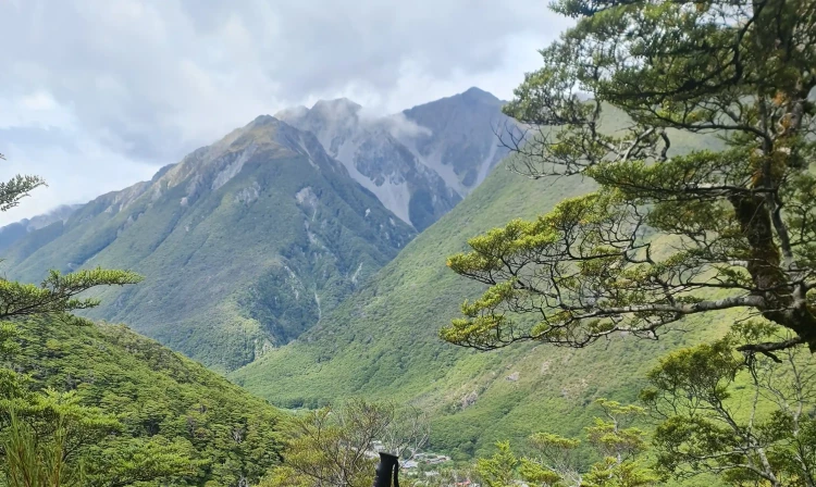
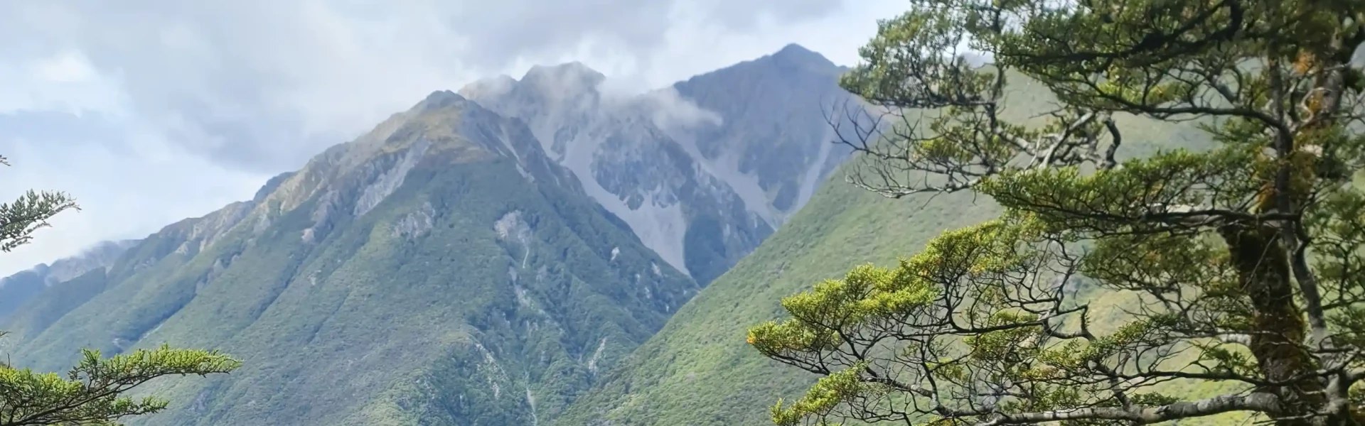
The track starts on the north side of Punchbowl Creek and climbs steeply along a narrow ridge to the bushline. It gains height quickly and is suited to people with good fitness. The ground is uneven, and you will need to scramble over tree roots in places. The track ends at the bushline. Above this point the terrain is very steep with bluffs and cliffs, which can be hidden by clouds. Do not try to reach the village or take alternative routes off-track in the bush or along streams, as there are dangerous cliffs. In winter, snow, freezing temperatures, and avalanche risk make this track more hazardous. Avalanche paths are not marked, and avalanches can cross the track. Check the NZ Avalanche Advisory before you attempt. There is no track to the Mount Cassidy summit. Only experienced and well-equipped trampers should attempt to go beyond the bushline after speaking with local DOC staff. The summit requires advanced alpine skills, including route-finding, map reading, and survival experience. Be prepared to turn back if the weather worsens or navigation becomes difficult. Avalanche Peak Route is an alternative with marked routes to the summit, but it also requires good weather, fitness, and preparation.
This track is steep and rugged and suited for experienced trampers only. Follow the orange markers and stay on the track. Share your plans with a trusted contact. Be prepared for delays or an unexpected night out. Carry warm and waterproof clothing, an emergency shelter, spare food, a torch with extra batteries, a distress beacon, and a fully charged mobile phone. Walking above the bushline requires extra caution. There is no marked track above the bushline, so seek advice from Arthur’s Pass Visitor Centre before going. Take a compass and map, and know how to use them. Wear sturdy footwear, a waterproof parka, and spare warm clothing including gloves and headwear. Check the Arthur’s Pass National Park weather forecast before you go. Walking above the bushline should only be done in good weather with clear visibility. Above the bushline you are exposed to severe mountain conditions. Rain, storms, or low cloud make navigation difficult and conditions dangerous. In winter, expect snow, ice, and avalanche risk. Carry an ice axe, crampons, an avalanche transceiver, probe, and shovel, and have avalanche assessment skills. One or more avalanche paths cross this track, and avalanches are more likely after heavy snow or rain. The avalanche paths are not marked. For guidance, see the NZ Avalanche Advisory video series “Avalanche Tips and Terms: From the forecast to the field.”
Start on the Devils Punchbowl Walking Track at the northern end of Arthur's Pass village, just off SH73. Use this location on Google Maps to help find your way there.
We encourage you to continue gaining the skills and knowledge required for a safe trip. The NZ Mountain Safety Council has lots of free resources and information you can use. These can be accessed via www.mountainsafety.org.nz . We recommend trying these online learning tools: Trip Planning Tramping / field Skills Basic Navigation River Safety Additionally, check out the range of helpful videos available from the NZ Mountain Safety Council YouTube channel
No dogs.
Track information, access and weather can change. Confirm current alerts and land-manager information close to departure, tell someone your plans, and carry equipment appropriate for the route and conditions.