10 October 2026
Mostly cloudy. Showers developing this afternoon, possibly heavy about the ranges. Northeasterlies, becoming strong in exposed places this afternoon.
Loading outdoor place details…
Westland Tai Poutini National Park
This popular tramp has river and mountain views, spectacular forest and natural hot pools.
Distance
18 km
Walking time
7 hr one way
Difficulty
Intermediate
Dogs
Not allowed
Wheelchair access
Not marked friendly
Current status
No active alerts found. Conditions can still change, so check again before leaving.
Weather outlook
Issued 10 Oct 2026, 10:55 am
10 October 2026
Mostly cloudy. Showers developing this afternoon, possibly heavy about the ranges. Northeasterlies, becoming strong in exposed places this afternoon.
11 October 2026
Occasional rain clearing in the afternoon, then partly cloudy. Northeasterlies, dying out in the afternoon.
12 October 2026
Fine. Northerlies developing for a time in the afternoon.
13 October 2026
Rain becoming persistent in the morning. Light winds.
14 October 2026
Rain with heavy falls easing to a few showers in the afternoon. Light winds.
Regional guidance only; elevation and terrain can produce different conditions.
Explore the area
Explore the track route and surrounding area before you set out.
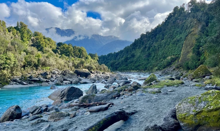
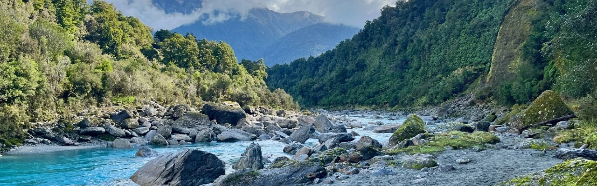
Time required : 7 hours each way. The Copland Track was built by the Tourist and Health Resorts Department to provide a tourist route across the Southern Alps linking the West Coast with the Hermitage, a popular lodge at Mt Cook. Because of glacier retreat and subsequent erosion, the track no longer continues beyond Copland Pass or over to the Hooker Glacier. To begin, cross Rough Creek to the orange marker on the other side, then follow the well-formed path through the forest. If Rough Creek is flooded, all unbridged side creeks on the walk will also be in flood and you will not be able to cross them safely. Do not start the walk in these conditions. From the other side, the track is marked across open areas and river crossings by orange triangle markers. From the confluence of the Karangarua River to Architect Creek, the track alternates mostly between boulder hopping on rocky riverbed and forest tracks, with occasional grassy clearings. Architect Creek is roughly halfway to Welcome Flat. Beyond Architect Creek the track climbs very gradually towards Palaver Creek as the valley narrows. The climb becomes more noticeable once you have crossed Open Creek. After crossing the Shiels Creek bridge there is a short zigzag to the highest point of the track, after which you descend through forest before emerging at Welcome Flat Hut. The hot pools are just a short stroll from the hut with fine views of the Sierra Range on a clear day. These pools are a fragile environment so please do not use soap or shampoo or dig more pools.
Because of the terrain and conditions, the track is suitable for well-equipped and experienced backcountry trampers only. This valley is subject to flooding at any time of year. Do not attempt this trip in bad weather or when rain is forecast. If rivers and side streams are in flood, do not attempt to cross. The Copland River can flood sections of track making it impassable. There are two active landslide areas to be crossed on the track to Welcome Flat Hut. The landslide areas are approximately 30 minutes upstream of Architect Creek, and on the true left of Shiels Creek. Both are signposted. Due to unstable slopes, you will need to take particular care during and just after heavy rain.
Bookings are required for Welcome Flat Hut and campsite.
Access is off SH 6, 26 km south of Fox Glacier. The turn-off to the car park is well signposted on the northern side of the Karangarua River bridge. Drive approximately 150 m down the gravel road to the car park. Use this location in Google Maps to find your way there. Buses pass the road end each morning and afternoon and will drop off and pick up pre-booked passengers.
We encourage you to continue gaining the skills and knowledge required for a safe trip. The NZ Mountain Safety Council has lots of free resources and information you can use. These can be accessed via www.mountainsafety.org.nz . We recommend trying these online learning tools: Trip Planning Tramping / field Skills Basic Navigation River Safety Additionally, check out the range of helpful videos available from the NZ Mountain Safety Council YouTube channel .
Very heavy rain from the west is common and causes rivers to rise rapidly and make side creeks unsafe to cross. Strong winds from the northwest are also prevalent when rain is expected. The first side creek crossing (Rough Creek) is next to the carpark. If this is running high, all unbridged side creeks on the walk will also be running high and you will not be able to cross them safely. Do not start the walk in these conditions. There is a flood bridge across Rough Creek for emergency use to exit the valley (located 45 minutes upstream from the car park).
No dogs.
Track information, access and weather can change. Confirm current alerts and land-manager information close to departure, tell someone your plans, and carry equipment appropriate for the route and conditions.