10 October 2026
Cloud about northern faces. Rain developing at night, possibly heavy.
Loading outdoor place details…
Te Papa-Kura-o-Taranaki
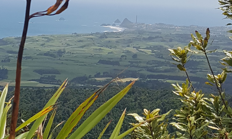
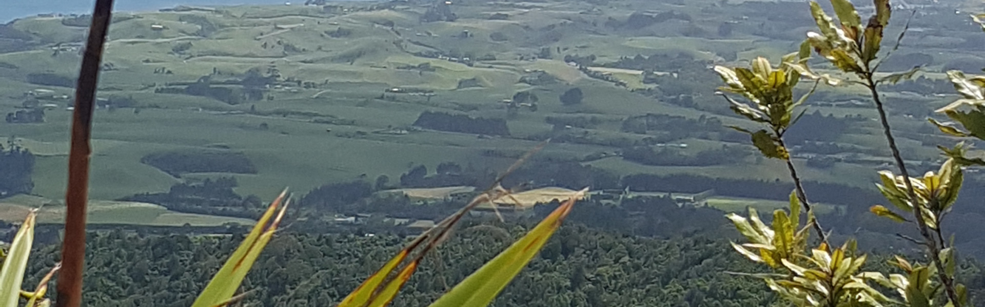
Follow Davies Track to Patuhā Trig to get great views of the coastline and Taranaki Maunga. You can combine it with the Waimoku Track.
Distance
4.2 km
Walking time
2 hr to trig
Difficulty
Advanced
Dogs
Not allowed
Wheelchair access
Not marked friendly
Current status
No active alerts found. Conditions can still change, so check again before leaving.
Weather outlook
Issued 10 Oct 2026, 9:23 pm
10 October 2026
Cloud about northern faces. Rain developing at night, possibly heavy.
11 October 2026
Showers, possibly heavy with thunderstorms and snow to 2000 metres, easing in the morning and clearing in the afternoon. Cloud remaining about western faces.
12 October 2026
A few showers, more persistent in the morning and afternoon.
13 October 2026
Showers, some possibly heavy.
14 October 2026
Showers.
Regional guidance only; elevation and terrain can produce different conditions.
Explore the area
Explore the track route and surrounding area before you set out.
For the first 15 minutes, the trail crosses a private farm property, following orange marker poles over fence stiles and across paddocks. After climbing a stile into the bush, look for the first of the 31 numbered traps that line the track up to the summit trig. It's a moderate ascent through the bush. About an hour in, the track steepens, becoming more challenging to navigate. After another 15 minutes, the trail veers west and climbs directly toward the summit, requiring hands and feet for balance on rooty, muddy slopes. At the Patuha summit clearing, nearly 360-degree views stretch from the Kaitake Range to the Tasman Sea, with Mt Taranaki towering to the southeast and, on the horizon, possibly a glimpse of Mt Ruapehu. The track continues east to join the Waimoku Track or the Sefton Ridge Track with both ending up at Lucy’s Gully—an option if a car shuttle is arranged. Otherwise, return the way you came.
The Kaitake Range is the backdrop to the township of Oakura. From New Plymouth, follow Devon Street West south, continuing on coastal State Highway 45, 5 km past Oakura. Turn left again into Surrey Hill Road to get to the start of Davies Track. It’s about a 20 minute drive from New Plymouth. Use this location in Google Maps to help find your way there.
We encourage you to continue gaining the skills and knowledge required for a safe trip. The NZ Mountain Safety Council has lots of free resources and information you can use. These can be accessed via www.mountainsafety.org.nz . Level up in your outdoor knowledge with these interactive online learning tools: Trip Planning Tramping / field Skills Basic Navigation River Safety Additionally, check out the range of helpful videos available from the NZ Mountain Safety Council YouTube channel .
No dogs.
Track information, access and weather can change. Confirm current alerts and land-manager information close to departure, tell someone your plans, and carry equipment appropriate for the route and conditions.