
11 October 2026
Partly cloudy, few showers developing late evening.
Loading outdoor place details…
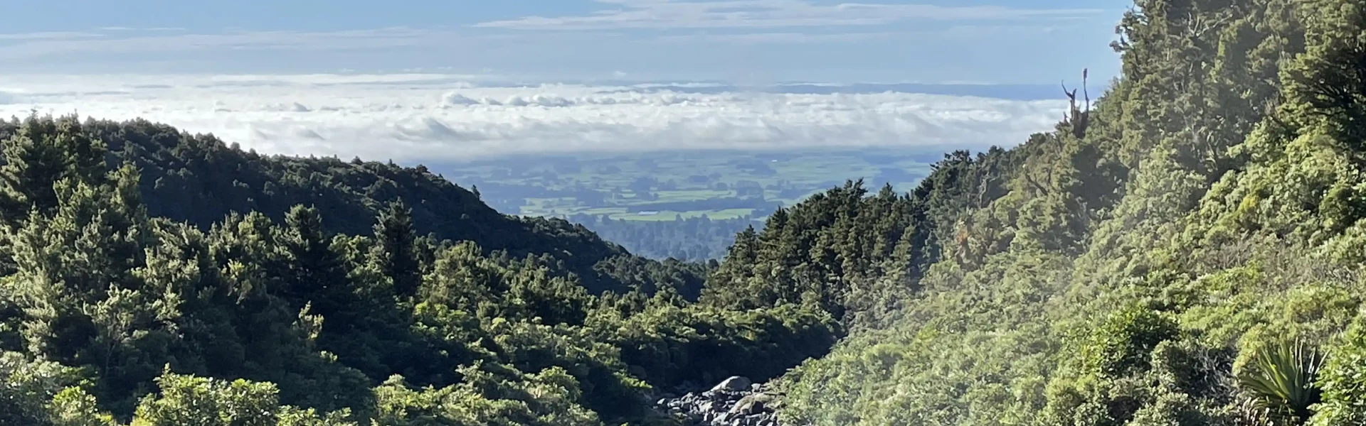
Dawson Falls area
Walk one way from Dawson Falls to Stratford Plateau or complete a circuit back to Dawson Falls.
Distance
7.8 km
Walking time
1 hr 20 min one way | 3 hr 30 min - 4 hr return
Difficulty
Advanced
Dogs
Not allowed
Wheelchair access
Not marked friendly
Current status
Weather outlook
Issued 11 Oct 2026, 9:23 pm
11 October 2026
Partly cloudy, few showers developing late evening.
12 October 2026
Cloud about the terrain lifting in the morning and becoming mainly fine. Isolated afternoon showers then clouding over again in the evening with late drizzle.
13 October 2026
Showers, some heavy in the morning.
14 October 2026
Showers turning to heavy rain.
15 October 2026
Showers, some heavy, falling as snow above 1200 metres.
Regional guidance only; elevation and terrain can produce different conditions.
Explore the area
Explore the track route and surrounding area before you set out.
Time: 1 hr 20 min to the Plateau Distance: 3.1 km Take the Wilkies Pools Loop Track from the car park, walking through forest before arriving at the series of pools and cascades scoured out of the lava. Continue past the pools until you come to the junction with the high level Around the Mountain Track, turn left toward the Plateau and climb northeast into mountain totara and cedar before emerging in subalpine scrub near The Plateau car park at East Egmont. There is a toilet, picnic spot and lookout here, but no public shelter.
Time: 3 hr 30 min - 4 hr return Distance: 7.8 km Begin the loop by following the Wilkies Pools Loop Track from the car park, continuing on toward the Stratford Plateau. From there, descend the steep Enchanted Track, which leads to the base where you'll turn toward Waingongoro Hut. Cross the 24 m high swingbridge over the Waingongoro Stream, then either take a 5-minute detour to Waingongoro Hut or climb steadily uphill to the Ridge Track junction. Follow the signs from the junction to return to the visitor centre. Note that the track includes overgrown sections (particularly on the Enchanted Track), areas of erosion, and unbridged stream crossings. The swingbridge can be a challenge for some due to its height above the stream.
These tracks start in Dawson Falls. Starting in Stratford, turn off SH23 into Celia Street, which becomes Opunake Road. Follow this for 14 km, then turn right into Manaia Road. Continue on this road for 9 km up the mountain to Dawson Falls Visitor Centre. Use this link on Google Maps to help find your way there.
We encourage you to continue gaining the skills and knowledge required for a safe trip. The NZ Mountain Safety Council has lots of free resources and information you can use. These can be accessed via www.mountainsafety.org.nz . We recommend trying these online learning tools: Trip Planning Tramping / field Skills Basic Navigation River Safety Additionally, check out the range of helpful videos available from the NZ Mountain Safety Council YouTube channel
No dogs.
Track information, access and weather can change. Confirm current alerts and land-manager information close to departure, tell someone your plans, and carry equipment appropriate for the route and conditions.