10 October 2026
Cloud about northern faces. Rain developing at night, possibly heavy.
Loading outdoor place details…
Te Papa-Kura-o-Taranaki
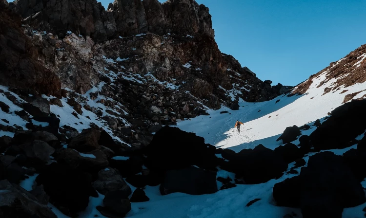
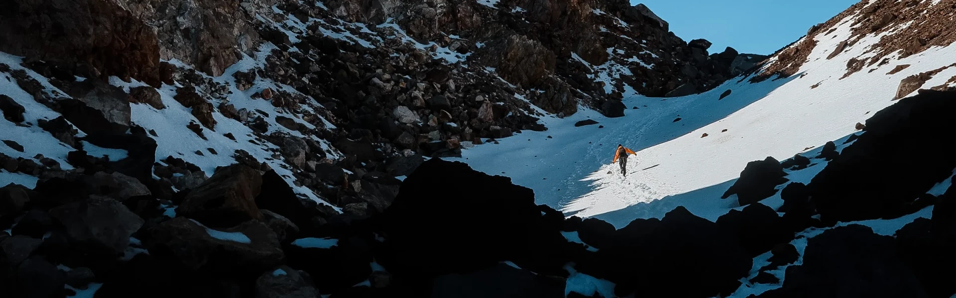
From January to April, fit and well-equipped trampers can enjoy spectacular scenery from the summit of Taranaki Maunga. From May to December, the mountain is covered in snow and ice - mountaineering experience and equipment is required.
Distance
12 km
Walking time
Up 5–6 hr | down 3–4 hr
Difficulty
Advanced, Expert
Dogs
Not allowed
Wheelchair access
Not marked friendly
Current status
Weather outlook
Issued 10 Oct 2026, 9:23 pm
10 October 2026
Cloud about northern faces. Rain developing at night, possibly heavy.
11 October 2026
Showers, possibly heavy with thunderstorms and snow to 2000 metres, easing in the morning and clearing in the afternoon. Cloud remaining about western faces.
12 October 2026
A few showers, more persistent in the morning and afternoon.
13 October 2026
Showers, some possibly heavy.
14 October 2026
Showers.
Regional guidance only; elevation and terrain can produce different conditions.
Explore the area
Explore the track route and surrounding area before you set out.
From the Visitor Centre, the Summit Track follows the boardwalk up to a locked gate. Cross the stile and continue up the gravel Translator Road (walking access only) to the privately owned Tahurangi Lodge. Sections of this track are very steep. There is a public toilet 100 m below the lodge and a small day shelter room at the lodge. Be prepared for this to take 1 ½ hours, as you’ll be gaining over 500m of vertical elevation over this section. From Tahurangi Lodge, the track continues upwards via a poled route through the rock-covered Hongi Valley. A series of steps leads out of the valley onto steep scoria (gravel) slopes. Be aware of rockfall through this area. Continue uphill to the Lizard (2134m), a prominent rocky ridge which leads you to the crater’s summer entrance. A narrow rocky ledge leads down into the crater. It has a steep drop-off and can be icy at any time year - extreme caution is required. The route then crosses the crater ice to the final short climb up to the summit rock. There is ice in the crater all year round - crampons and/or an ice axe may be required to cross the crater at any time. On the map, the summit looks very close from Tahurangi Lodge, as it is only 2.3km away, but the track is very challenging and has over 1000 metres of elevation gain, so you’ll need to allow 3 to 4 hours. Return the way you came up. This won't take as long, but you'll need to take extra care on the scree descent. Sinking your heels into the scree and jogging down is often easier than trying to walk. Consider taking walking poles to help your stability.
This is a full day strenuous hike – allow plenty of time and leave early. There is no water available on the track – take plenty with you. The only toilet is 100 m below Tahurangi Lodge – use it when you go past. Be prepared to turn back if you are finding the climb too difficult or if the weather deteriorates - thick cloud can descend at short notice, making navigation difficult. Above Tahurangi Lodge, numbered marker poles lead to the summit and give you an indication of how far you have to go. It's also good information to give emergency services if you find yourself in trouble. Ensure you take your mobile phone as reception is possible for most of the track. Respect the mountain: Do not stand directly on the summit peak, and do not camp, cook, toilet or litter in the summit area. Taranaki Mounga is a mauri, or life force and a spiritual tupuna or ancestor for Taranaki Māori.
The track starts in North Egmont. From New Plymouth, follow SH3 for 13 km to Egmont Village. Turn onto Egmont Road and follow this up the mountain to North Egmont. Use this location in Google Maps to find your way there. Parking at North Egmont is limited during summer, so get there early or arrange a shuttle. Although no scheduled transport service exists, shuttles can be arranged through several local transport providers. Contact Taranaki Visitor Centre for contact details. An alternate starting point is from the Stratford Plateau car park at East Egmont. Use this location in Google Maps to find your way there. After parking your car, follow signs across the ski field toward Tahurangi Lodge to join the Summit Track. This takes around 1 hour 30 minutes.
We encourage you to continue gaining the skills and knowledge required for a safe trip. The NZ Mountain Safety Council has lots of free resources and information you can use. These can be accessed via www.mountainsafety.org.nz . We recommend trying these online learning tools: Trip Planning Tramping / field Skills Basic Navigation Additionally, check out the range of helpful videos available from the NZ Mountain Safety Council YouTube channel .
Taranaki can be a very windy spot; this is more likely as you gain elevation and especially exposed above the treeline. This can develop strong wind chill conditions, even in the summer months. Taranaki is a lone mountain, so it is exposed to weather from all sides. Passing frontal systems can drop a lot of rain on the mountain in a short period causing rivers and side streams to rise rapidly. There can still be snow/ice present at higher elevations well into summer and new snow may fall at any time of year.
No dogs.
Track information, access and weather can change. Confirm current alerts and land-manager information close to departure, tell someone your plans, and carry equipment appropriate for the route and conditions.