10 October 2026
Cloud about northern faces. Rain developing at night, possibly heavy.
Loading outdoor place details…
Dawson Falls area
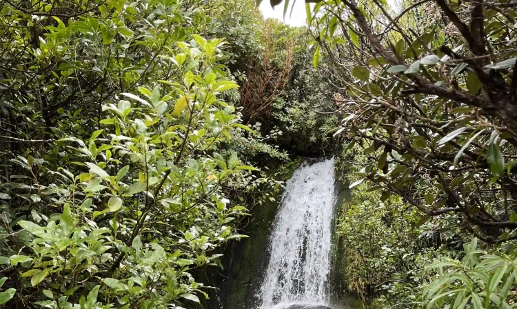
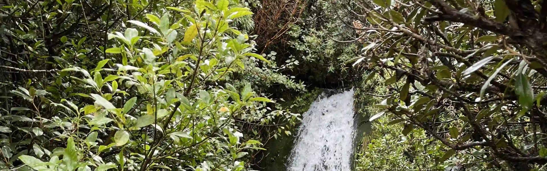
Walk through spectacular goblin forest to lava-formed pools that are good for a dip – this walk is suitable for children with plenty to keep them interested.
Distance
2.45 km
Walking time
1 hr 20 mins
Difficulty
Easy
Dogs
Not allowed
Wheelchair access
Friendly
Current status
Weather outlook
Issued 10 Oct 2026, 9:23 pm
10 October 2026
Cloud about northern faces. Rain developing at night, possibly heavy.
11 October 2026
Showers, possibly heavy with thunderstorms and snow to 2000 metres, easing in the morning and clearing in the afternoon. Cloud remaining about western faces.
12 October 2026
A few showers, more persistent in the morning and afternoon.
13 October 2026
Showers, some possibly heavy.
14 October 2026
Showers.
Regional guidance only; elevation and terrain can produce different conditions.
Explore the area
Explore the track route and surrounding area before you set out.
The wheelchair-friendly track winds through ‘goblin forest’ before crossing a bridge over the Kapuni Stream to reach the small lava-formed Wilkies Pools. These pools were named after the Wilkies brothers who farmed locally. Families may want to return the same way as continuing around the loop requires some rock hopping across Kapuni Stream. From the pools, an easy (but not wheelchair or buggy-suitable) track continues around the loop, turning right at the junction with Ridge Track to enjoy multiple small waterfalls, bubbling springs and the intake weir for the power station. Beware that after rain the track will be muddy in places. Take care when crossing the Kāpuni Stream as the river bank may be eroded, making access difficult. There is also no bridge across this stream, which may make it impassable after heavy rain.
Start from the Dawson Falls Visitor Centre. Use this link on Google Maps to help find your way there.
We encourage you to continue gaining the skills and knowledge required for a safe trip. The NZ Mountain Safety Council has lots of free resources and information you can use. These can be accessed via www.mountainsafety.org.nz . We recommend trying these online learning tools: Trip Planning Tramping / field Skills Basic Navigation River Safety Additionally, check out the range of helpful videos available from the NZ Mountain Safety Council YouTube channel .
No dogs
Track information, access and weather can change. Confirm current alerts and land-manager information close to departure, tell someone your plans, and carry equipment appropriate for the route and conditions.