9 October 2026
Partly cloudy. Isolated showers in the afternoon and evening.
Loading outdoor place details…
Fiordland National Park
This challenging tramping route from the Hollyford Road climbs the slope to meet the Routeburn Track near Harris Saddle.
Distance
3.3 km
Walking time
5 hr one way
Difficulty
Expert
Dogs
Not allowed
Wheelchair access
Not marked friendly
Current status
Weather outlook
Issued 8 Oct 2026, 9:24 pm
9 October 2026
Partly cloudy. Isolated showers in the afternoon and evening.
10 October 2026
Fine, then a few showers developing in the afternoon.
11 October 2026
A few showers.
12 October 2026
Partly cloudy with isolated showers.
13 October 2026
Heavy rain developing, with snow to 2500 metres.
Regional guidance only; elevation and terrain can produce different conditions.
Explore the area
Explore the track route and surrounding area before you set out.
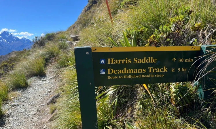
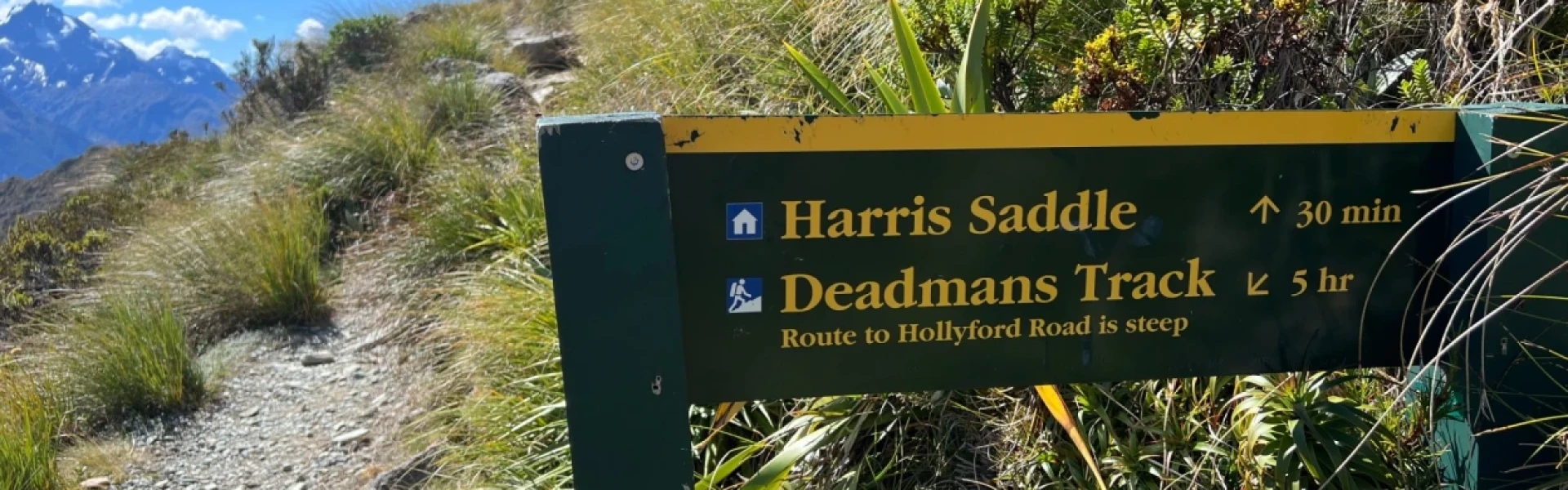
This is a challenging tramping route. From Hollyford Road, the track climbs steadily, taking approximately five hours to reach the Routeburn Track , about 30 minutes before Harris Saddle. There’s a small boggy section and two stream crossings that could be impassable after heavy rain. The route offers fantastic views over the Hollyford Valley and Fiordland mountains.
This is a route so you will need above average fitness and high level backcountry (remote areas) skills and experience, including navigation and survival skills. Note: If you plan to stay at huts or campsites along the Routeburn Track, bookings are required.
The track begins from the lower Hollyford Road, 2 km below Gunns Camp. To find the Hollyford Road, turn off from the Milford Road (SH94) at Marian Corner, a few minutes towards Milford Sound from The Divide. Marian Corner is about 87 km along the Milford Road from Te Anau. Use this location on Google Maps to help find your way there.
We encourage you to continue gaining the skills and knowledge required for a safe trip. The NZ Mountain Safety Council has lots of free resources and information you can use. These can be accessed via www.mountainsafety.org.nz . We recommend trying these online learning tools: Trip Planning Tramping / field Skills Basic Navigation River Safety Additionally, check out the range of helpful videos available from the NZ Mountain Safety Council YouTube channel
No dogs.
Track information, access and weather can change. Confirm current alerts and land-manager information close to departure, tell someone your plans, and carry equipment appropriate for the route and conditions.