09 October 2026
Cloudy, with patchy drizzle. Easterlies.
Loading outdoor place details…
Castlepoint Scenic Reserve
The track is open from the carpark to the base of Castle Rock.
Distance
2.92 km
Walking time
1 hr 30 min return
Difficulty
Easy
Dogs
On-lead only
Wheelchair access
Not marked friendly
Current status
Weather outlook
Issued 9 Oct 2026, 4:49 pm
09 October 2026
Cloudy, with patchy drizzle. Easterlies.
10 October 2026
Mostly cloudy with isolated showers. A few afternoon fine spells. Easterlies, turning northerly at night.
11 October 2026
A few showers, possibly heavy and thundery in the afternoon and evening. Northeasterlies, turning northwesterly in the morning.
12 October 2026
Partly cloudy. Light winds.
13 October 2026
Partly cloudy. Northwesterlies developing in the morning.
Regional guidance only; elevation and terrain can produce different conditions.
Explore the area
Explore the track route and surrounding area before you set out.
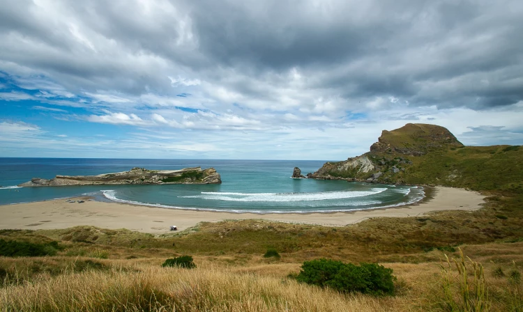
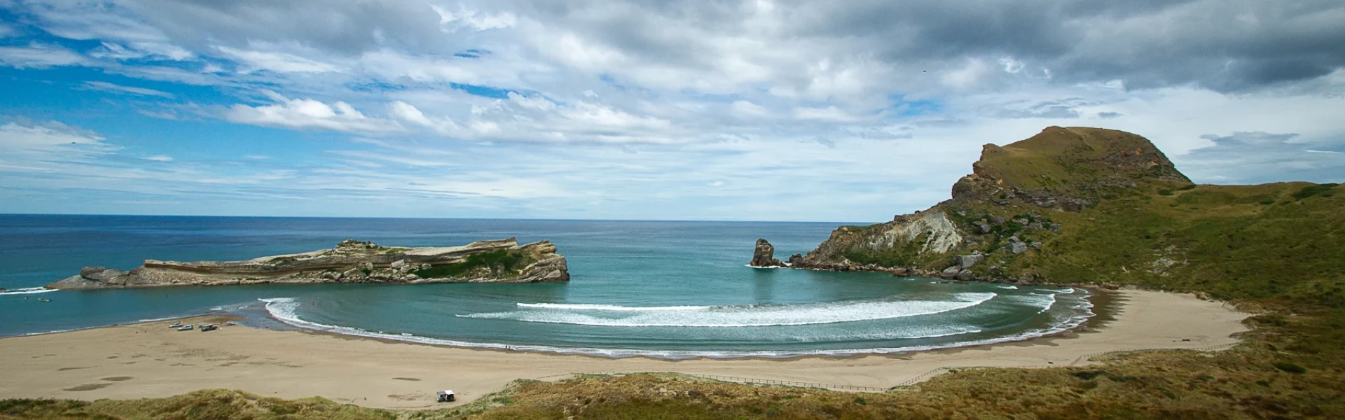
A pine forest track behind the Castlepoint Scenic Reserve lagoon climbs gently to the saddle viewpoint at the base of Castle Rock. Breath-taking views of the reef, lagoon and sea beyond await. From the viewpoint the track descends to the beach through a series of wooden steps. Return to the starting point along the lagoon edge.
Expect to find fur seals resting on the rocks at the bottom of the stairs. Give them space and do not approach them. The climb to Castle Rock is possible but not recommended. Track is unmarked and exposed to high winds. Castlepoint reef is highly dangerous. Rogue and tidal waves are unpredictable. Take extra care. Rockfall risk is present near Castle Rock Dogs are allowed on leash
From Masterton, head east on State Hwy 2. Turn right onto Te Ore Ore Rd (signs for Castlepoint/Riversdale/Hospital). Continue onto Masterton-Castlepoint Rd (signs for Castlepoint/Riversdale). Continue onto Jetty Rd Use this location in Google Maps to find your way there.
We encourage you to continue gaining the skills and knowledge required for a safe trip. The NZ Mountain Safety Council has lots of free resources and information you can use. These can be accessed via www.mountainsafety.org.nz . We recommend trying these online learning tools: Trip Planning Tramping / field Skills Basic Navigation River Safety Additionally, check out the range of helpful videos available from the NZ Mountain Safety Council YouTube channel .
Dogs on a leash only.
Track information, access and weather can change. Confirm current alerts and land-manager information close to departure, tell someone your plans, and carry equipment appropriate for the route and conditions.