11 October 2026
Showers, clearing in the afternoon, but cloud and drizzle remaining about western slopes.
Loading outdoor place details…
Holdsworth area
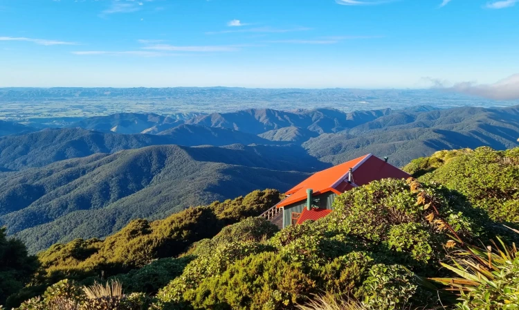
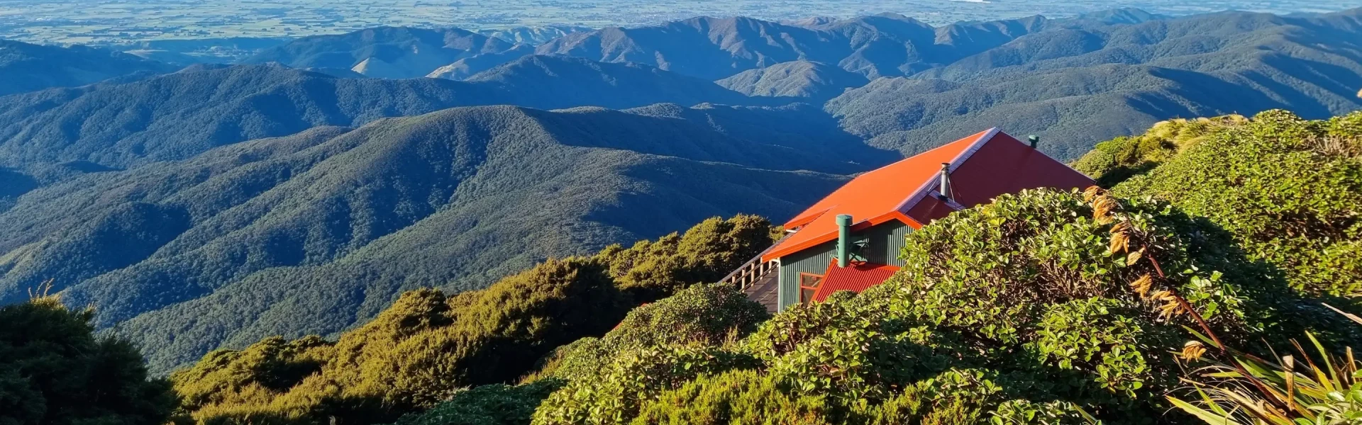
This tramp follows the Mount Holdsworth Track to Powell Hut. From the rocky outcrop below the hut you get a view of High Ridge and Totara Flats far below.
Distance
8.91 km
Walking time
Powell Hut: 5 hr one way, Mount Holdsworth: 6 hr one way
Difficulty
Intermediate
Dogs
Allowed — check local rules
Wheelchair access
Not marked friendly
Current status
Weather outlook
Issued 10 Oct 2026, 9:23 pm
11 October 2026
Showers, clearing in the afternoon, but cloud and drizzle remaining about western slopes.
12 October 2026
Fine, apart from morning drizzle. A few showers at night.
13 October 2026
Showers, some possibly heavy.
14 October 2026
Showers clearing.
15 October 2026
Showers, some possibly heavy.
Regional guidance only; elevation and terrain can produce different conditions.
Explore the area
Explore the track route and surrounding area before you set out.
Powell Hut: 5 hours one way or 8 hours return Mount Holdsworth: 6 hours to the top Starting out at Holdwsorth carpark, begin by following the Gentle Annie Track up to Rocky Lookout. It takes most walkers around an hour to Rocky Lookout and another 30 minutes beyond that to Mountain House Shelter. Beyond Mountain House Shelter, continue on the Mount Holdsworth Track. It climbs through beech forest that reduces as the bushline and Powell Hut is approached (1200 metres) and takes another hour or so depending on fitness. Just below the hut, a rocky outcrop gives an excellent view of High Ridge and Totara Flats far below in the Waiohine valley. Another 15 - 20 minutes and you'll be at Powell Hut. From there, the route to the summit of Mount Holdsworth (1470 metres) is exposed to winds but otherwise straight-forward, so long as you can see more than a few metres in front of you!
Just below the hut, the rocky outcrop has been challenging for younger trampers in the past. The installation of stairs have made this much easier. The route to the summit of Mount Holdsworth is exposed to winds but otherwise straight-forward.
Powell Hut is a well-equipped hut on the Mt Holdsworth - Jumbo Circuit, and a popular winter destination for fitter day visitors because it is probably the quickest route to reach the snow-covered tops of the Tararua Range. Holdsworth Campsite at the beginning of this walk is suitable for camping. There is also a bookable lodge at the campsite.
Turn off State Highway 2 on to Norfolk Road, 2 km south of Masterton. This leads to Mount Holdsworth Road. Holdsworth is 15 km from State Highway 2. Follow the Gentle Annie Track on the Holdsworth - Kaitoke Track to Mountain House Shelter. Use this location in Google Maps to find your way there.
We encourage you to continue gaining the skills and knowledge required for a safe trip. The NZ Mountain Safety Council has lots of free resources and information you can use. These can be accessed via www.mountainsafety.org.nz . We recommend trying these online learning tools: Trip Planning Tramping / field Skills Basic Navigation River Safety Additionally, check out the range of helpful videos available from the NZ Mountain Safety Council YouTube channel .
Dogs allowed. Keep dog under control at all times.
Track information, access and weather can change. Confirm current alerts and land-manager information close to departure, tell someone your plans, and carry equipment appropriate for the route and conditions.