09 October 2026
Fine, then low cloud or fog at night. Southerlies dying out early evening.
8° / 20°
Loading outdoor place details…
Invercargill area
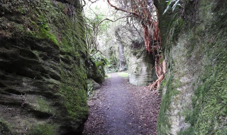
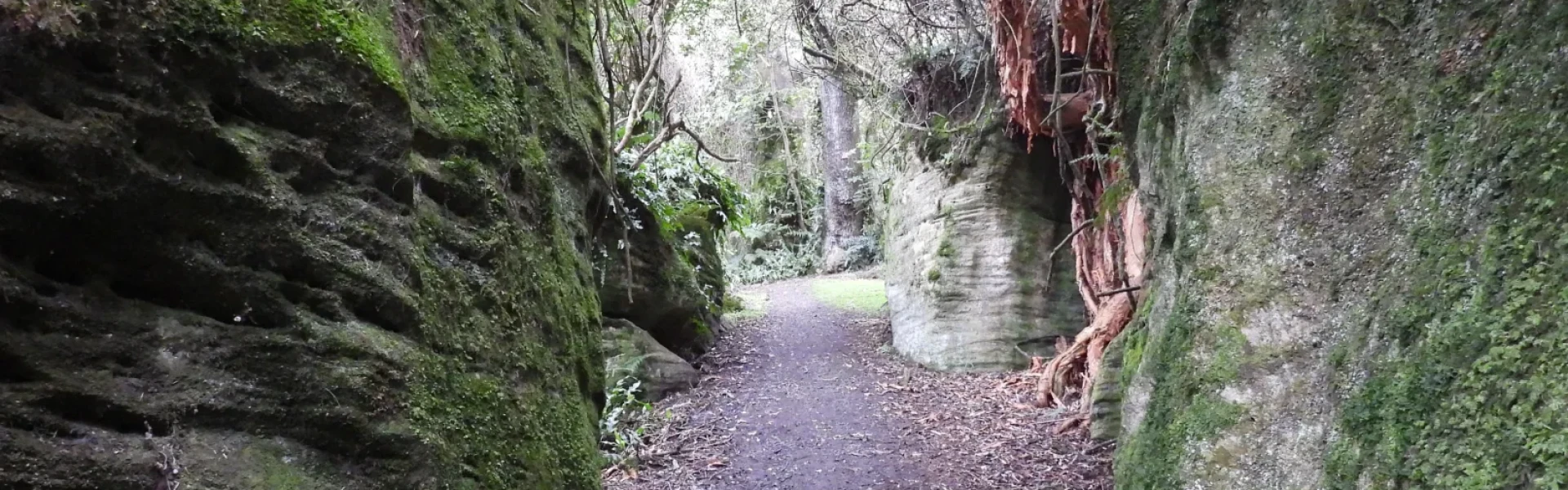
Just a short drive from Invercargill, this track is well gravelled and graded. You'll see ancient podocarps, abundant birdlife and weather worn limestone boulders.
Distance
5.5 km
Walking time
2 hrs each way or 30 mins loop walk
Difficulty
Easiest
Dogs
On-lead only
Wheelchair access
Not marked friendly
Current status
No active alerts found. Conditions can still change, so check again before leaving.
Weather outlook
Issued 9 Oct 2026, 7:36 pm
09 October 2026
Fine, then low cloud or fog at night. Southerlies dying out early evening.
8° / 20°
10 October 2026
Low cloud or fog in the morning and again at night, otherwise partly cloudy with the odd shower. Easterlies for a time in the afternoon.
9° / 20°
11 October 2026
Fine, but becoming cloudy in the evening. Northerlies, turning southwesterly in the afternoon.
8° / 21°
12 October 2026
Fine. Northwesterlies developing in the morning.
10° / 22°
13 October 2026
A few showers becoming widespread in the afternoon. Northwesterlies, dying out in the evening.
7° / 19°
Regional guidance only; elevation and terrain can produce different conditions.
Explore the area
Explore the track route and surrounding area before you set out.
This is a well graded track with several moderately steep sections. Allow for 4 hours return, unless you can arrange for a vehicle pick up at the other end. Starting from the Tussock Creek end, the terrain is more gentle, though the track can be walked in either direction. There is also a dramatic section of weather worn limestone boulders along the way as well as a weta cave 10 min from the Forest Hill Crossing Road end. Be prepared for muddy patches, particularly in winter and spring.
You can also do a short loop track from Forest Hill Crossing Road. This 1.5 km loop takes around 30 minutes Passing through the same lush podocarp forest as the Derek Turnbull Track, the loop takes you up to a viewing platform around 200 metres above the Southland Plains.
Keep to the track as sink holes (collapsed limestone caves) are a feature of this landscape and could cause serious injury or death. At the Tussock Creek Picnic Area there is a large shelter with a kitchen bench, a toilet block, several picnic tables and a large grassy area for recreation and relaxation. At the Forest Hill North Picnic Area there is a single toilet and a smaller grassy area for recreation and relaxation.
Tussock Creek Picnic Area From Invercargill Central head north on SH6 for 19 km towards Winton. Turn right onto Wilsons Crossing Road (signs for Tussock Creek, Forest Hill Scenic Reserve.) Travel east for 7 km. Turn left onto Pettigrew road. Travel north for 2 km on Pettigrew road to reach the Tussock Creek Picnic Area carpark, which has a large gravelled carpark. Space is generally not a problem for vehicles. Use this location in google maps to find your way there. Forest Hill Crossing Road end From Invercargill head north on SH6 for 20 km towards Winton. Turn right onto Forest Hill Crossing Road (signs for Forest Hill Reserve.) Travel east for 7 km to reach the Forest Hill North carpark. The carpark is large and gravelled. Space is generally not a problem for vehicles. Use this location in google maps to find your way there.
We encourage you to continue gaining the skills and knowledge required for a safe trip. The NZ Mountain Safety Council has lots of free resources and information you can use. These can be accessed via www.mountainsafety.org.nz . We recommend trying these online learning tools: Trip Planning Tramping / field Skills Basic Navigation River Safety Additionally, check out the range of helpful videos available from the NZ Mountain Safety Council YouTube channel .
Dogs on a leash only.
Track information, access and weather can change. Confirm current alerts and land-manager information close to departure, tell someone your plans, and carry equipment appropriate for the route and conditions.