10 October 2026
Low cloud with patchy drizzle, but fine in the west. Cloud lifting to the tops and spreading everywhere in the morning, and a few showers developing in the afternoon.
Loading outdoor place details…
Holdsworth area
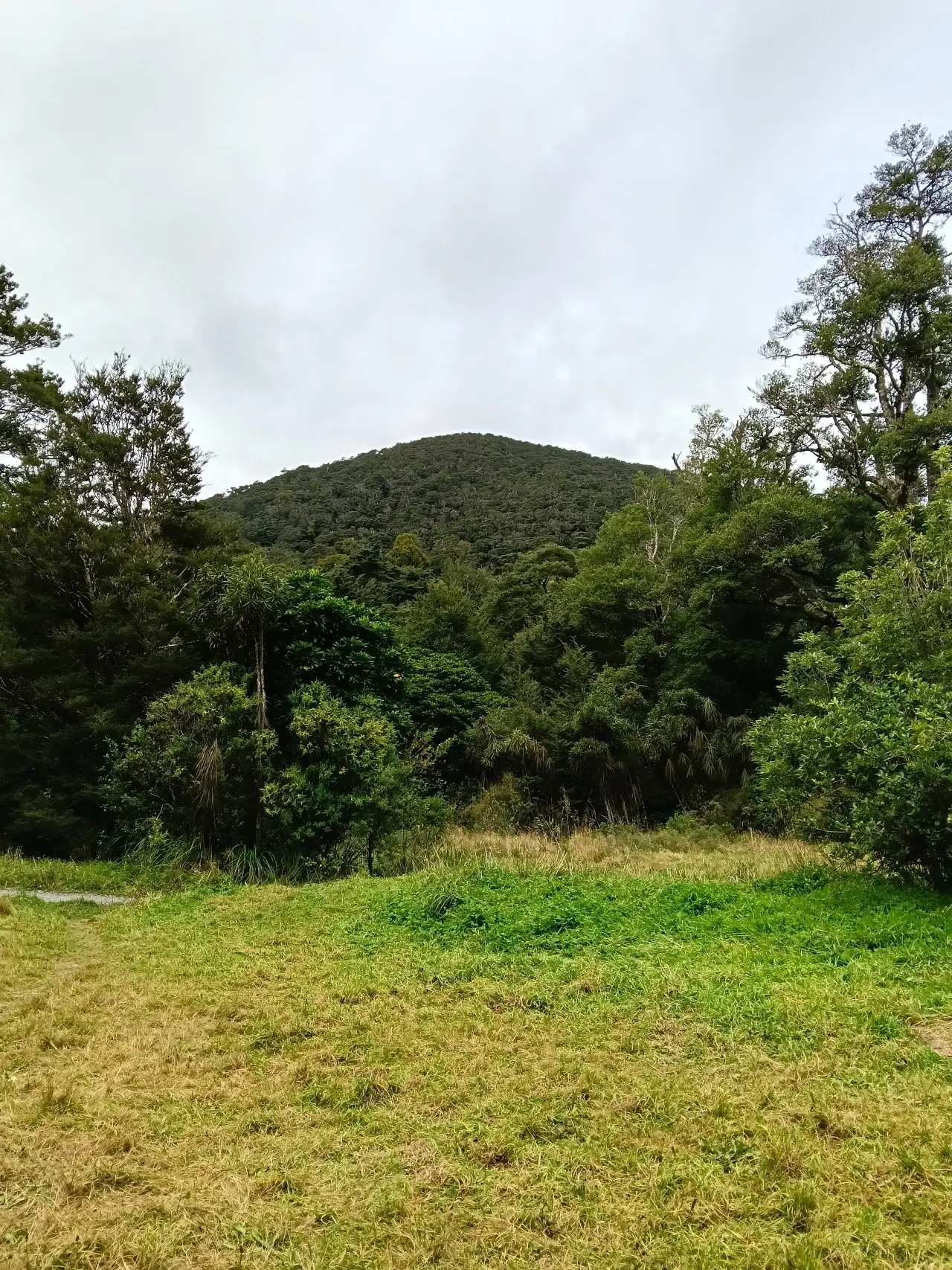
The track to Donnelly Flat passes through some of the best mixed podocarp/broadleaf forest in the Tararua Range - this short, easy walk with a picnic area and stream on route is an great option for kids.
Distance
3.6 km
Walking time
1 hr
Difficulty
Easy
Dogs
Allowed — check local rules
Wheelchair access
Not marked friendly
Current status
Weather outlook
Issued 10 Oct 2026, 7:33 am
10 October 2026
Low cloud with patchy drizzle, but fine in the west. Cloud lifting to the tops and spreading everywhere in the morning, and a few showers developing in the afternoon.
11 October 2026
A few showers, turning to rain for a time in the morning.
12 October 2026
Fine.
13 October 2026
Showers, some heavy, easing.
14 October 2026
Showers turning to heavy rain.
Regional guidance only; elevation and terrain can produce different conditions.
Explore the area
Explore the track route and surrounding area before you set out.
This short flat trail is suitable for the whole family. It passes through some of the best mixed podocarp and broadleaf forests in the Tararua Range. You’ll see rimu, miro and northern rata, along with kamahi, red beech, and silver beech. There’s access to the Atiwhakatu Stream along the way, as well as a picnic area and campsite. From the campsite, the track continues to Atiwhakatu Track junction. You can loop back to the car park via Gentle Annie Track .
The trail begins at the entrance to Tararua Forest Park on Mount Holdsworth Road. To get there, turn off State Highway 2 into Norfolk Road and follow the signs to Tararua Forest Park. Use this location on Google Maps to help find your way there.
We encourage you to continue gaining the skills and knowledge required for a safe trip. The NZ Mountain Safety Council has lots of free resources and information you can use. These can be accessed via www.mountainsafety.org.nz . We recommend trying these online learning tools: Trip Planning Tramping / field Skills Basic Navigation River Safety Additionally, check out the range of helpful videos available from the NZ Mountain Safety Council YouTube channel
Dogs allowed. Keep dog under control at all times.
Track information, access and weather can change. Confirm current alerts and land-manager information close to departure, tell someone your plans, and carry equipment appropriate for the route and conditions.