10 October 2026
Partly cloudy. The odd shower southeast of Dargaville in the morning, then rain developing in the evening, possibly heavy. Northeasterlies developing in the morning.
Loading outdoor place details…
Whangaroa area
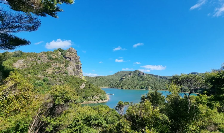
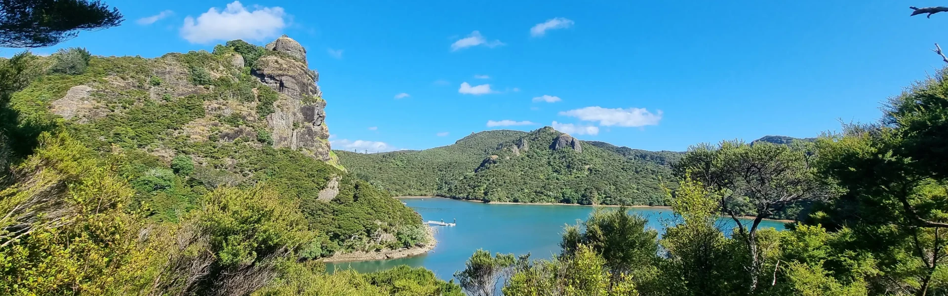
Take in spectacular views of Whangaroa Harbour from Duke's Nose.
Distance
0.5 km
Walking time
45 min one way
Difficulty
Intermediate
Dogs
Not allowed
Wheelchair access
Not marked friendly
Current status
Weather outlook
Issued 10 Oct 2026, 5:00 am
10 October 2026
Partly cloudy. The odd shower southeast of Dargaville in the morning, then rain developing in the evening, possibly heavy. Northeasterlies developing in the morning.
11 October 2026
Occasional rain, clearing for a time in the morning and afternoon. Northwesterlies.
12 October 2026
Partly cloudy with isolated showers. Westerlies.
13 October 2026
Mostly cloudy, with showers for a time. Westerlies developing in the morning.
14 October 2026
Partly cloudy. Northwesterlies.
Regional guidance only; elevation and terrain can produce different conditions.
Explore the area
Explore the track route and surrounding area before you set out.
The Duke’s Nose (Kaiaraara Rocks) track starts behind Lane Cove Hut and day shelter, Pekapeka Bay, Whangaroa Harbour. You can reach the track by land via the Wairakau Stream Track . If arriving by sea from Totara North, Whangaroa boat ramps or Ranfurly Bay, land at the day shelter, turn right, and follow the orange triangular DOC markers. The track follows the stream behind the hut towards the top of Duke’s Nose. The majority of the summit track winds steadily through manuka scrub in a gradual climb, though not overly steep. However, the real challenge comes in the final 50 meters, which feels more like rock climbing than tramping. DOC have installed two sturdy grab rails to replace the chains that were there, offering essential support for the ascent. With sections that are nearly vertical, confidence in your climbing skills is crucial for reaching the summit.
Stick to the DOC track as there are pest animal trapping lines in the forest. These are marked with flagging tape and markers. No camping allowed.
Lane Cove Hut
We encourage you to continue gaining the skills and knowledge required for a safe trip. The NZ Mountain Safety Council has lots of free resources and information you can use. These can be accessed via www.mountainsafety.org.nz . We recommend trying these online learning tools: Trip Planning Tramping / field Skills Basic Navigation River Safety Additionally, check out the range of helpful videos available from the NZ Mountain Safety Council YouTube channel
No dogs.
Track information, access and weather can change. Confirm current alerts and land-manager information close to departure, tell someone your plans, and carry equipment appropriate for the route and conditions.