11 October 2026
Showers, clearing in the afternoon, but cloud and drizzle remaining about western slopes.
Loading outdoor place details…
Tararua Forest Park
This challenging loop takes you to Herepai Hut, Dundas Hut, Cattle Ridge Hut, and Roaring Stag Hut. Good navigation and advanced tramping skills are required..
Distance
25.6 km
Walking time
3 days
Difficulty
Advanced, Expert
Dogs
Allowed — check local rules
Wheelchair access
Not marked friendly
Current status
No active alerts found. Conditions can still change, so check again before leaving.
Weather outlook
Issued 10 Oct 2026, 9:23 pm
11 October 2026
Showers, clearing in the afternoon, but cloud and drizzle remaining about western slopes.
12 October 2026
Fine, apart from morning drizzle. A few showers at night.
13 October 2026
Showers, some possibly heavy.
14 October 2026
Showers clearing.
15 October 2026
Showers, some possibly heavy.
Regional guidance only; elevation and terrain can produce different conditions.
Explore the area
Explore the track route and surrounding area before you set out.
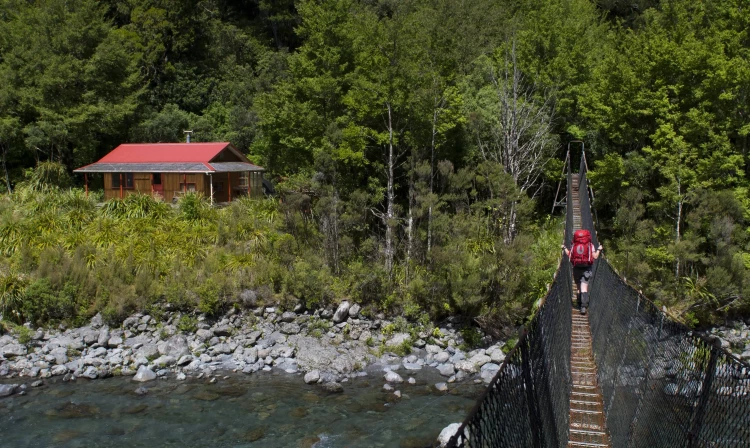
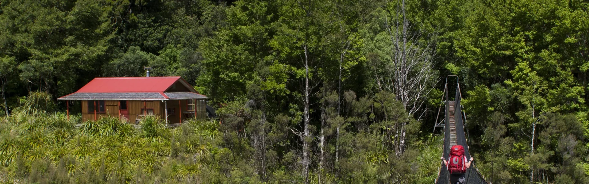
Putara Carpark to Herepai Hut A swingbridge crosses the Mangatainoka River 200 metres from the car park and the track follows the true left of the river to another, larger, swingbridge about 1.5km upstream. From here the track climbs steeply to Herepai Ridge where the track to the right leads 1.5km to Herepai Hut. Herepai Hut to Dundas Hut From Herepai, head up the ridge line. The track from here is not marked and is a route only, so you need access to take a map and compass or a downloaded gpx route on your device. It is slow going through the tussock. First main peak is East peak, before dropping down and up to West peak, and then coming across the sign to Dundas Hut, of which there is a drop of a few hundred metres to get to. Dundas Hut to Cattle Ridge Hut Return to the trail and continue down the ridge (steep, mud and tussock) to the valley below and the first river crossing. This may not be passable after rain. Continue up the ridge on the other side (there are now triangles to follow), to traverse the slope. This area is poorly marked but if you don't see a marker, return to where you lost it and use your map and compass/downloaded gpx file to find your way. This will then drop you out at Ruamahanga River Crossing. This may not be passable after rain. The trail continues straight up the next ridge and just continues up for 600metre gain with some steep scree sections. The trail will open up onto the Cattle Ridge Top. You can see the hut - careful finding your way there, the tussock and alpine plants are thick on the ground and the track is poorly marked. Cattle Ridge Hut to Roaring Stag Hut It is then a straight drop down the ridge to Roaring Stag Hut (you can see this from Cattle Ridge) with a swingbridge at the bottom. Roaring Stag Hut to Putara Carpark Follow the track to the turn off to Herepai Hut, take the right hand track, and retrace the track back to the carpark.
This is an advanced tramping track. Navigation and the weather are the main hazards. Ensure you have the correct gear, navigation skills, and have told someone of your intentions.
Dundas Hut Herepai Hut Cattle Ridge Hut Roaring Stag Hut
Park at the Putara Road Carpark which is a 25 minute drive from Eketāhuna. Use this location in Google Maps to find your way there.
We encourage you to continue gaining the skills and knowledge required for a safe trip. The NZ Mountain Safety Council has lots of free resources and information you can use. These can be accessed via www.mountainsafety.org.nz . Level up in your outdoor knowledge with these interactive online learning tools: Trip Planning Tramping / field Skills Basic Navigation River Safety Additionally, check out the range of helpful videos available from the NZ Mountain Safety Council YouTube channel .
Dogs allowed. Keep dog under control at all times.
Track information, access and weather can change. Confirm current alerts and land-manager information close to departure, tell someone your plans, and carry equipment appropriate for the route and conditions.