7 October 2026
Scattered rain.
Loading outdoor place details…
Fiordland National Park
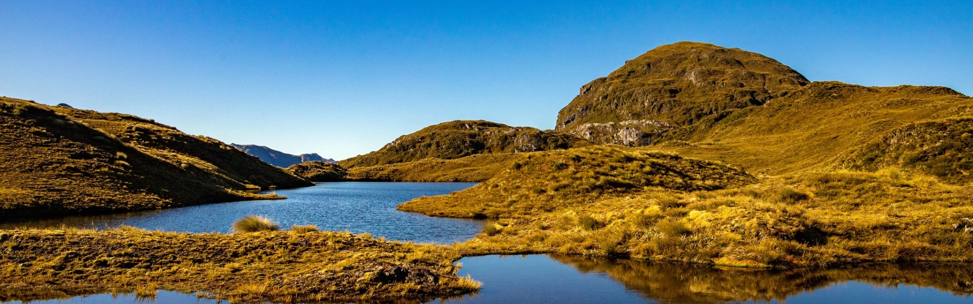
This difficult tramping track between Lake Hauroko and Lake Manapouri offers huge lakes, gushing rivers, vast forested valleys and lots of mud for experienced and well equipped trampers.
Distance
84 km
Walking time
8- 10 days
Difficulty
Advanced
Dogs
Not allowed
Wheelchair access
Not marked friendly
Current status
No active alerts found. Conditions can still change, so check again before leaving.
Weather outlook
Issued 7 Oct 2026, 9:23 pm
7 October 2026
Scattered rain.
8 October 2026
Scattered rain, clearing in the morning to fine breaks. Isolated afternoon and evening showers inland.
9 October 2026
Partly cloudy. A few showers in the afternoon and evening.
10 October 2026
Partly cloudy with isolated showers.
11 October 2026
Partly cloudy with isolated showers.
Regional guidance only; elevation and terrain can produce different conditions.
Explore the area
Explore the track route and surrounding area before you set out.
Time required : 8- 10 days Dusky Track crosses three major valley systems and two mountain ranges offering fantastic views over a vast Fiordland landscape. It is difficult but rewarding. The track can be walked in either direction - from Lake Hauroko to Lake Manapouri, or the other way. It also offers a two-day optional detour to Supper Cove in Tamatea/Dusky Sound. The track is reasonably well marked, but you need to know that: There are 21 three-wire bridges to cross. You can expect tree falls, knee-deep mud, river crossings, tree roots and some rough terrain. Some sections often become impassable due to flooding after heavy rain.
The Dusky Track is only recommended for experienced, well-equipped groups with high fitness level. Plan properly for your trip and ensure your party has a capable, experienced leader. We strongly recommend that you carry a Personal Locator Beacon or Satellite Messenger Device, and topographical maps for navigation. Take enough food, clothing and equipment, portable stoves and fuel. Allow extra food and time for possible delays (being stranded for 2 days is not uncommon). Take care with river crossings. Sections of the Dusky Track flood easily. If in doubt, sit it out . Common flood areas are just before Loch Maree (an emergency shelter exists on track from Lake Roe), and along the route to Supper Cove and from Loch Maree Hut to Kintail Hut. During winter, the track is often impassable and dangerous due to snow, ice and avalanches. Check at the Fiordland National Park Visitor Centre for conditions before you go. Topo50 series maps covering the Dusky Track are: CE05 Cooper Island, CE06 Lake Roe and CD06 Deep Cove.
Huts and other additional information is listed on DOC’s website.
To start from the north end (West Arm on Lake Manapouri), the Dusky Track can be reached by a daily boat service on Lake Manapouri. To start from the south (Lake Hauroko), a scheduled boat service on Lake Hauroko leads to the start of the track at the head of the lake. Use this location in Google Maps to find your way there. It is also possible to fly to or from Supper Cove in Tamatea/Dusky Sound or Lake Hauroko by floatplane or helicopter. For transport options contact the Fiordland National Park Visitor Centre or see transport services in Fiordland.
We encourage you to continue gaining the skills and knowledge required for a safe trip. The NZ Mountain Safety Council has lots of free resources and information you can use. These can be accessed via www.mountainsafety.org.nz . We recommend trying these online learning tools: Trip Planning Tramping / field Skills Basic Navigation River Safety Additionally, check out the range of helpful videos available from the NZ Mountain Safety Council YouTube channel .
No dogs.
Track information, access and weather can change. Confirm current alerts and land-manager information close to departure, tell someone your plans, and carry equipment appropriate for the route and conditions.