11 October 2026
Rain, heavy at times, easing to showers in the morning, then clearing to fine in the evening.
Loading outdoor place details…
Kahurangi National Park
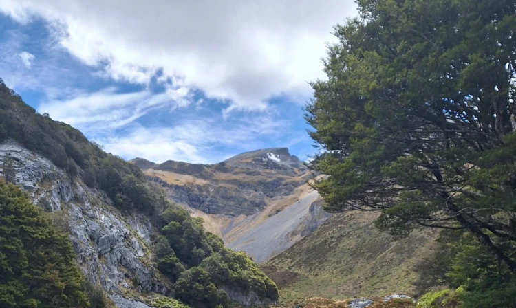
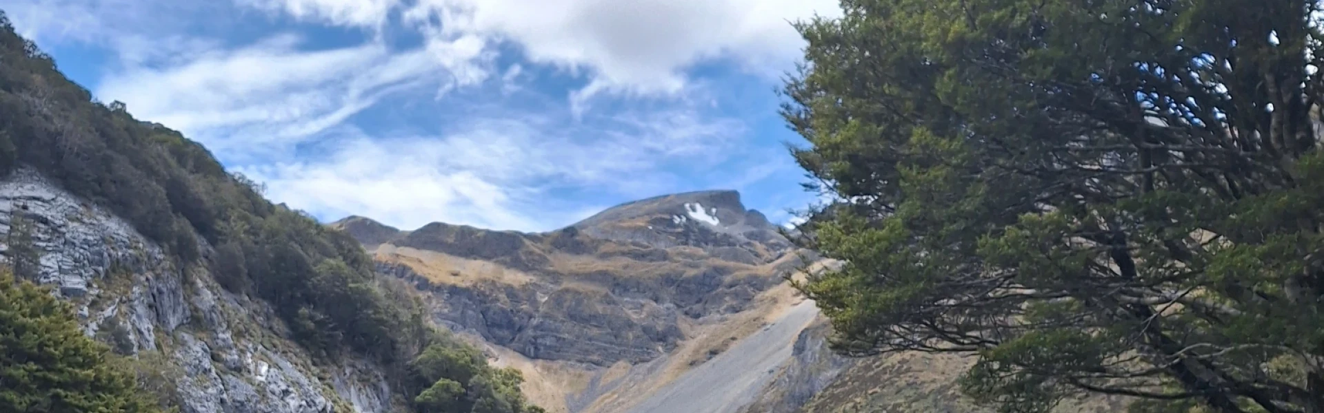
Enjoy extensive views of the Ellis Basin and the surrounding mountains on this track to Ellis Hut.
Distance
22 km
Walking time
2 days
Difficulty
Expert
Dogs
Not allowed
Wheelchair access
Not marked friendly
Current status
Weather outlook
Issued 10 Oct 2026, 9:23 pm
11 October 2026
Rain, heavy at times, easing to showers in the morning, then clearing to fine in the evening.
12 October 2026
Fine, but becoming mostly cloudy with isolated showers in the evening.
13 October 2026
A few showers.
14 October 2026
Rain, with heavy falls.
15 October 2026
Occasional rain.
Regional guidance only; elevation and terrain can produce different conditions.
Explore the area
Explore the track route and surrounding area before you set out.
From the Flora car park, start on the wide track in beautiful beech forest, taking a left to continue on the 1 hr 30 min (4.2 km) walk to Mt Arthur Hut. From there, continue along the ridge to the Mt Arthur summit, a 2–3 hr (5 km) climb offering expansive views across Kahurangi National Park. From the Mt Arthur ridge near Winter Peak, a signposted poled route leads down to Ellis Hut. The route follows the ridge before descending into Ellis Basin. The descent includes sections of rocky scree and steep, slippery terrain, so take care and allow plenty of time. Sturdy footwear is essential. At the base of the basin, cross an unbridged side stream before continuing down to Ellis Hut, located at the bush line. The section from the ridge to Ellis Hut takes around 1–2 hr (2.5 km).
From Ellis Hut, it’s a challenging 10.3 km tramp that takes around 5 hours 30 minutes to reach the Baton Valley Road end. The track follows the Ellis River, which must be crossed many time - all crossings are unbridged. Assess the river carefully before each crossing; if water levels are high, it will not be safe to proceed. The valley is steep-sided, and the track involves frequent climbs and descents, with sections requiring you to scramble over rocks and tree roots. This is a rough backcountry track, and you may encounter fallen trees and track damage. Allow extra time, as progress can be slower than expected.
Trampers should pack for extreme weather, as this trip is exposed and conditions can change rapidly. High winds, low visibility, heavy rain, and freezing temperatures can occur at any time of year , so check the forecast and carry plenty of warm and waterproof clothing. This is a remote area with no cell phone reception and few trampers, so always carry a distress beacon and an emergency shelter in case you are trapped by weather or high rivers. Exercise caution when crossing unbridged rivers. Only cross if it is safe and you can identify clear entry and exit points. Do not attempt to cross flooded rivers - wait for water levels to drop or turn back. If in doubt, stay out. Be careful if going off track. Ellis Basin features spectacular karst landscapes and deep cave systems, including tomos and unmarked cave entrances. Stick to the marked route or take extra care if exploring off-track.
Mt Arthur Hut Ellis Hut
Flora car park is 75 km from Nelson and 36 km from Motueka. The Motueka Valley Highway links Nelson and Motueka. Turn off this road at Ngātīmoti and cross the Motueka River. Turn left onto Motueka River West Bank Road, then right into Graham Valley Road. It is steep and narrow and prone to corrugations and slips . The last 5.8 km is unsealed and turning a vehicle on the road can be difficult. 4WD is recommended at all times of the year. Chains may be needed if snow and ice are present. Use this location on Google Maps to help find your way there.
We encourage you to continue gaining the skills and knowledge required for a safe trip. The NZ Mountain Safety Council has lots of free resources and information you can use. These can be accessed via www.mountainsafety.org.nz . Level up in your outdoor knowledge with these interactive online learning tools: Trip Planning Tramping / field Skills Basic Navigation River Safety Additionally, check out the range of helpful videos available from the NZ Mountain Safety Council YouTube channel .
No dogs.
Track information, access and weather can change. Confirm current alerts and land-manager information close to departure, tell someone your plans, and carry equipment appropriate for the route and conditions.