10 October 2026
Cloudy with hill fog about the tops. A few showers developing in the afternoon.
Loading outdoor place details…
Ōtaki Forks area
An easy walking track near Ōtaki. This track is part of Te Araroa Trail.
Distance
4 km
Walking time
1 hr 30 min - 2 hr
Difficulty
Easy
Dogs
Allowed — check local rules
Wheelchair access
Not marked friendly
Current status
Weather outlook
Issued 10 Oct 2026, 7:33 am
10 October 2026
Cloudy with hill fog about the tops. A few showers developing in the afternoon.
11 October 2026
Showers, possibly heavy, clearing in the afternoon with increasing fine spells. Low cloud and drizzle developing on western slopes in the evening.
12 October 2026
Fine, apart from morning drizzle. A few showers at night.
13 October 2026
Showers, some possibly heavy.
14 October 2026
Rain, with heavy falls.
Regional guidance only; elevation and terrain can produce different conditions.
Explore the area
Explore the track route and surrounding area before you set out.
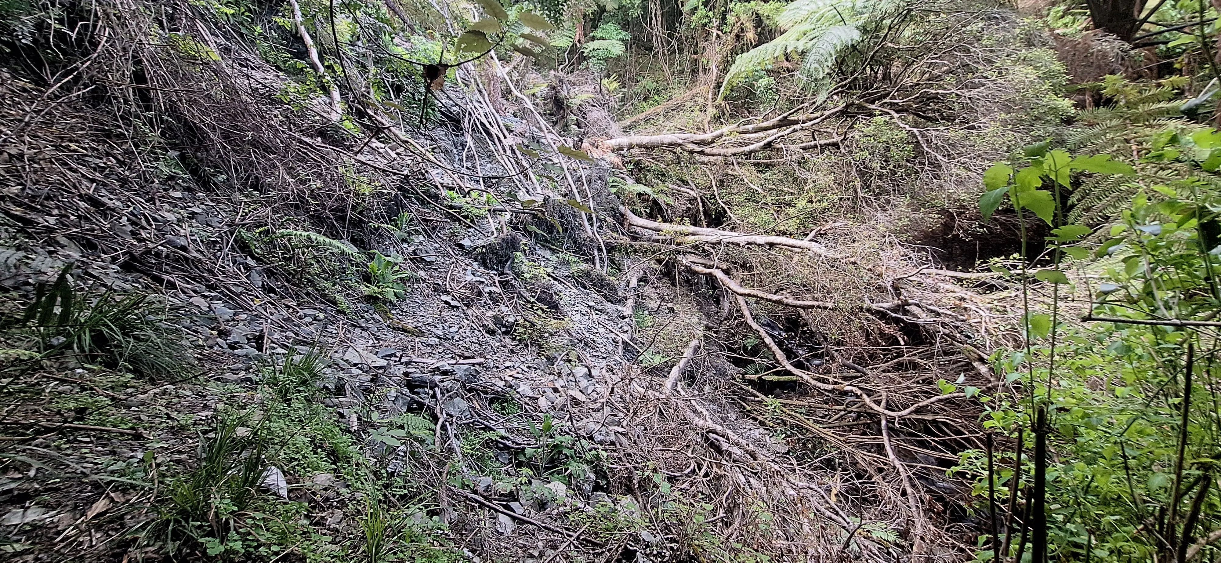
Track description The Fenceline Walk takes you through regenerating forest above the old Ōtaki Forks campsite (which is no longer in use), offering picturesque views of the Waiotauru Valley. Please note that there is a slip on the track, approximately 10 minutes from the track start. Exercise caution when traversing this area. This track is best enjoyed in connection with an overnight stay at Boielles Flat Campsite or Parawai Lodge Getting there Ōtaki Forks is a rural locality located 19 km inland from Ōtaki township and is approximately 1 hour and 30 minutes drive from Wellington or Palmerston North. F ollow the Ōtaki Gorge Road around 11 km until Shields Flat Carpark. From here access is on foot only along the road. It is 3.5km to Boielles Flat, and another 1.5km from there to the start of the Fenceline Walk. Use this location in Google Maps to find your way to the car park. Helpful resources Find tips, guides and how-to videos to help you prepare for your walk at mountainsafety.org.nz
Dogs allowed. Keep dog under control at all times.
Track information, access and weather can change. Confirm current alerts and land-manager information close to departure, tell someone your plans, and carry equipment appropriate for the route and conditions.