11 October 2026
Fine spells. Clouding over this evening with possible late drizzle. Northerlies.
Loading outdoor place details…
Tararua Forest Park
The open summit of Kapakapanui is one of the best viewpoints in the Tararua Range.
Distance
11.5 km
Walking time
7–9 hr loop from Ngatiawa Rd via summit
Difficulty
Advanced
Dogs
On-lead only
Wheelchair access
Not marked friendly
Current status
Weather outlook
Issued 11 Oct 2026, 4:35 pm
11 October 2026
Fine spells. Clouding over this evening with possible late drizzle. Northerlies.
12 October 2026
Mostly cloudy with patchy drizzle, clearing to fine in the morning. Cloud returning in the evening. Light winds.
13 October 2026
Occasional rain. Northwesterlies developing in the morning.
14 October 2026
Occasional rain, becoming persistent about the ranges in the evening. Northwesterlies.
15 October 2026
Showers, some heavy. Westerlies, turning southerly in the evening.
Regional guidance only; elevation and terrain can produce different conditions.
Explore the area
Explore the track route and surrounding area before you set out.
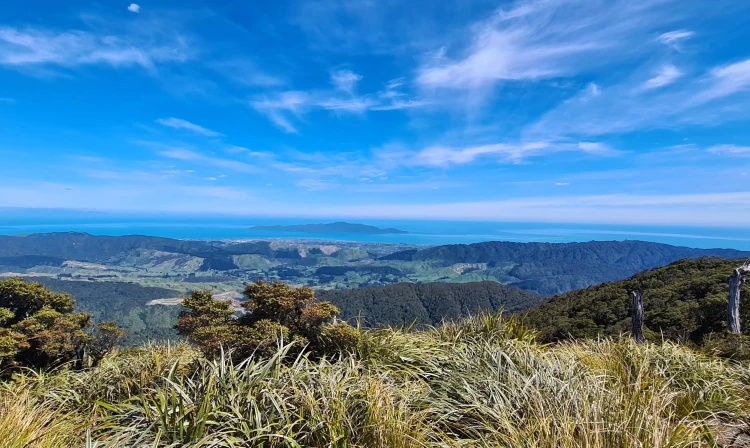
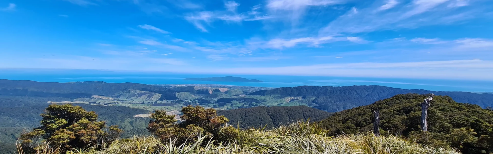
Kapakapanui is an isolated minor peak of 1102 metres in the southwest corner of the range, dominating the skyline from Paraparaumu and Waikanae. The open summit of Kapakapanui is one of the best viewpoints in the Tararua Range, revealing not only the full extent of the Southern Crossing, but also the featureless forested maze of the Renata-Maymorn-Akatarawa uplands, as well as the sweep of the Kapiti coastline and the dramatic silhouette of Kapiti Island 22 km to the west. The climb is steep and the track rough and muddy in places, with the forest still bearing the marks of the devastating 1936 cyclonic storm.
The track begins on private property. Please park considerately and keep dogs on a lead. The first 15 to 20 minutes require several unbridged river crossings, be prepared to get wet feet. The track will be muddy and slippery after heavy rain. Do not attempt to cross if the river is in flood.
Kapakapanui Hut (opens in browser)
From Waikanae, follow Reikorangi Road and turn into Ngatiawa Road. From the Hutt Valley, follow Akatarawa Road and turn into Ngatiawa Road. The track carpark is next to house number 395. You will begin the walk down a driveway with an orange marker. Use this location in Google Maps to find your way there.
We encourage you to continue gaining the skills and knowledge required for a safe trip. The NZ Mountain Safety Council has lots of free resources and information you can use. These can be accessed via www.mountainsafety.org.nz . We recommend trying these online learning tools: Trip planning Tramping / field Skills Basic Navigation River Safety Additionally, check out the range of helpful videos available from the NZ Mountain Safety Council YouTube channel .
Dogs on a leash only.
Track information, access and weather can change. Confirm current alerts and land-manager information close to departure, tell someone your plans, and carry equipment appropriate for the route and conditions.