Loading outdoor place details…
KiwiTools
Search KiwiToolsFind tools, guides and categories in one place.
Loading photo
1 / 10Wanaka area
Fern Burn Hut Track
The Wānaka end of the challenging, multi-day Motatapu Track offers an enjoyable day or overnight walk to Fern Burn Hut.
Distance
6.53 km
Walking time
3 - 4 hours one way
Difficulty
Intermediate
Dogs
Not allowed
Wheelchair access
Not marked friendly
Current status
Alerts and track conditions
Outdoor alert
Outdoor alert
Outdoor alert
Outdoor alert
Explore the area
Fern Burn Hut Track on the map
See the full route on the map
Explore the track route and surrounding area before you set out.
About Fern Burn Hut Track
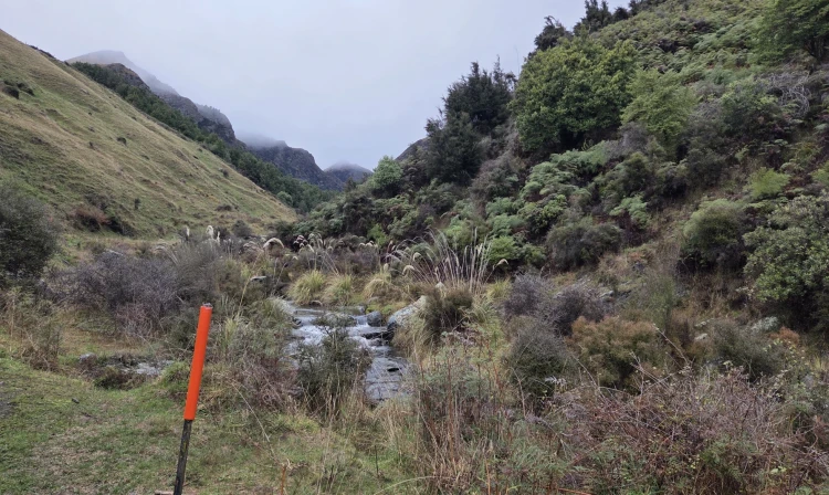
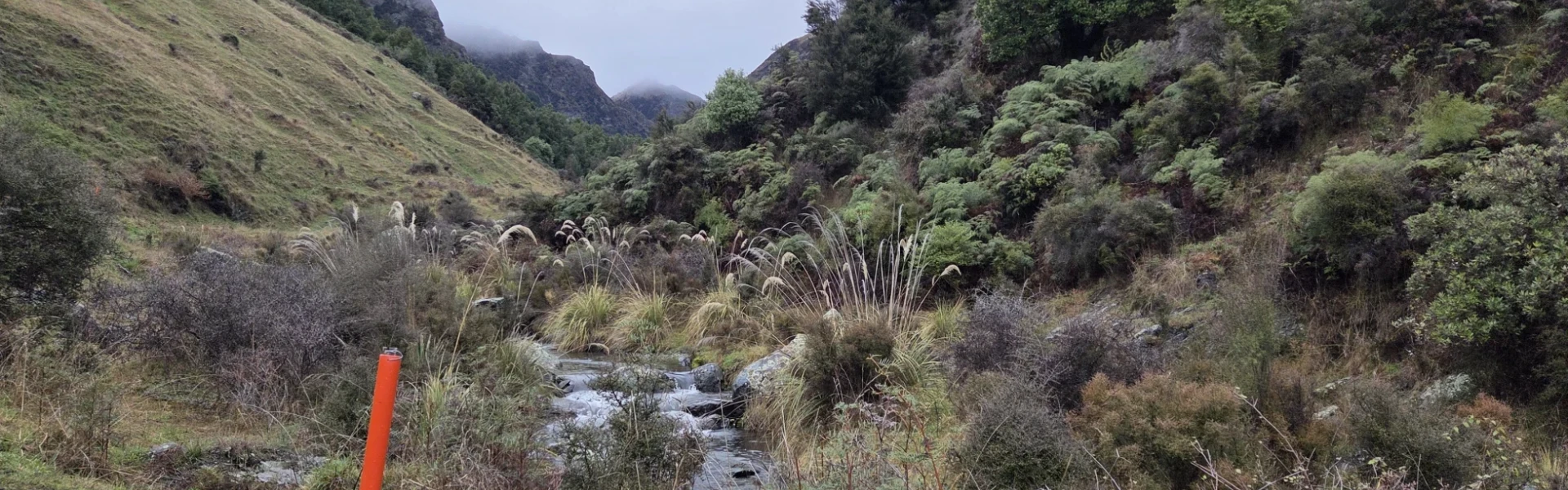
The track starts on the left side of Motatapu Road, just before the first bridge/river ford, about 3 km from Glendhu Bay Camp. Parking is on the right. The track starts on farmland, and you'll go through a series of gates before following the Fern Burn River. Then the track climbs into steeper terrain where the river narrows and cascades through ancient beech forest. Above the treeline, the track continues through upland tussock to Fern Burn Hut. Care is required as this track can be very slippery and there are some steep and exposed sections.
Huts and campsites
Fern Burn Hut
Getting there for Fern Burn Hut Track
Just a 20m minute drive from Wānaka, the Fern Burn Hut Track starts at the Motutapu Track Carpark. Use this location in Google Maps to find your way there.
Helpful resources
We encourage you to continue gaining the skills and knowledge required for a safe trip. The NZ Mountain Safety Council has lots of free resources and information you can use. These can be accessed via www.mountainsafety.org.nz . Level up in your outdoor knowledge with these interactive online learning tools: Trip Planning Tramping / field Skills Basic Navigation River Safety Additionally, check out the range of helpful videos available from the NZ Mountain Safety Council YouTube channel .
Before you walk Fern Burn Hut Track
Track information, access and weather can change. Confirm current alerts and land-manager information close to departure, tell someone your plans, and carry equipment appropriate for the route and conditions.